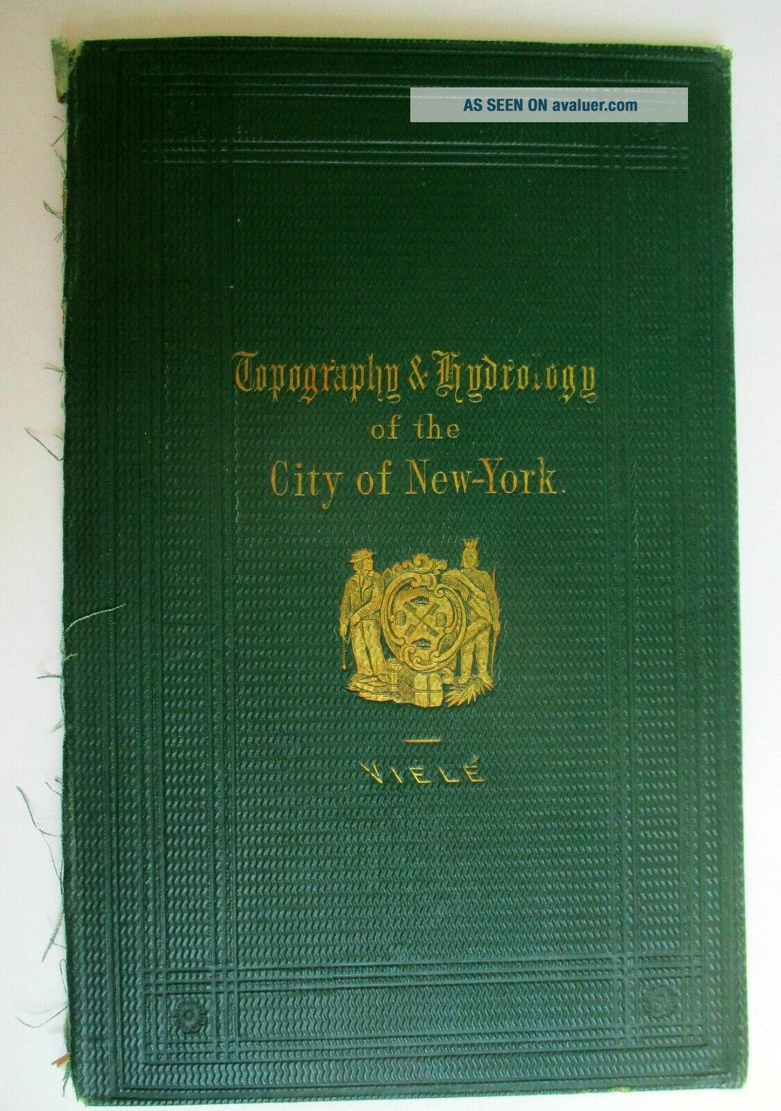
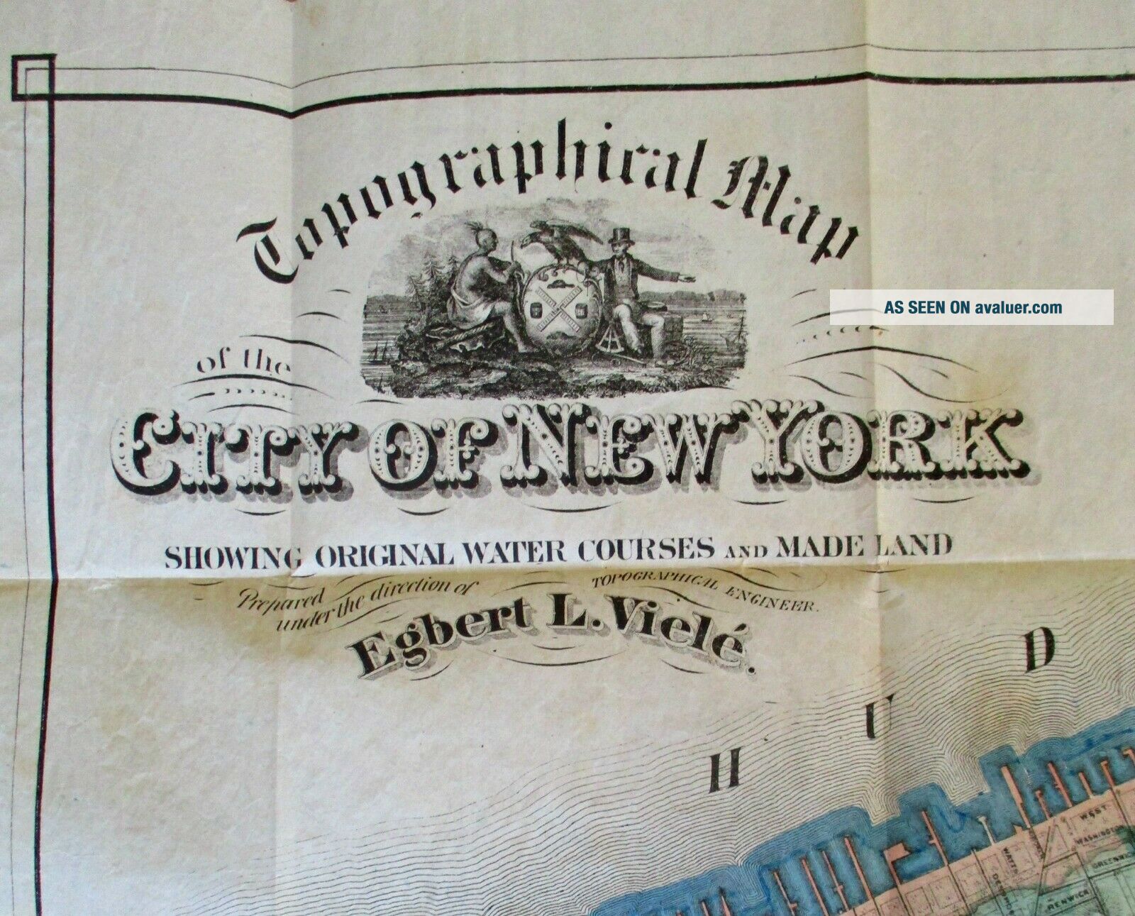
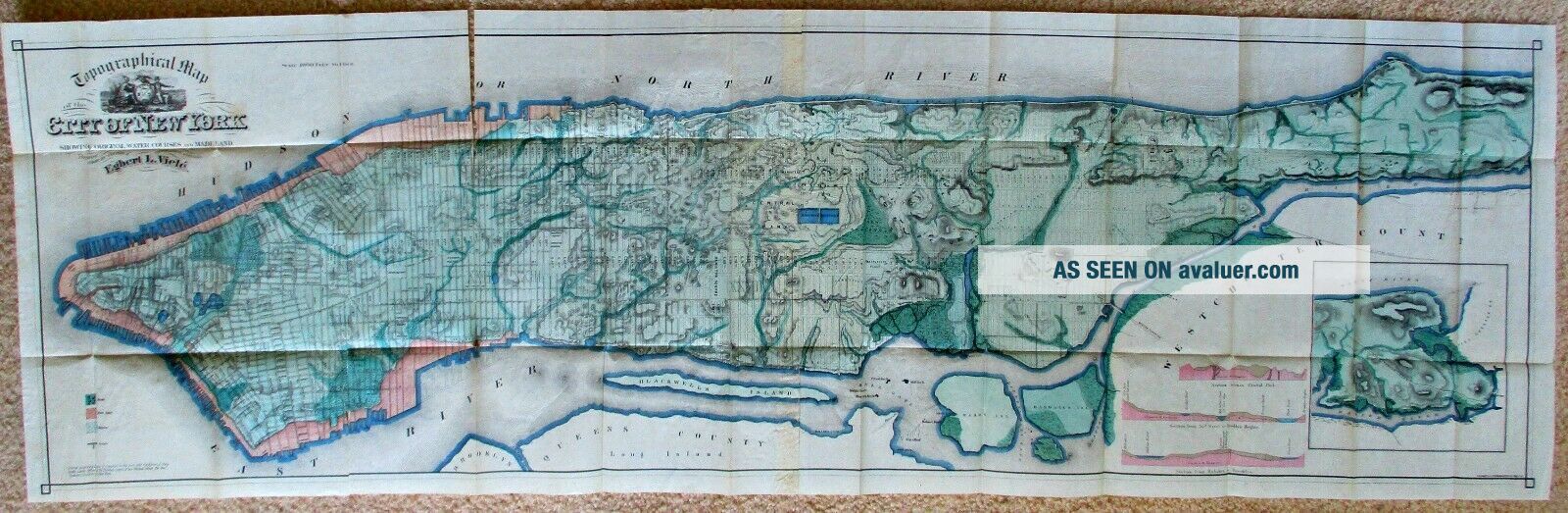
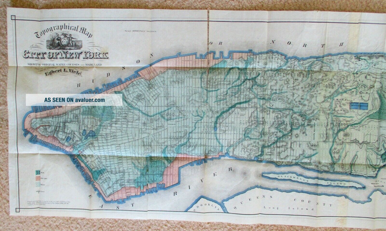
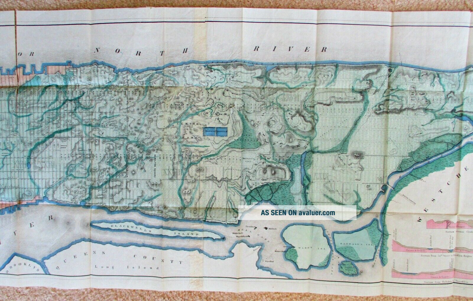
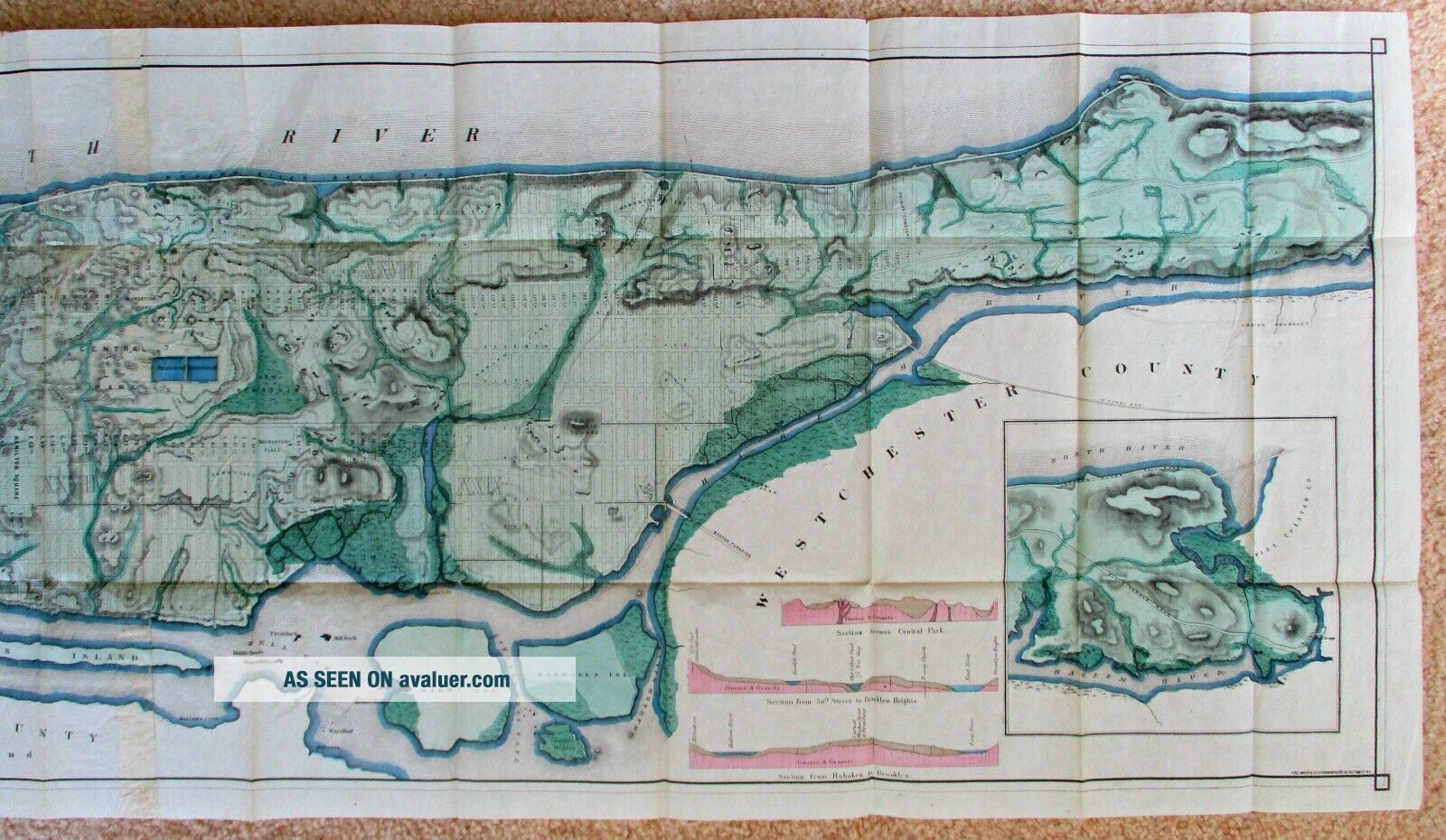
1865 Map Topography & Hydrology Of The City Of York Egbert Viele - Very Rare


Item History & Price

Information:
Reference Number: Avaluer:9812
Original Description:
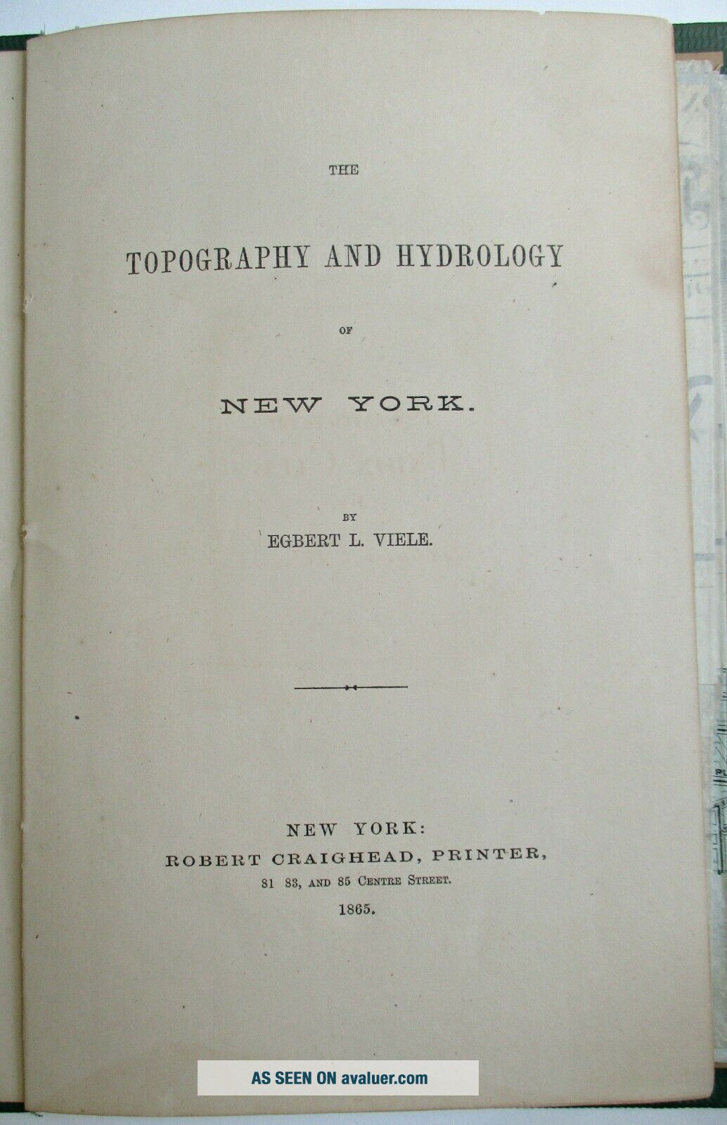
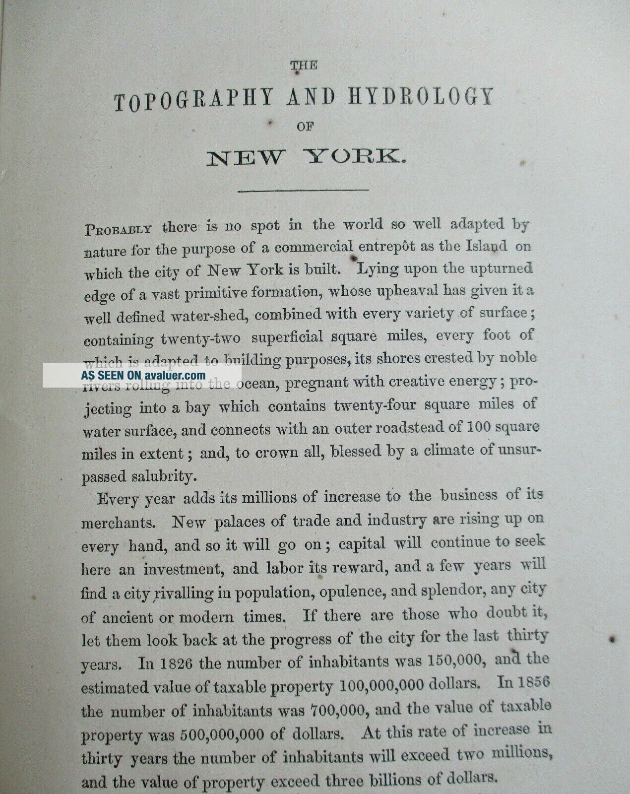
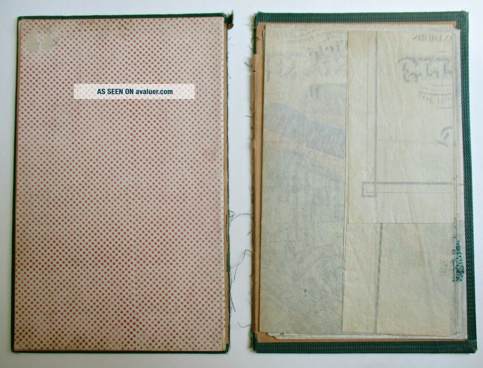
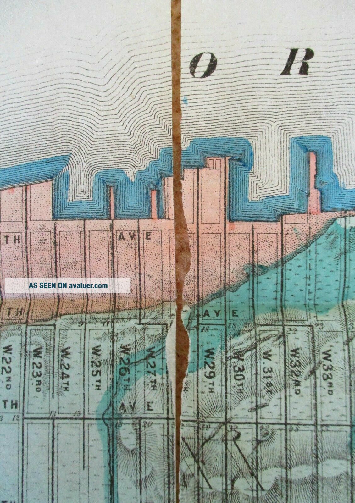
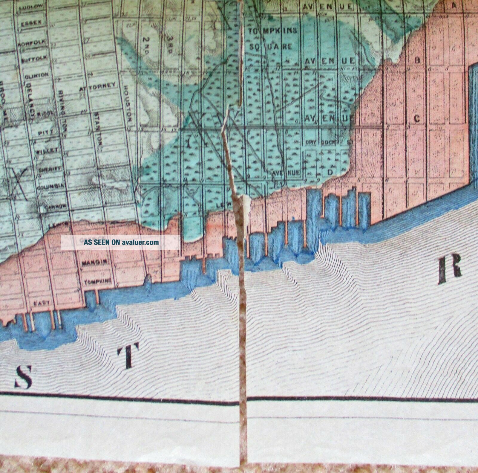
Original Topography and Hydrology of the City of New York by Egbert L. Viele, printed 1865 by Robert Craighead; hand-colored lithography; size unfolded: 19 inches x 63 inches. folded and bound with a title page and 13 page explanation and description of the map. Condition is fair, binder has separated at spine and is in two pieces. map is complete and intact with damage and separation along some fold sections. A very rare and iconic map of Manhattan. Examples have sold in the past... from three to five thousand dollars. If professionally removed from the binder and repaired, this map when framed would make a spectacular display and the center piece of any NYC map collection.


    Similar items


  • Antique Map - Part 1 Of The City Of Portsmouth - N.  Hampshire - 1892 Atlas

    Antique Map - Part 1 Of The City Of Portsmouth - N. Hampshire - 1892 Atlas

  • Antique Map,  A Plan Of The City And Suburbs Of London

    Antique Map, A Plan Of The City And Suburbs Of London

  • Antique Map: " A Plan Of The City And Harbour Of La Vera Cruz And The Castle Of

    Antique Map: " A Plan Of The City And Harbour Of La Vera Cruz And The Castle Of

  • Antique Map " A Plan Of The City & Harbour Of Louisburg; Shewing That Part Of

    Antique Map " A Plan Of The City & Harbour Of Louisburg; Shewing That Part Of

  • Vintage Enit 1970s Tourist Map Napoli Plan Of The City Italy - Naples 50x70cm

    Vintage Enit 1970s Tourist Map Napoli Plan Of The City Italy - Naples 50x70cm

  • Antique Map " A Plan Of The City And Harbour Of Havanna,  Capital Of Cuba "

    Antique Map " A Plan Of The City And Harbour Of Havanna, Capital Of Cuba "

  • Charles City Quadrangle Virginia Topography Map 1965 Department Of The Interior

    Charles City Quadrangle Virginia Topography Map 1965 Department Of The Interior

  • 1852 Milan Milano Plan Of The City Hand Coloured Antique Map Sduk Cox

    1852 Milan Milano Plan Of The City Hand Coloured Antique Map Sduk Cox


    • You might also like


    • 1860 Mitchell Hand Colored Map Colorado,  Nebraska & Kansas - Civil War Era

      1860 Mitchell Hand Colored Map Colorado, Nebraska & Kansas - Civil War Era

    • 18th Century French Map Of North America

      18th Century French Map Of North America

    • Las Vegas Nevada Vintage 1967 Us Geological Survey Quadrangle Map 4 Panels

      Las Vegas Nevada Vintage 1967 Us Geological Survey Quadrangle Map 4 Panels

    • Rare Antique 1845 Maps United States Exploring Expedition Book Antartica Hawaii

      Rare Antique 1845 Maps United States Exploring Expedition Book Antartica Hawaii

    • Vintage 1926 Map Hollywood From The Best Surveys Of The Time

      Vintage 1926 Map Hollywood From The Best Surveys Of The Time

    • American Continent (western Hemisphere) 1747 Bowen Antique Copper Engraved Map

      American Continent (western Hemisphere) 1747 Bowen Antique Copper Engraved Map

    • California As Island United States 1700 De Fer Unusual First Edition Antique Map

      California As Island United States 1700 De Fer Unusual First Edition Antique Map

    • Gulf Coast Florida Texas United States 1705 De Fer Unusual Antique Engraved Map

      Gulf Coast Florida Texas United States 1705 De Fer Unusual Antique Engraved Map

Avaluer          About Us          Privacy Policy          Contact Us          UP
© 2022, avaluer.net, Inc. or its affiliates