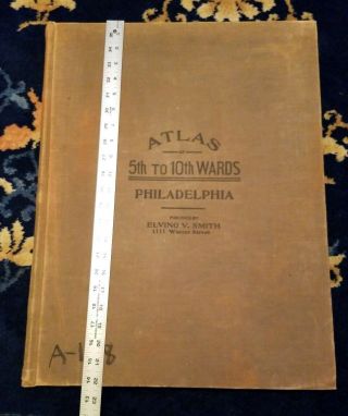
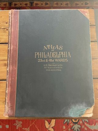
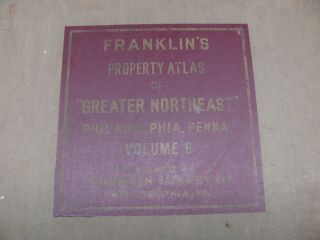
Vintage Philadelphia Atlas. Wards 23rd & 41st G. W. Bromley & Co. Disston Area


Item History & Price

Information:
Reference Number: Avaluer:55845Year: 1929
Date Range: 1920-1929Format: Atlas
US State: PennsylvaniaCartographer/Publisher: G. W. Bromley & Co.
City: PhiladelphiaType: City Map
Country/Region: United States of AmericaOriginal/Reproduction: Antique Original
Original Description:
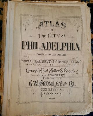
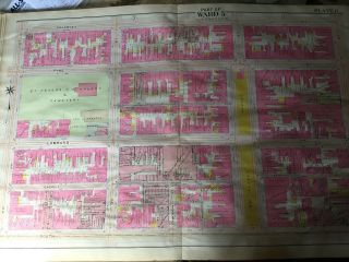
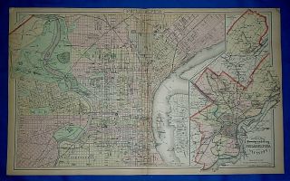
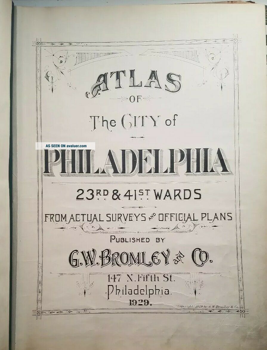
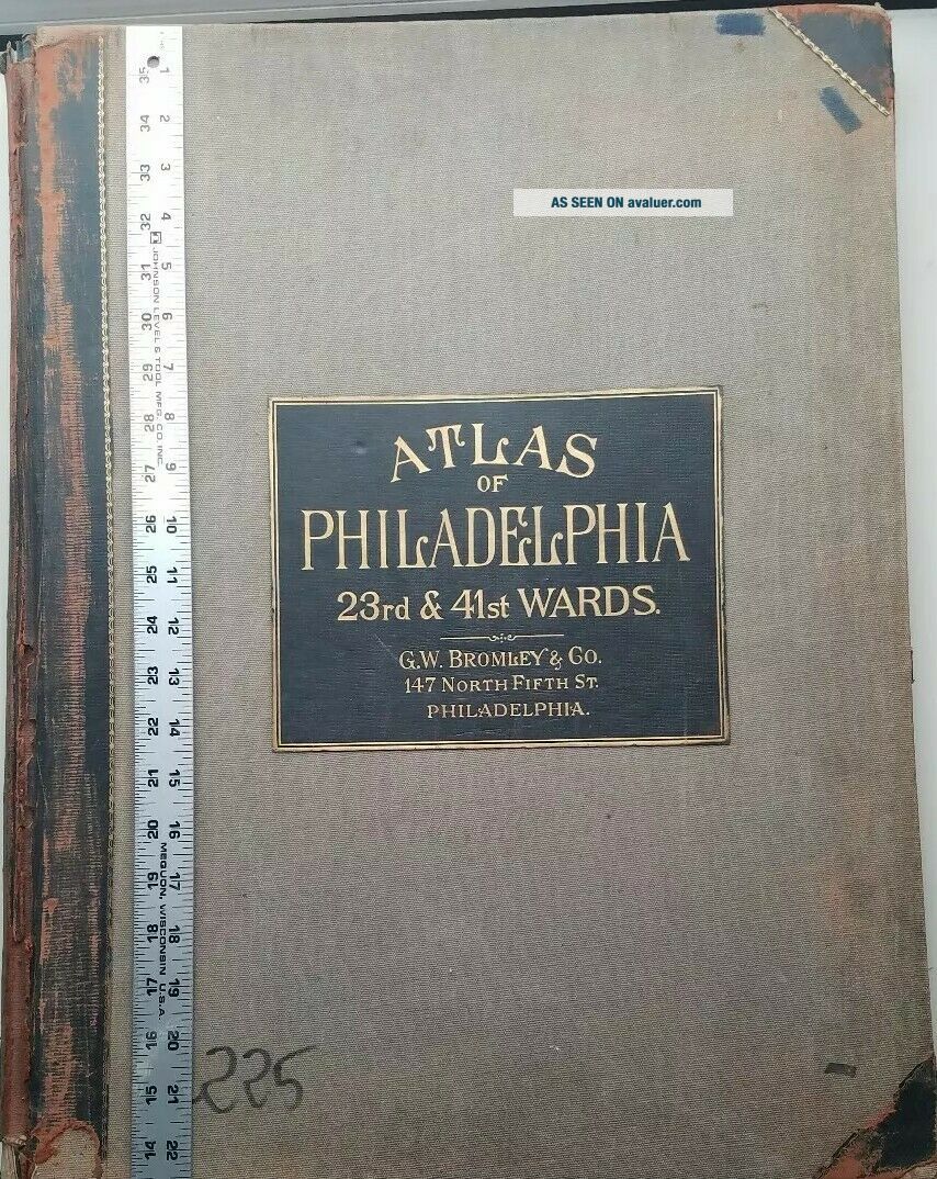
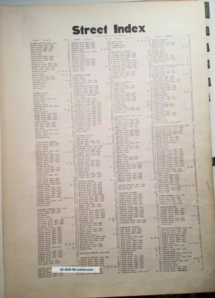
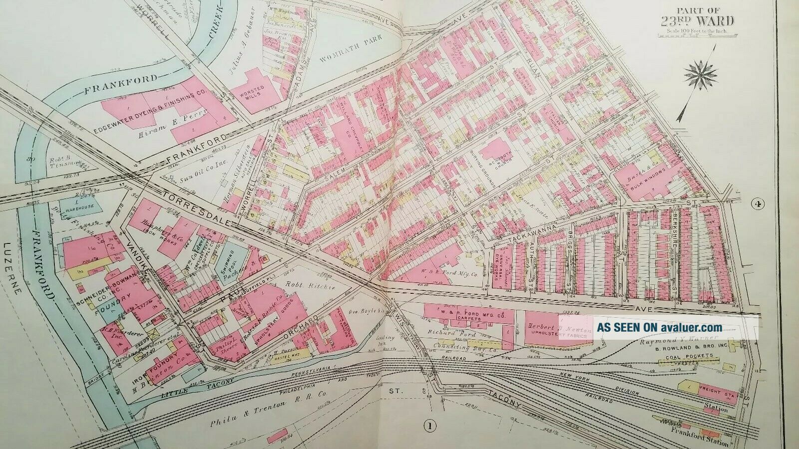
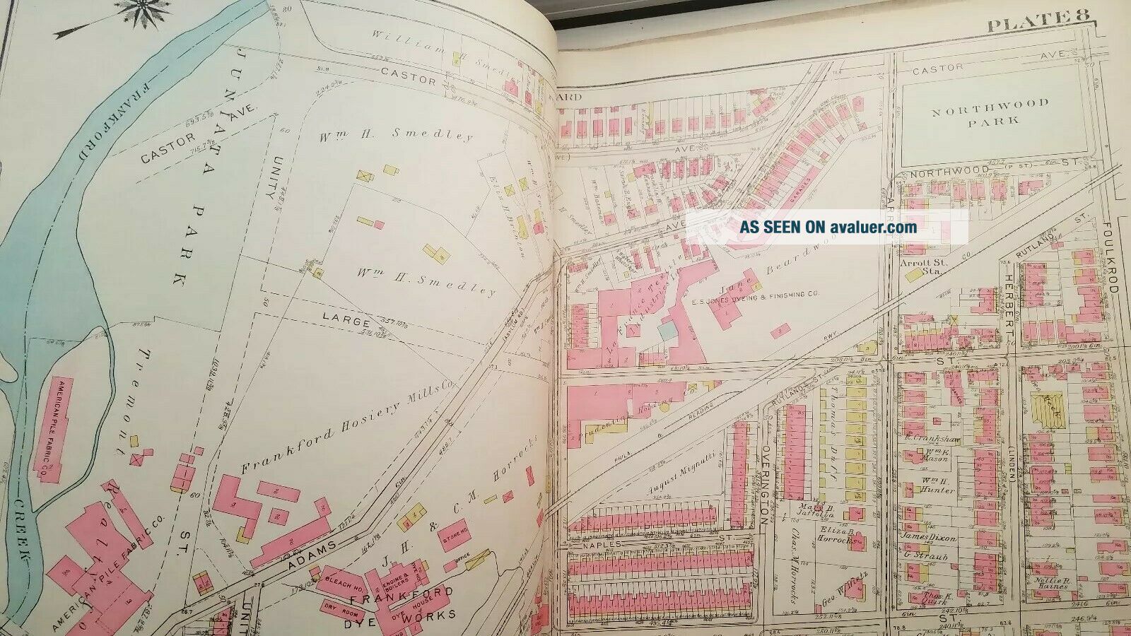
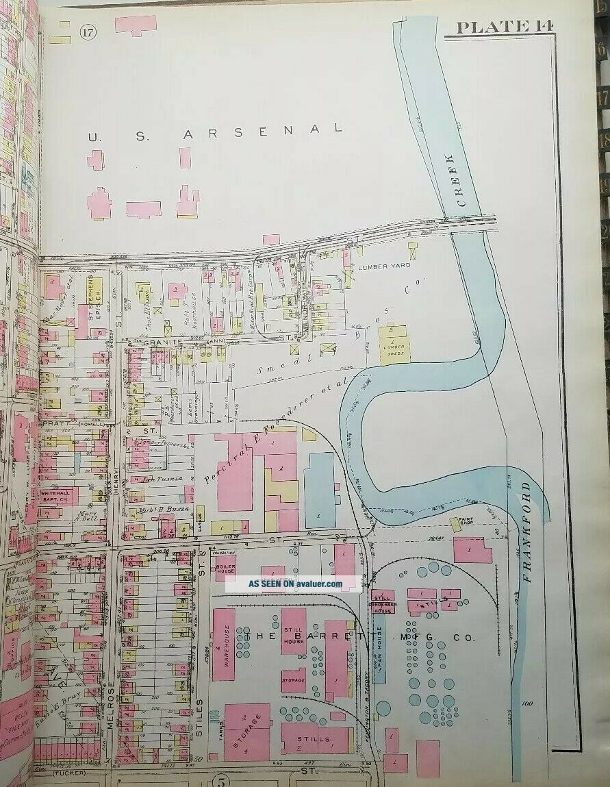
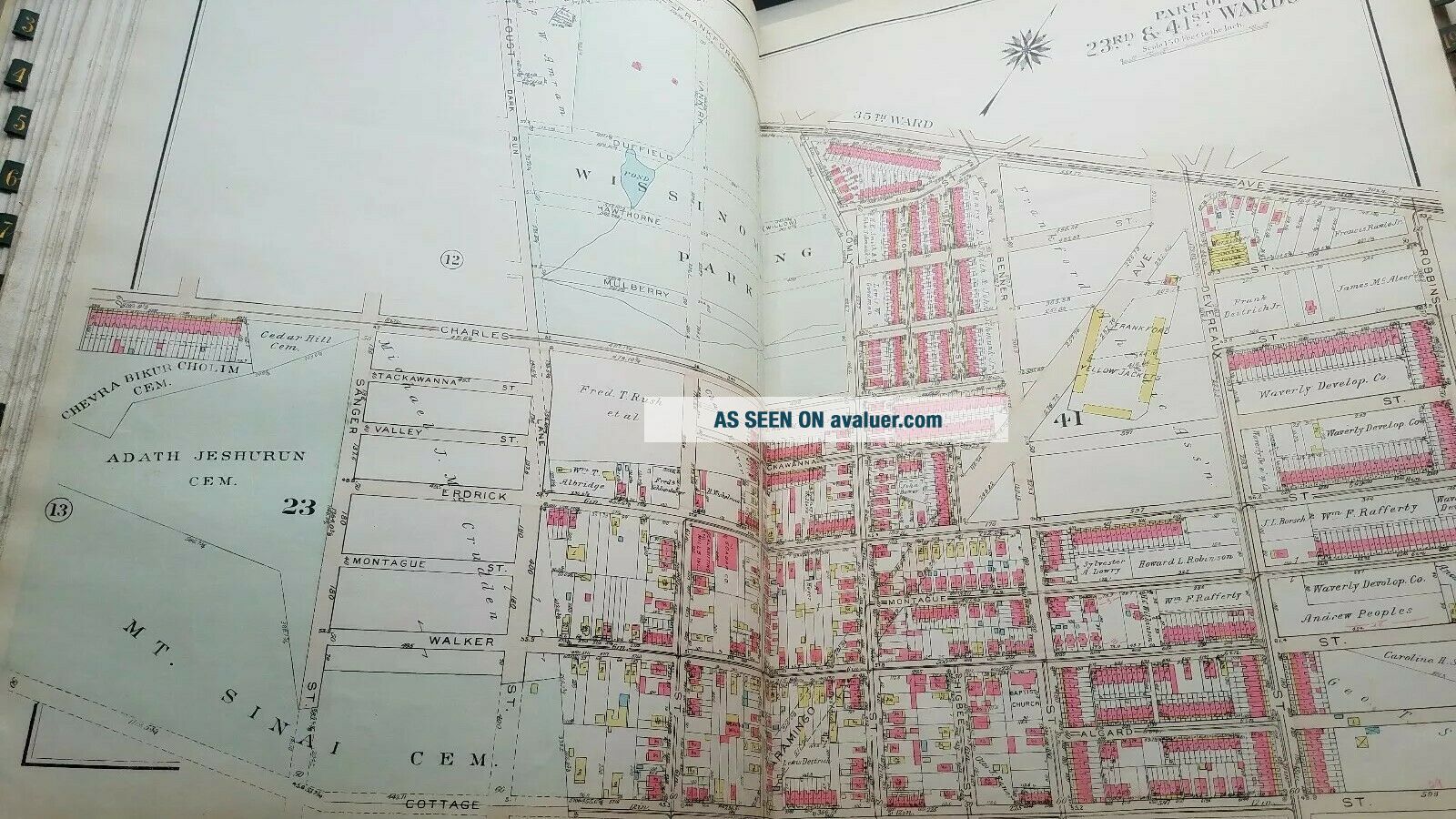
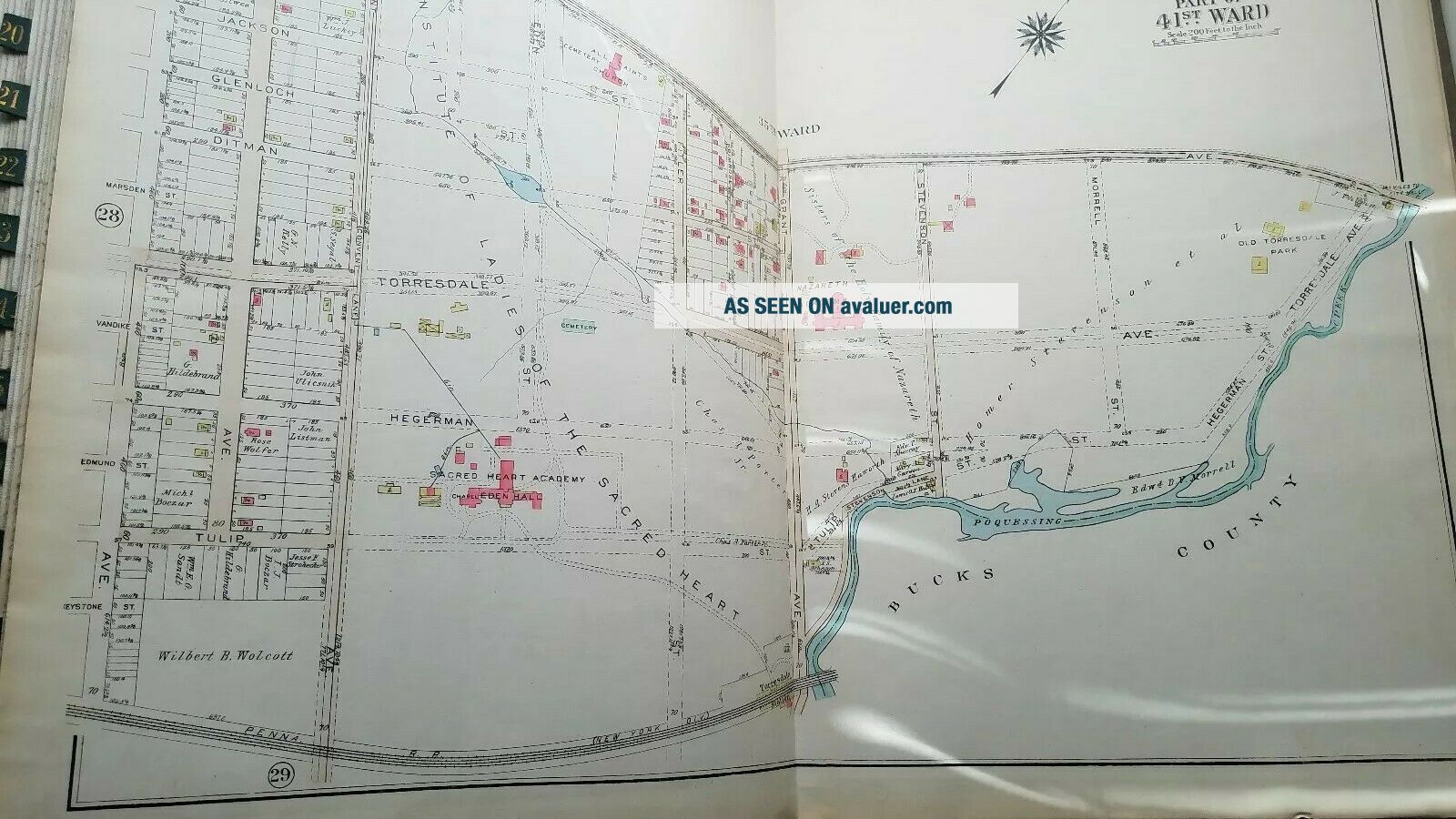
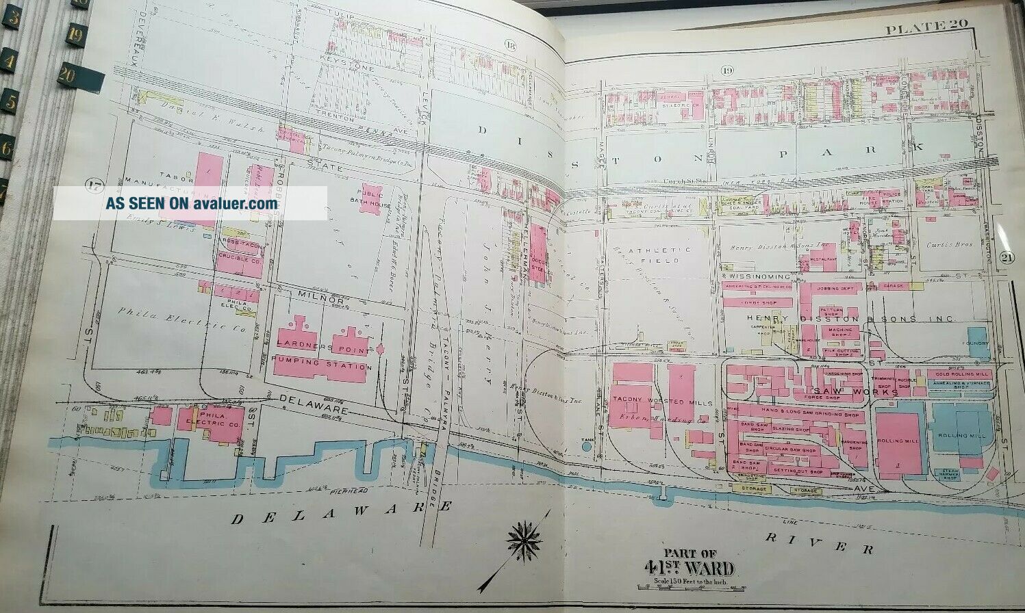
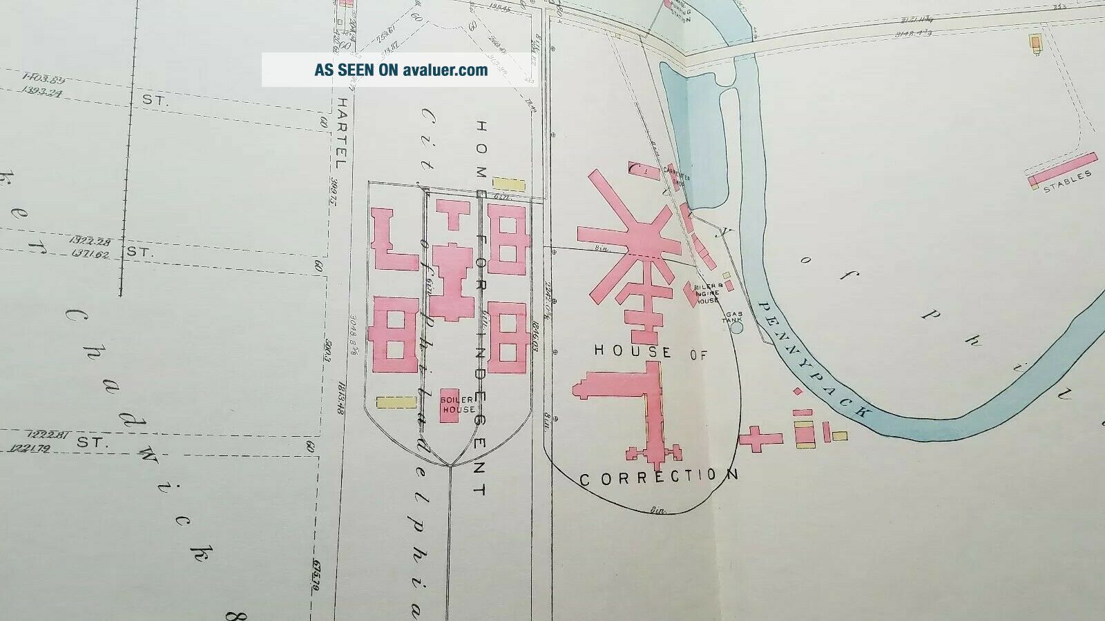
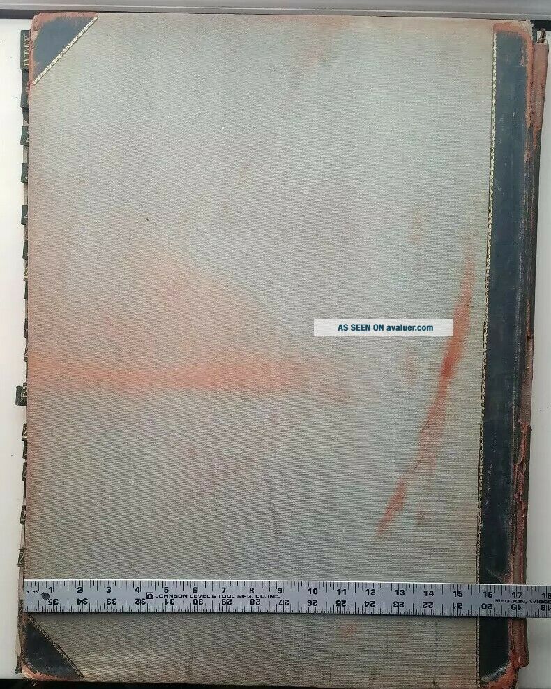
Philadelphia Atlas. Wards 23rd and 41st 1929 book of maps by G.W. Bromley & Co.. Plates 1 through 30. Beautiful, highly collectible very nice desirable condition. Please see photos for condition and size before bidding.
International buyers will receive a final shipping invoice from ebay global services.Thanks for looking!


    Similar items


  • Vintage Philadelphia Atlas.  E.  V.  Smith.  1927/30.  Wards 5th To 10th.  23 Plates

    Vintage Philadelphia Atlas. E. V. Smith. 1927/30. Wards 5th To 10th. 23 Plates

  • Vintage Philadelphia Atlas.  G.  W.  Bromley & Co 1901.  Wear And Losses.

    Vintage Philadelphia Atlas. G. W. Bromley & Co 1901. Wear And Losses.

  • Vintage Philadelphia 31st Ward George Leader Campaign Button Pin Ribbon 1955

    Vintage Philadelphia 31st Ward George Leader Campaign Button Pin Ribbon 1955

  • North Philadelphia Pa - 1920 G.  W Bromley Atlas - 23rd 41st Ward - Frankford/holmesburg

    North Philadelphia Pa - 1920 G. W Bromley Atlas - 23rd 41st Ward - Frankford/holmesburg

  • 1908 Philadelphia Pa Ward 5 St Peters Pe Church & Cemetery Plat 6 Atlas Map

    1908 Philadelphia Pa Ward 5 St Peters Pe Church & Cemetery Plat 6 Atlas Map

  • Atlas Of Greater Northeast Philadelphia Pennsylvania Wards 35 And 41 To Pennypac

    Atlas Of Greater Northeast Philadelphia Pennsylvania Wards 35 And 41 To Pennypac

  • Vintage Metal Lathe Logan,  South Bend,  Atlas,  Ward,  Gun Smith,  Watchmaker

    Vintage Metal Lathe Logan, South Bend, Atlas, Ward, Gun Smith, Watchmaker

  • Vintage 1889 Atlas Map Philadelphia,  Pennsylvania Old Authentic S&h

    Vintage 1889 Atlas Map Philadelphia, Pennsylvania Old Authentic S&h


    • You might also like


    • 1860 Mitchell Hand Colored Map Colorado,  Nebraska & Kansas - Civil War Era

      1860 Mitchell Hand Colored Map Colorado, Nebraska & Kansas - Civil War Era

    • 18th Century French Map Of North America

      18th Century French Map Of North America

    • Las Vegas Nevada Vintage 1967 Us Geological Survey Quadrangle Map 4 Panels

      Las Vegas Nevada Vintage 1967 Us Geological Survey Quadrangle Map 4 Panels

    • Rare Antique 1845 Maps United States Exploring Expedition Book Antartica Hawaii

      Rare Antique 1845 Maps United States Exploring Expedition Book Antartica Hawaii

    • Vintage 1926 Map Hollywood From The Best Surveys Of The Time

      Vintage 1926 Map Hollywood From The Best Surveys Of The Time

    • American Continent (western Hemisphere) 1747 Bowen Antique Copper Engraved Map

      American Continent (western Hemisphere) 1747 Bowen Antique Copper Engraved Map

    • Gulf Coast Florida Texas United States 1705 De Fer Unusual Antique Engraved Map

      Gulf Coast Florida Texas United States 1705 De Fer Unusual Antique Engraved Map

    • California As Island United States 1700 De Fer Unusual First Edition Antique Map

      California As Island United States 1700 De Fer Unusual First Edition Antique Map

Avaluer          About Us          Privacy Policy          Contact Us          UP
© 2022, avaluer.net, Inc. or its affiliates