Antique Map - CLINTON County Illinois - Warner & Beers/Union Atlas Co. 1876
Item History & Price
| Reference Number: Avaluer:52333 | US State: Illinois |
| Country/Region: United States of America | Year: 1876 |
| Original/Reproduction: Antique Original |
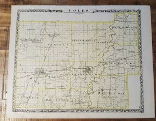
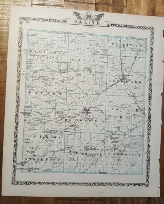
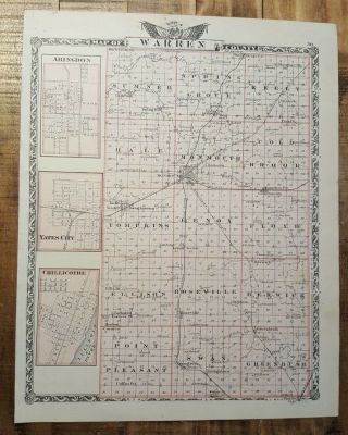
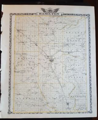
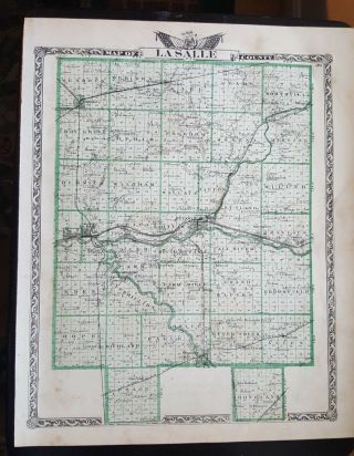
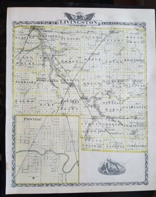
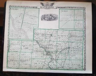
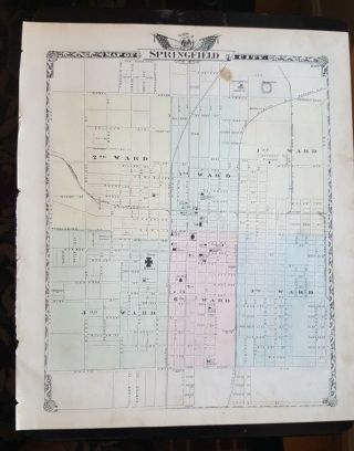
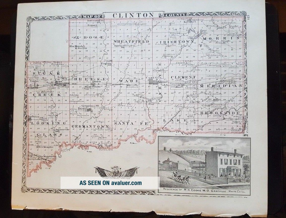
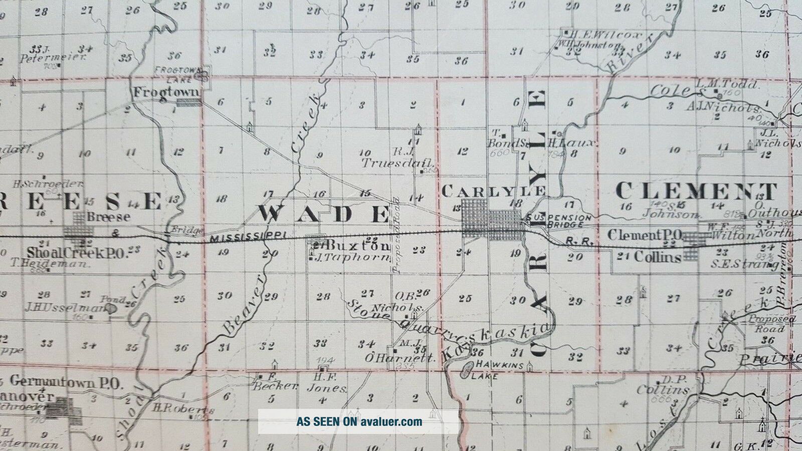
Up for sale is a great, antique map, titled - "MAP OF CLINTON COUNTY - ILLINOIS - 1876".
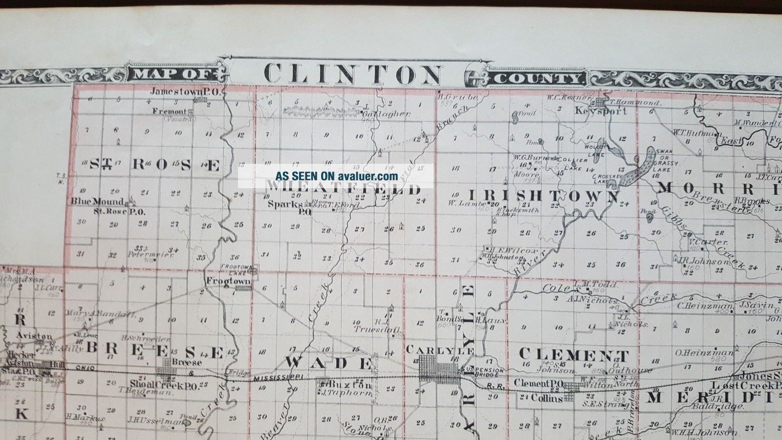
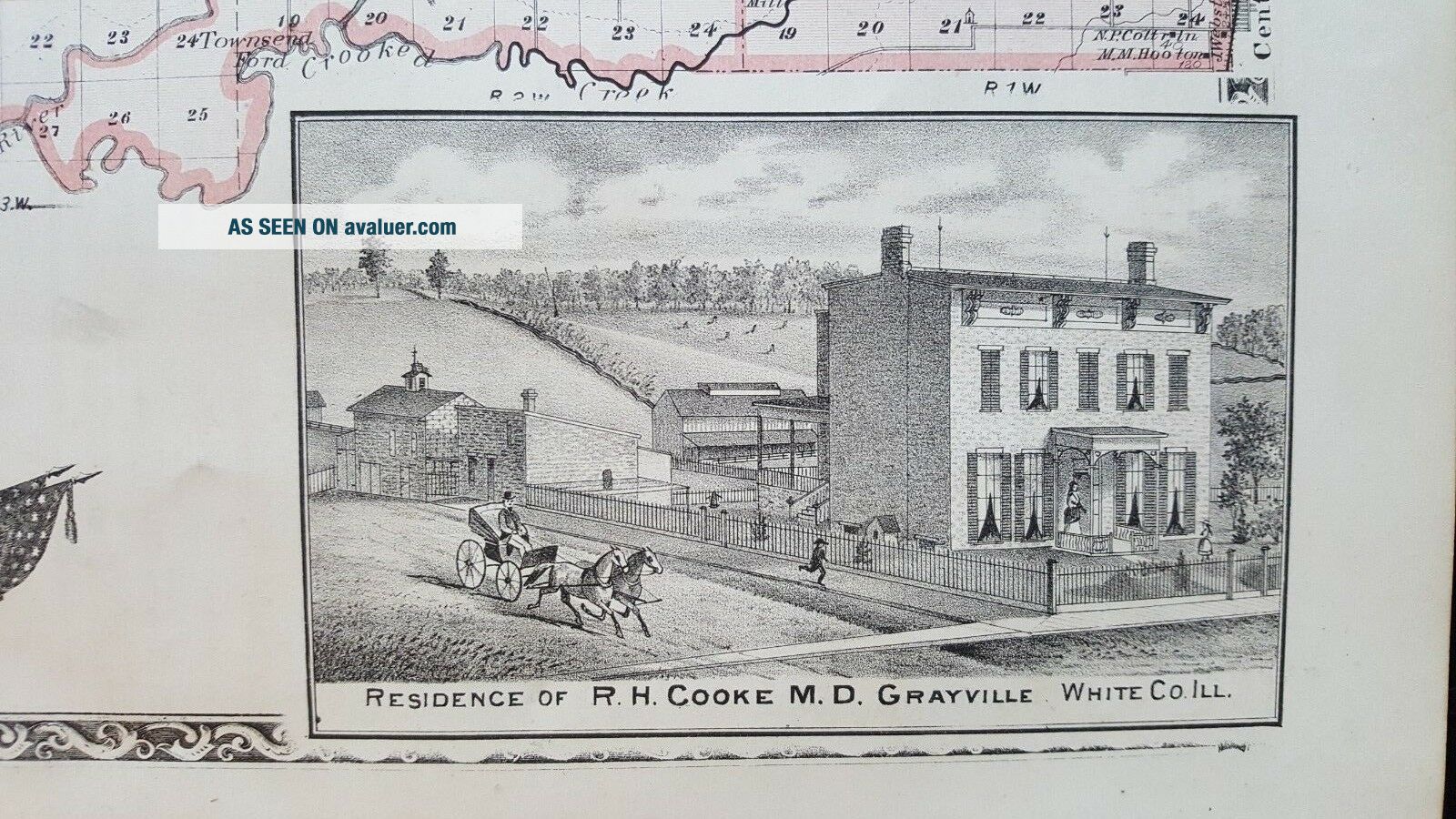
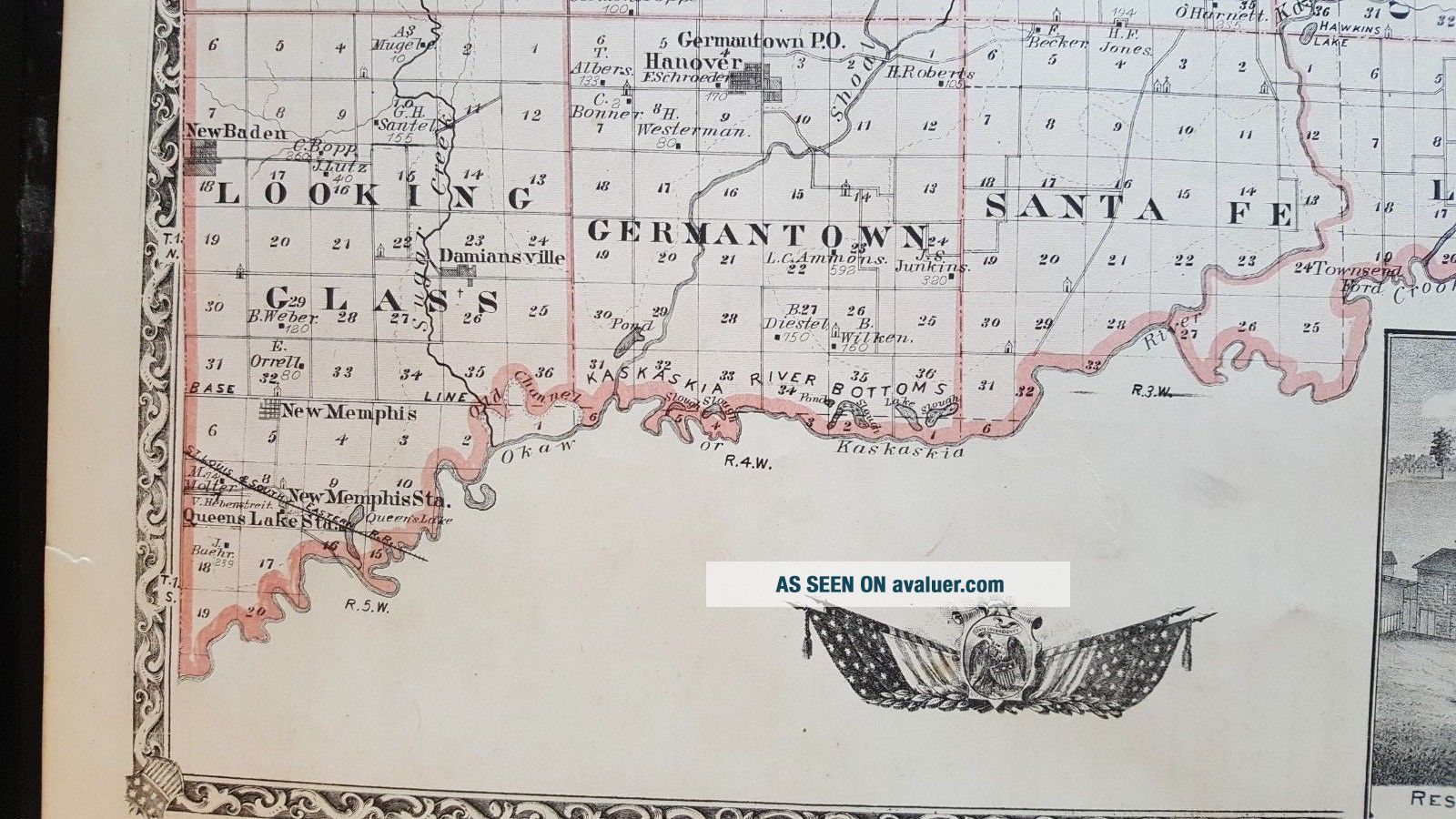
This map measures approximately 14 1/2 x 17 1/2 inches, including the border area. Property specific details . Note: Col. lithograph map. Shows townships and sections, landowners, railroads, schools, churches, timbered areas, lakes, rivers, etc.
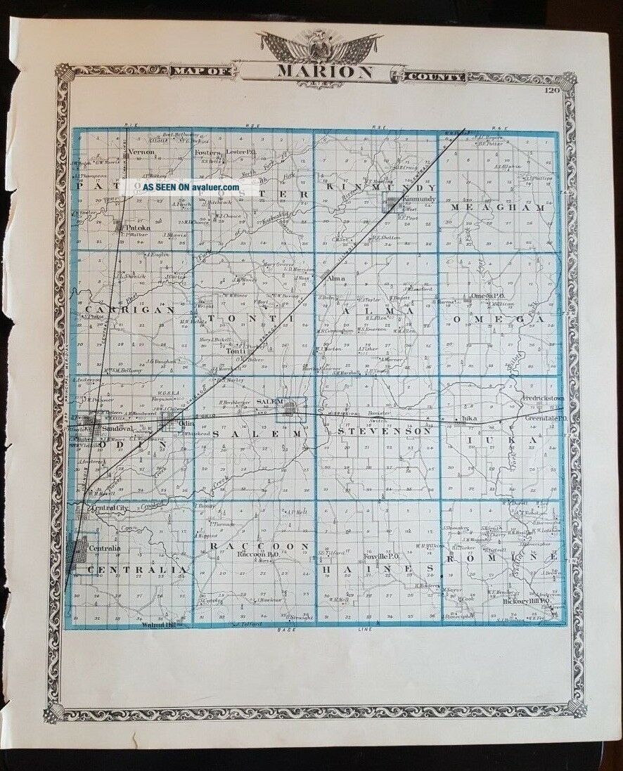
On the reverse side is a Map of MARION COUNTY Illinois. Either side would be great to own! This map is from t...he "Atlas of the State of Illinois - To Which Are Added Various General Maps - History, Statistics and Illustrations. Union Atlas Company, Warner & Beers, Proprietors. Lakeside Building Cor. of Clark & Adams Streets. - Chicago 1876 by Warner & Beers.
Maps this early and showing this much detail are a great piece of history! The map has fantastic coloring to it. There are tears along one of the edges from where it was separated from the binding of the Atlas. Map is generally in very good condition (not perfect but pretty nice). Some browning, spotting and stains. The map has some small tears and chips around the edges, but they do not affect the map, as well as some other stains here and there. Some other dings here and there, as well.
This map would be a great addition to any collection and will look very nice when framed!
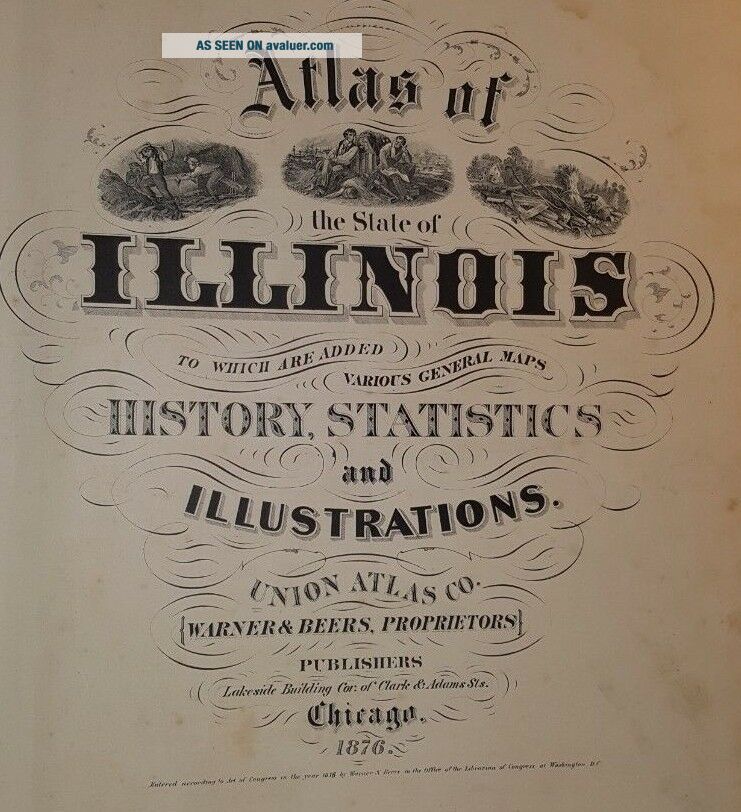
Please note that while I have included a picture of the Title Page of the Atlas this map was taken from, it is NOT included in the sale, as it is a reference piece to determine authenticity for the other maps. I would be happy to include a copy if requested.
Please see my store for other great items.
00206
This map measures approximately 14 1/2 x 17 1/2 inches, including the border area. Property specific details . Note: Col. lithograph map. Shows townships and sections, landowners, railroads, schools, churches, timbered areas, lakes, rivers, etc.
On the reverse side is a Map of MARION COUNTY Illinois. Either side would be great to own! This map is from t...he "Atlas of the State of Illinois - To Which Are Added Various General Maps - History, Statistics and Illustrations. Union Atlas Company, Warner & Beers, Proprietors. Lakeside Building Cor. of Clark & Adams Streets. - Chicago 1876 by Warner & Beers.
Maps this early and showing this much detail are a great piece of history! The map has fantastic coloring to it. There are tears along one of the edges from where it was separated from the binding of the Atlas. Map is generally in very good condition (not perfect but pretty nice). Some browning, spotting and stains. The map has some small tears and chips around the edges, but they do not affect the map, as well as some other stains here and there. Some other dings here and there, as well.
This map would be a great addition to any collection and will look very nice when framed!
Please note that while I have included a picture of the Title Page of the Atlas this map was taken from, it is NOT included in the sale, as it is a reference piece to determine authenticity for the other maps. I would be happy to include a copy if requested.
Please see my store for other great items.
00206