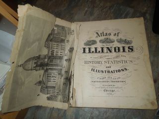
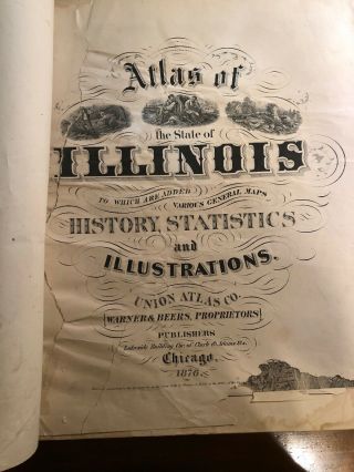
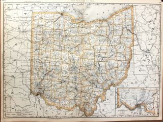
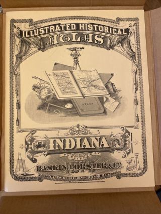
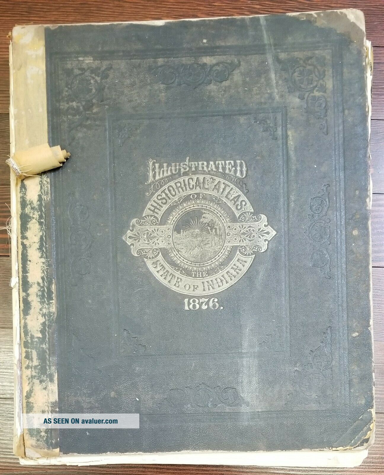
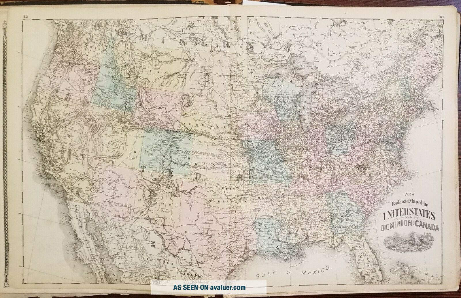
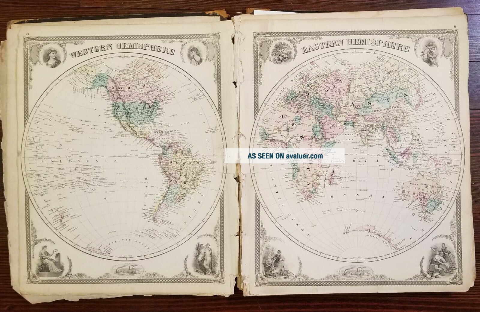
1876 Atlas Of The State Of Indiana Dozens Of Maps


Item History & Price

Information:
Reference Number: Avaluer:44315Topic: Maps
Type: State AtlasPublication Year: 1876
Year: 1876Cartographer/Publisher: Baskin, Forster & Co.
US State: IN, IndianaOriginal/Reproduction: Original
City: ChicagoFormat: Atlas
Original Description:
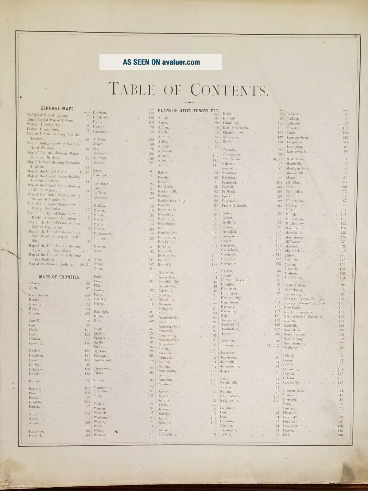
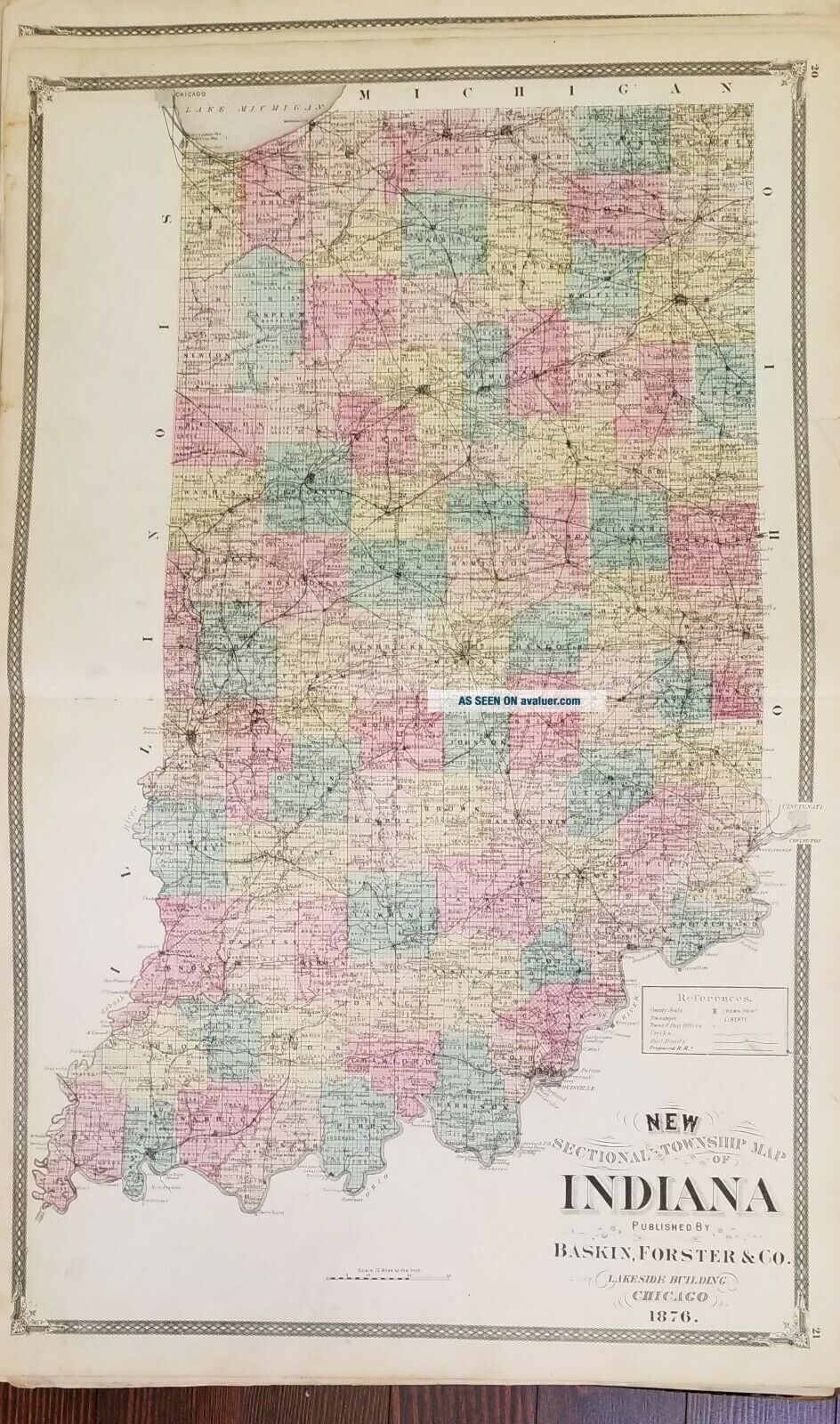
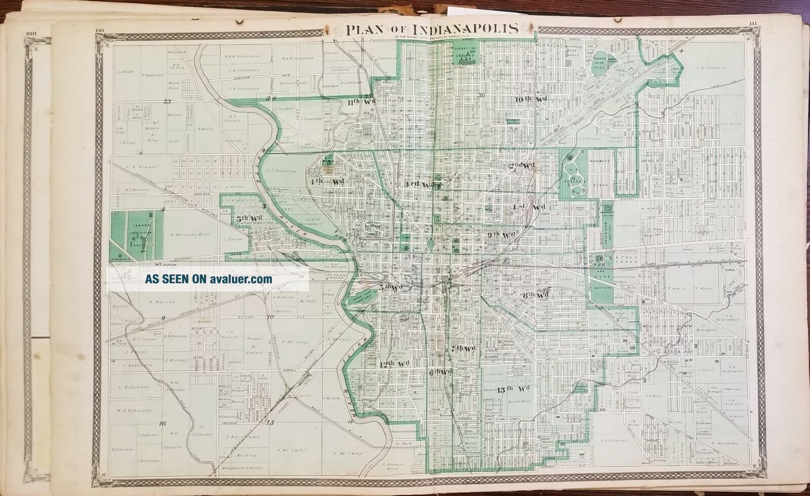
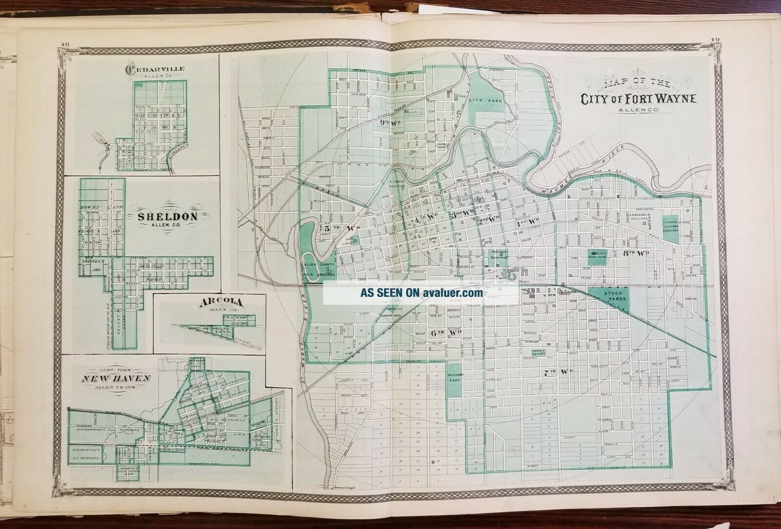
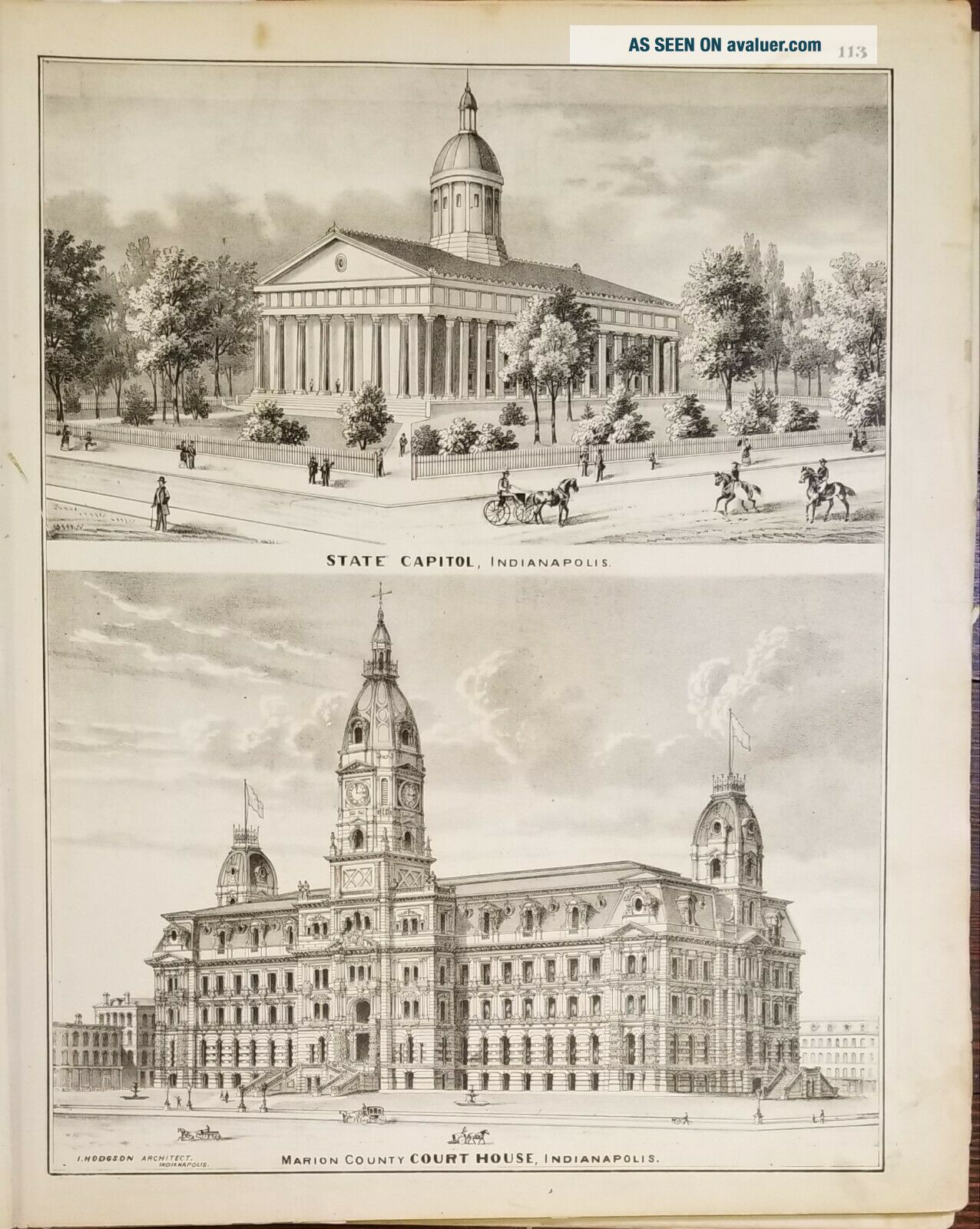
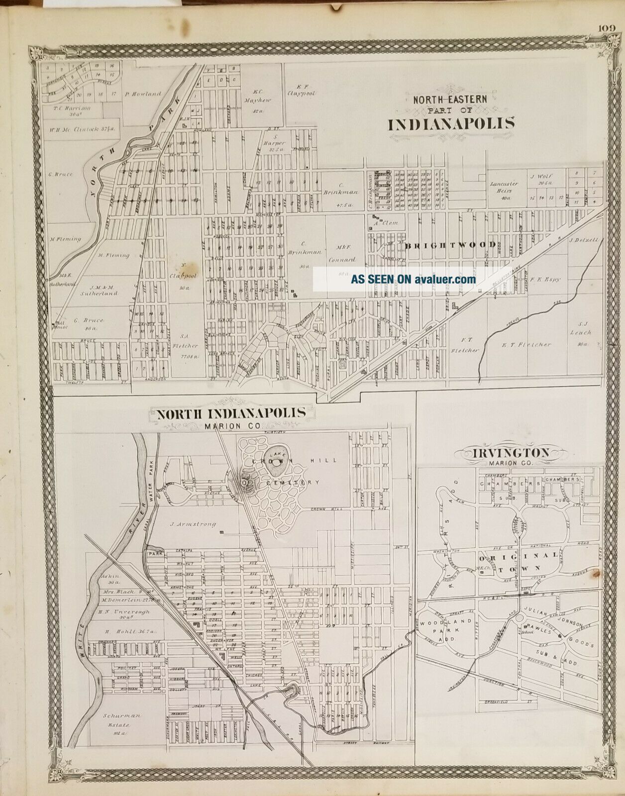
Big, beautiful atlas of the State of Indiana. Including beautiful double-page maps of Fort Wayne and Indianapolis and single-page maps of other major cities in the state.
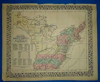
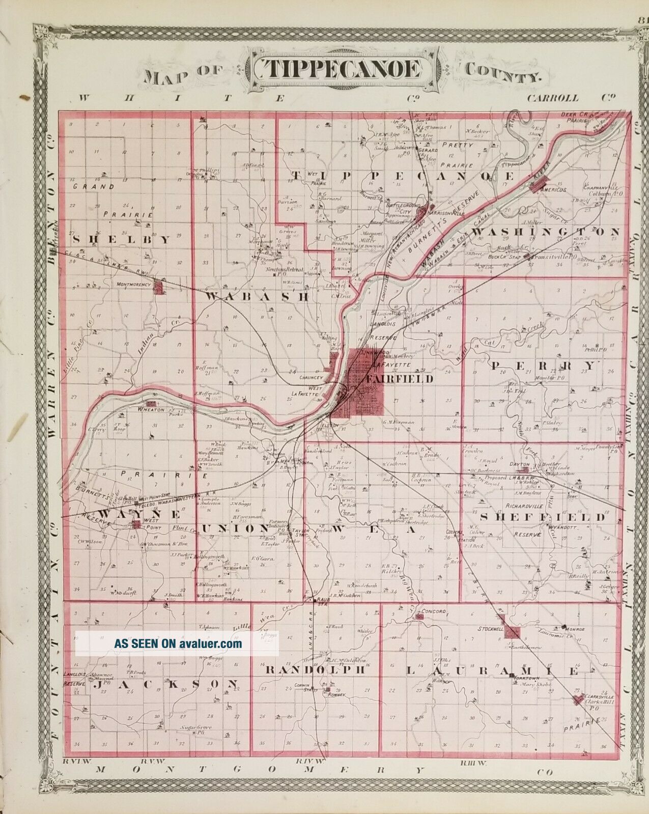
Includes a map of Tippecanoe township highlighting the famous battle fought on November 7, 1811 in Tippecanoe County, Indiana between American forces led by Governor William Henry Harrison of the Indiana Territory and Indian forces associated with Shawnee leader Tecumseh and his brother Tenskwatawa (commonly k...nown as "The Prophet"), leaders of a confederacy of various tribes who opposed settlement of the American West. Indiana was made a state in 1816. Harrison used the saying "Tippecanoe and Tyler too". John Tyler was Harrison's running mate. Harrison served as the ninth president of the United States in 1841. He died of typhoid fever 31 days into his term (the shortest on record).
The maps are two-sided but almost all in strong condition.
Please contact if there are particular questions or maps you would like to see.


    Similar items


  • Rare Antique 1876 Atlas Of The State Of Illinois; Lincoln; Grant Missing Cover

    Rare Antique 1876 Atlas Of The State Of Illinois; Lincoln; Grant Missing Cover

  • Rare 1876 Atlas Of The State Of Illinois; Lincoln; Grant

    Rare 1876 Atlas Of The State Of Illinois; Lincoln; Grant

  • 1888 Large Format 2 Page Rand Mcnally Atlas Map The State Of Ohio 27” X 20”

    1888 Large Format 2 Page Rand Mcnally Atlas Map The State Of Ohio 27” X 20”

  • Vintage 1876 Atlas Map The 13 Colonies Of America Antique

    Vintage 1876 Atlas Map The 13 Colonies Of America Antique

  • 1876 Illustrated Historical Atlas Of Indiana - All Counties 1968 Reprint 14 X17

    1876 Illustrated Historical Atlas Of Indiana - All Counties 1968 Reprint 14 X17

  • G.  M.  Hopkins 1876 Atlas Of Allegheny County Pa –

    G. M. Hopkins 1876 Atlas Of Allegheny County Pa –

  • Antique 1876 Atlas Of Clinton County Ohio Lake Griffing & Stevenson

    Antique 1876 Atlas Of Clinton County Ohio Lake Griffing & Stevenson

  • Beautifully Detailed 1876 Atlas Of York County Pa - Pomeroy,  Whitman & Co.

    Beautifully Detailed 1876 Atlas Of York County Pa - Pomeroy, Whitman & Co.


    • You might also like


    • 1860 Mitchell Hand Colored Map Colorado,  Nebraska & Kansas - Civil War Era

      1860 Mitchell Hand Colored Map Colorado, Nebraska & Kansas - Civil War Era

    • 18th Century French Map Of North America

      18th Century French Map Of North America

    • Las Vegas Nevada Vintage 1967 Us Geological Survey Quadrangle Map 4 Panels

      Las Vegas Nevada Vintage 1967 Us Geological Survey Quadrangle Map 4 Panels

    • Rare Antique 1845 Maps United States Exploring Expedition Book Antartica Hawaii

      Rare Antique 1845 Maps United States Exploring Expedition Book Antartica Hawaii

    • Vintage 1926 Map Hollywood From The Best Surveys Of The Time

      Vintage 1926 Map Hollywood From The Best Surveys Of The Time

    • American Continent (western Hemisphere) 1747 Bowen Antique Copper Engraved Map

      American Continent (western Hemisphere) 1747 Bowen Antique Copper Engraved Map

    • Gulf Coast Florida Texas United States 1705 De Fer Unusual Antique Engraved Map

      Gulf Coast Florida Texas United States 1705 De Fer Unusual Antique Engraved Map

    • California As Island United States 1700 De Fer Unusual First Edition Antique Map

      California As Island United States 1700 De Fer Unusual First Edition Antique Map

Avaluer          About Us          Privacy Policy          Contact Us          UP
© 2022, avaluer.net, Inc. or its affiliates