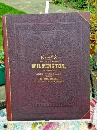
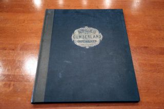
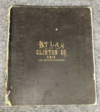
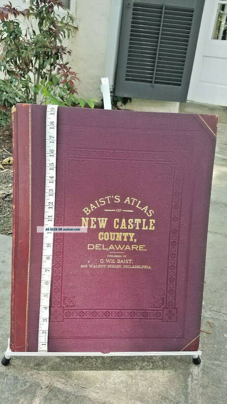
1893 GWM Baist Antique Large Atlas Of Castle County Delaware


Item History & Price

Information:
Reference Number: Avaluer:42688Cartographer/Publisher: G. WM. Baist
Year: 1893Original/Reproduction: Antique Original
US State: DelawareFormat: 19.5 X 15"
City: new castle countyType: Atlas/maps
Original Description:
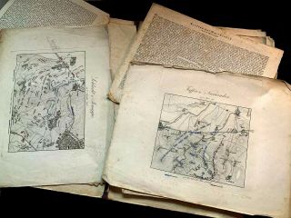
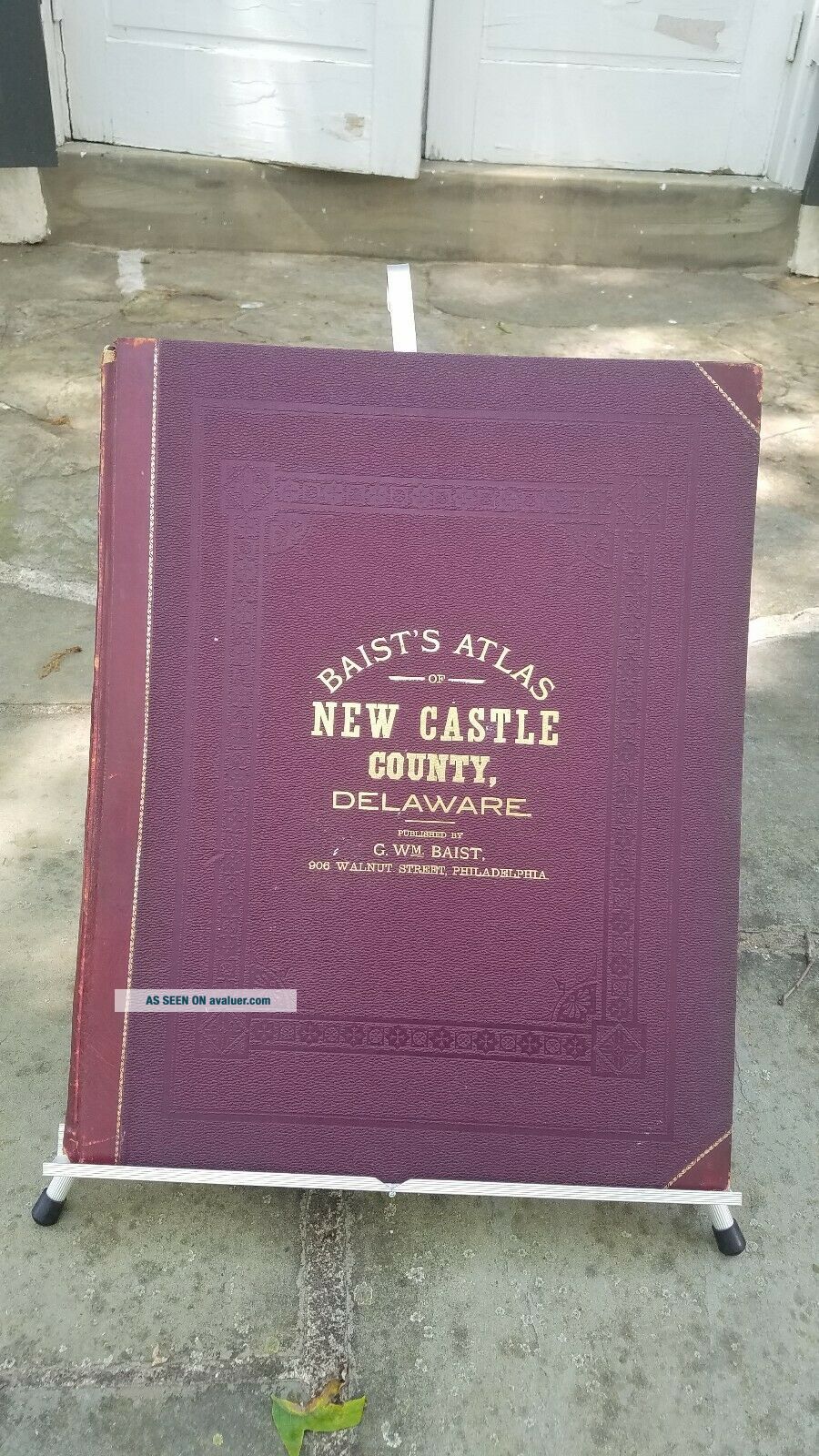
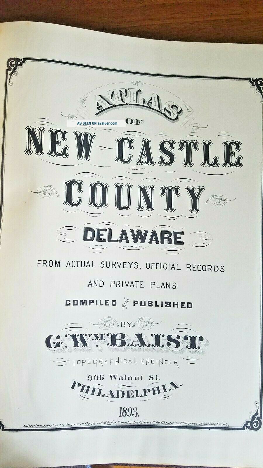
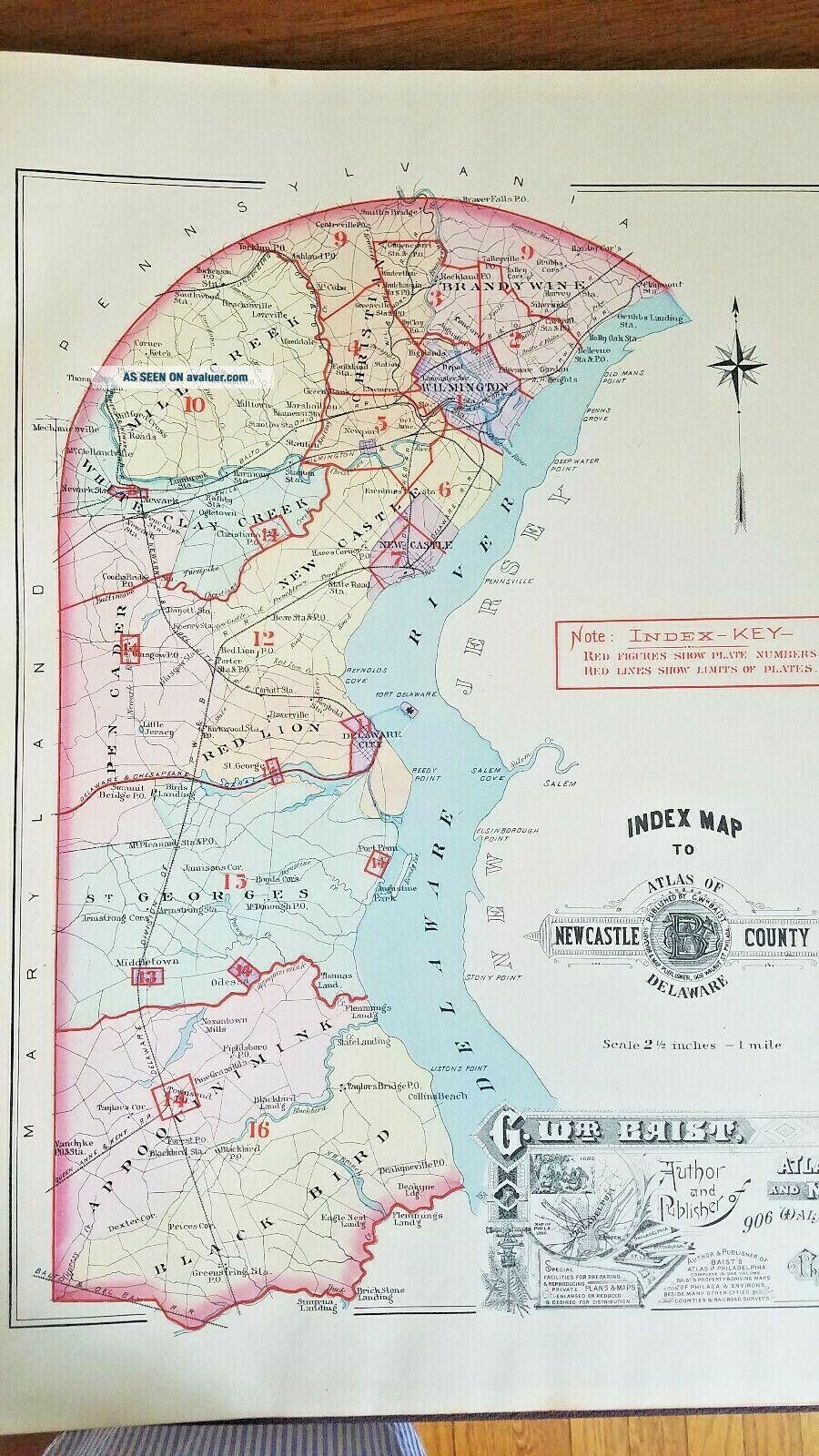
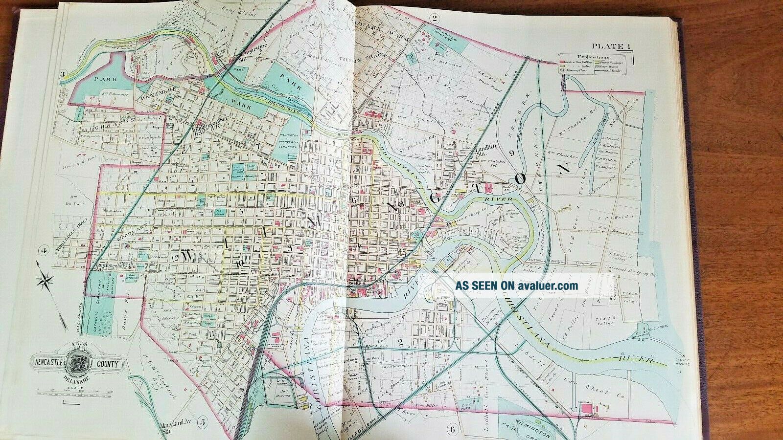
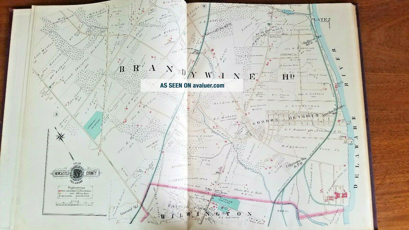
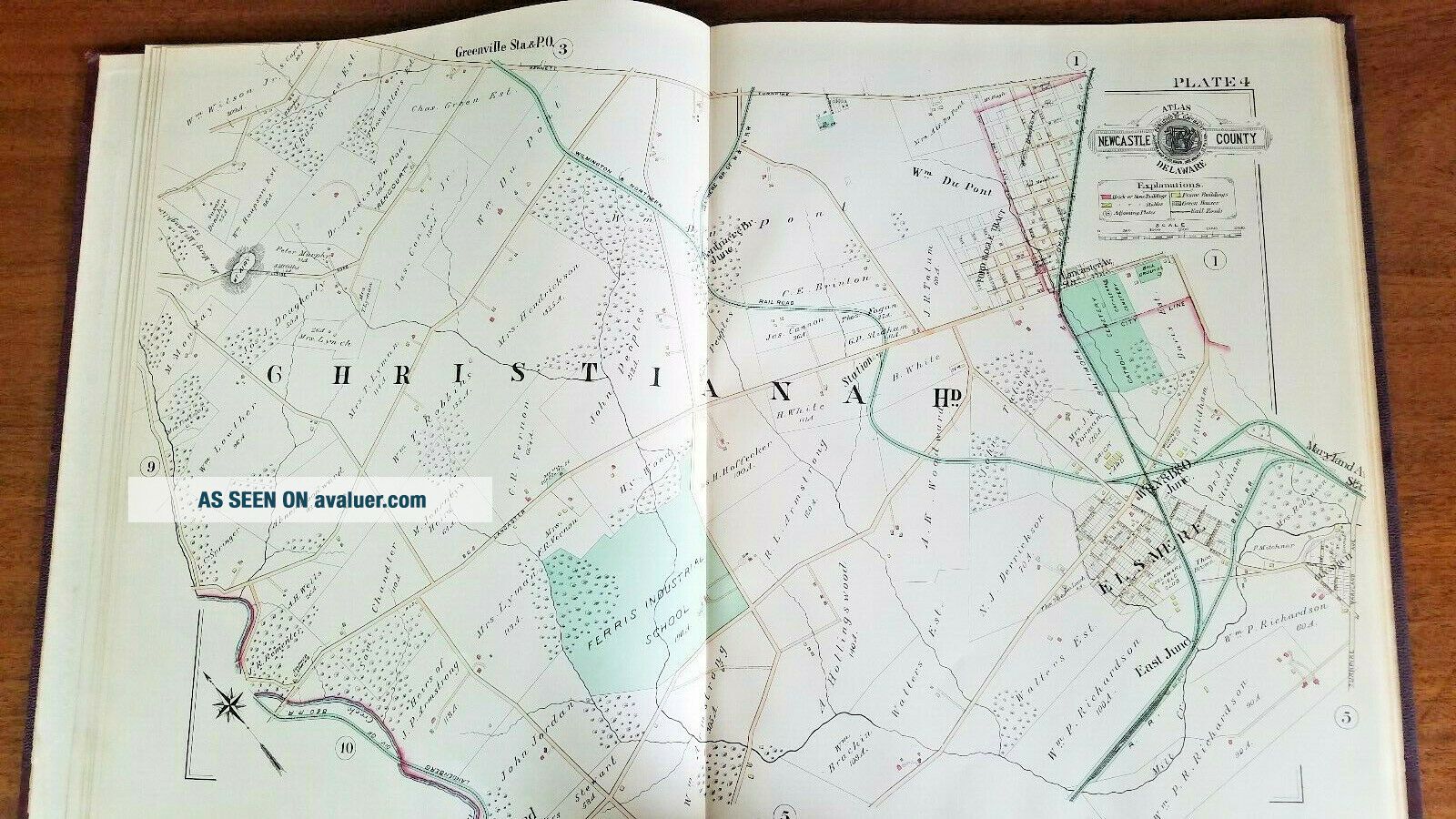
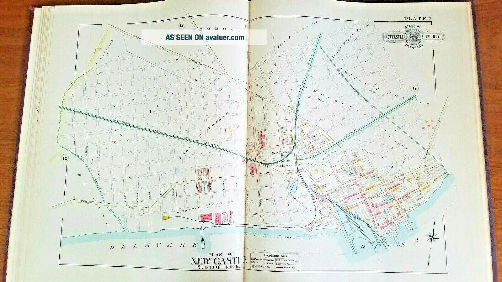
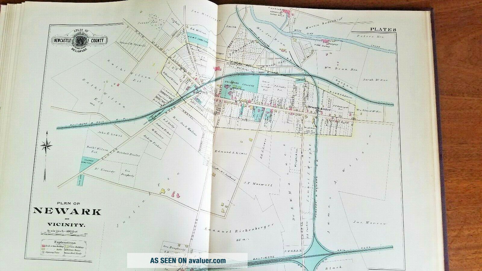
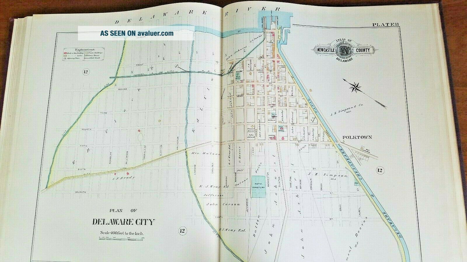
Atlas of New Castle county, Delaware.Published by G. WM. BaistNo. 906 Walnut Street, PhiladelphiaTopographical engineer1893This atlas of New Castle County Delaware includes 16 plates.Please see pictures, I am not an antiquarian book expert.Condition:Condition is good. The plates are in good condition and pages pretty strong and tight.Some shelf wear, essentially on the spine and corners.
A little yellowing of the pages but overall great condition. sales are final, don't hesitate to ...ask me any questions prior to bidding, I will be happy to answer them to the best of my capability.Thanks for looking!


    Similar items


  • 1887 Gw Baist Antique Large Atlas Of The City Of Wilmington Delaware & Vicinity

    1887 Gw Baist Antique Large Atlas Of The City Of Wilmington Delaware & Vicinity

  • 1893 Rand Mcnally & Co Universal Atlas Of The World Antique Maps Civil War Era

    1893 Rand Mcnally & Co Universal Atlas Of The World Antique Maps Civil War Era

  • Large Atlas Of Keokuk County Iowa,  Maps,  Advertising 1931

    Large Atlas Of Keokuk County Iowa, Maps, Advertising 1931

  • 1885 Large

    1885 Large ' Atlas Of The City Of Binghamton ' G. M. Hopkins / Complete & Exc

  • 1872 Rare Antique Beers Atlas Of Cumberland County - Pennsylvania - Maps

    1872 Rare Antique Beers Atlas Of Cumberland County - Pennsylvania - Maps

  • Antique 1876 Atlas Of Clinton County Ohio Lake Griffing & Stevenson

    Antique 1876 Atlas Of Clinton County Ohio Lake Griffing & Stevenson

  • Ancient Egyptian Antiques Large Statue Of Ramses Ii Hand Carved Egypt Stone Bc

    Ancient Egyptian Antiques Large Statue Of Ramses Ii Hand Carved Egypt Stone Bc

  • Antique Map Atlas Of European Battles 1600 - 1800s

    Antique Map Atlas Of European Battles 1600 - 1800s


    • You might also like


    • 1860 Mitchell Hand Colored Map Colorado,  Nebraska & Kansas - Civil War Era

      1860 Mitchell Hand Colored Map Colorado, Nebraska & Kansas - Civil War Era

    • 18th Century French Map Of North America

      18th Century French Map Of North America

    • Las Vegas Nevada Vintage 1967 Us Geological Survey Quadrangle Map 4 Panels

      Las Vegas Nevada Vintage 1967 Us Geological Survey Quadrangle Map 4 Panels

    • Rare Antique 1845 Maps United States Exploring Expedition Book Antartica Hawaii

      Rare Antique 1845 Maps United States Exploring Expedition Book Antartica Hawaii

    • Vintage 1926 Map Hollywood From The Best Surveys Of The Time

      Vintage 1926 Map Hollywood From The Best Surveys Of The Time

    • American Continent (western Hemisphere) 1747 Bowen Antique Copper Engraved Map

      American Continent (western Hemisphere) 1747 Bowen Antique Copper Engraved Map

    • Gulf Coast Florida Texas United States 1705 De Fer Unusual Antique Engraved Map

      Gulf Coast Florida Texas United States 1705 De Fer Unusual Antique Engraved Map

    • California As Island United States 1700 De Fer Unusual First Edition Antique Map

      California As Island United States 1700 De Fer Unusual First Edition Antique Map

Avaluer          About Us          Privacy Policy          Contact Us          UP
© 2022, avaluer.net, Inc. or its affiliates