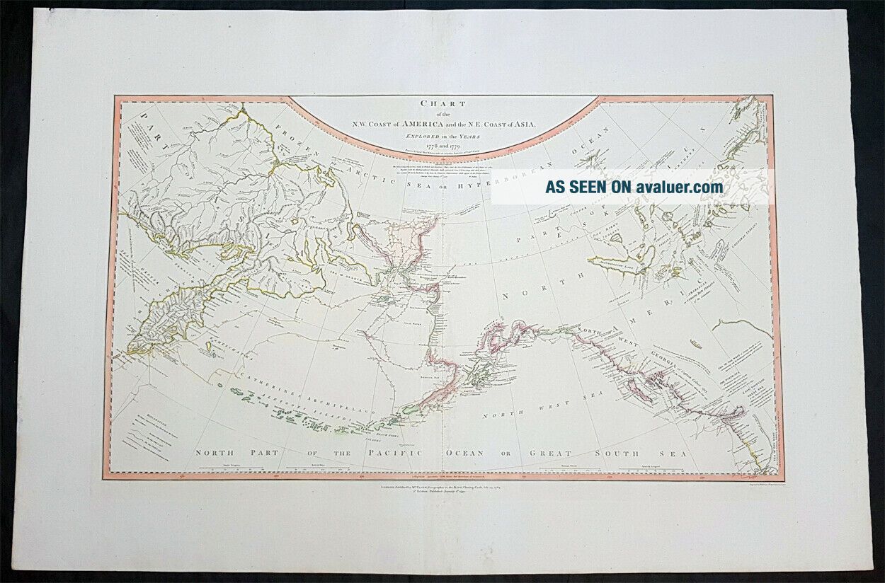
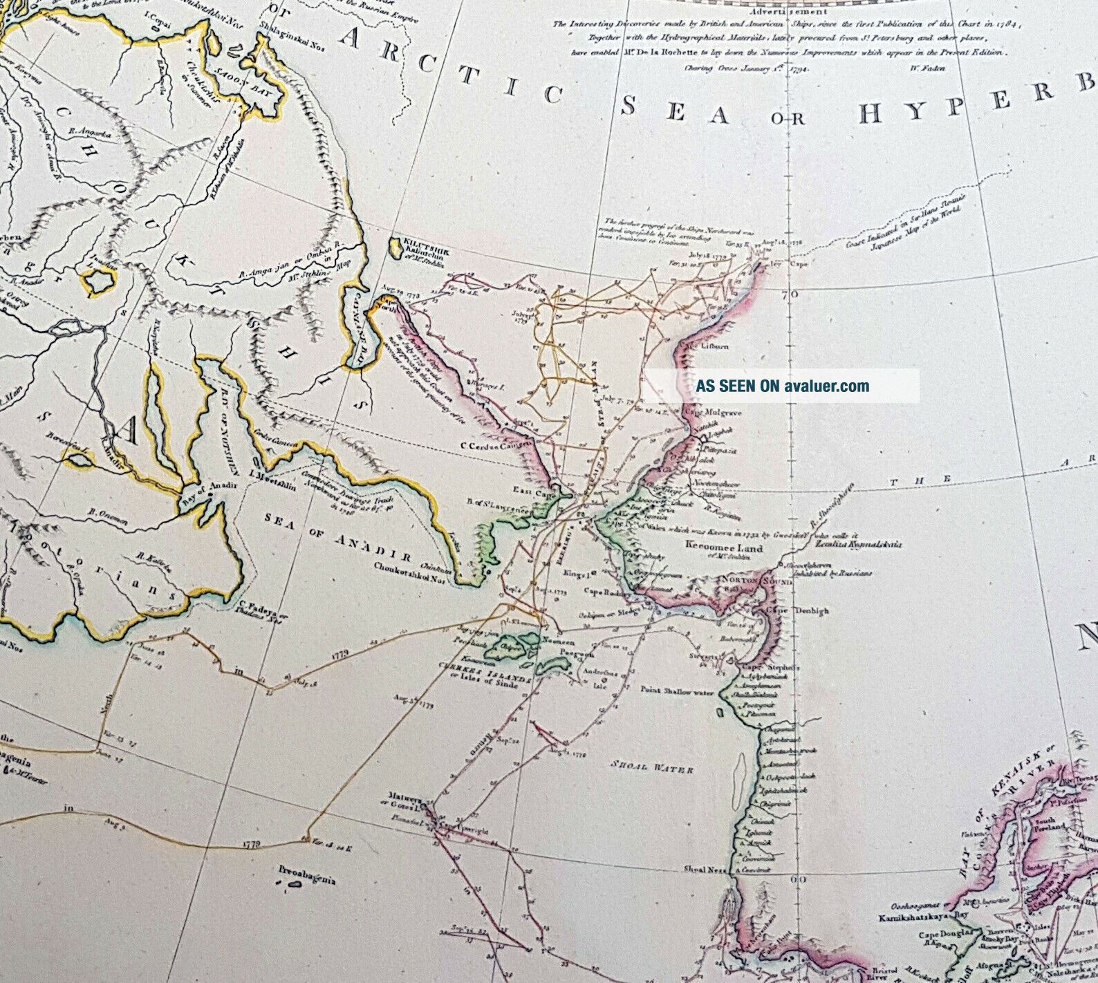
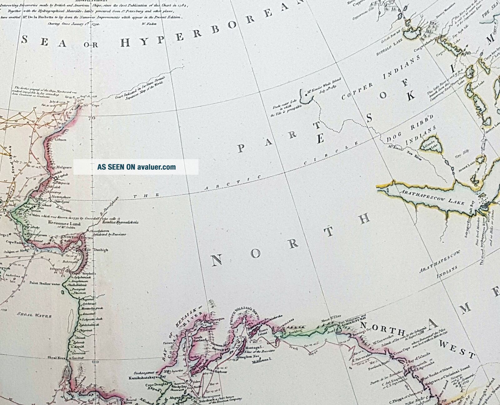
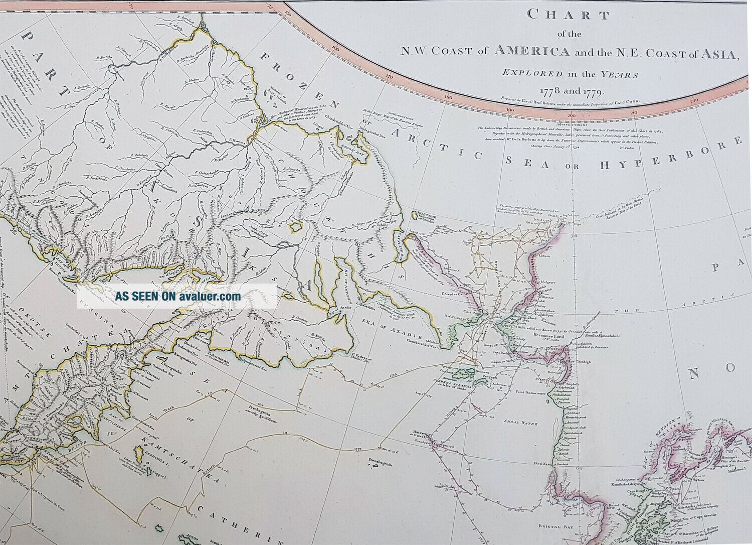
1794 W. Faden Large Rare Antique Map NW America. Alaska, Canada, Bering Straits
Item History & Price
| Reference Number: Avaluer:41501 |
contact us ebay profile ebay store

| Reference Number: Avaluer:41501 |
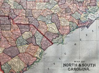
Authentic 1889 Color Map Michigan & North & South Carolina 2 - Sided Large Rare
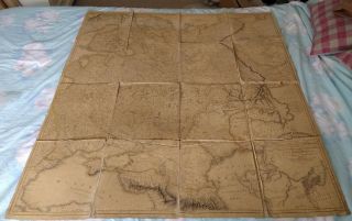
Antique Map - The Russian Dominions In Europe 1806 Printed By W. Faden 1808 Linen
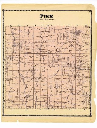
1879 Pike Map From Atlas Of Clarke County Ohio W/family Names - Rare
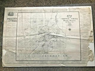
1893 Cripple Creek Mining District Colorado - Large & Rare
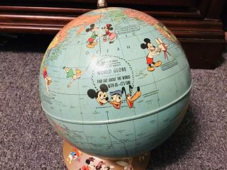
Vtg 1950 Rand Mcnally Walt Disney World Globe W/disney Characters Rare
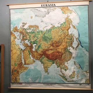
Vintage Rare Large Wall School Map Eurasia Printed In W Germany India Saigon
Large Rare Antique French Map Of China And Asia (orientale De L ' Asie) - C1764
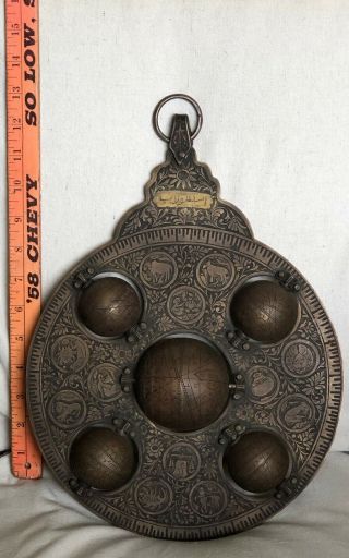
Astrological Islamic Brass Astrolabe W/ 5 Celestial Globes India Circa 19c Rare

1860 Mitchell Hand Colored Map Colorado, Nebraska & Kansas - Civil War Era

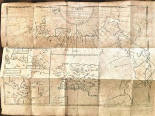
18th Century French Map Of North America

Las Vegas Nevada Vintage 1967 Us Geological Survey Quadrangle Map 4 Panels

Rare Antique 1845 Maps United States Exploring Expedition Book Antartica Hawaii

Vintage 1926 Map Hollywood From The Best Surveys Of The Time

American Continent (western Hemisphere) 1747 Bowen Antique Copper Engraved Map

California As Island United States 1700 De Fer Unusual First Edition Antique Map

Gulf Coast Florida Texas United States 1705 De Fer Unusual Antique Engraved Map