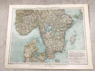
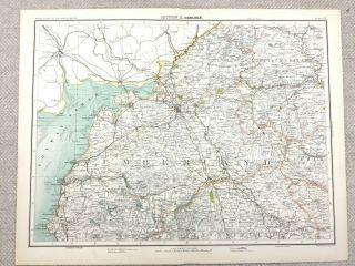
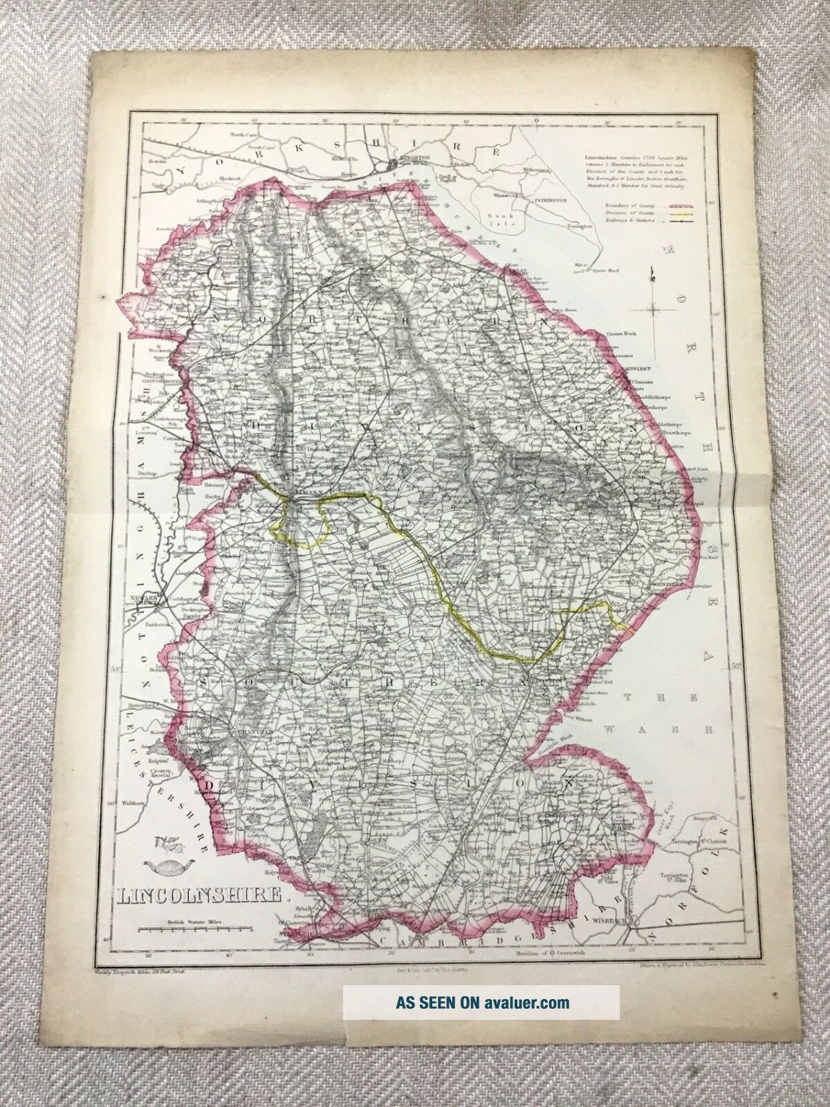
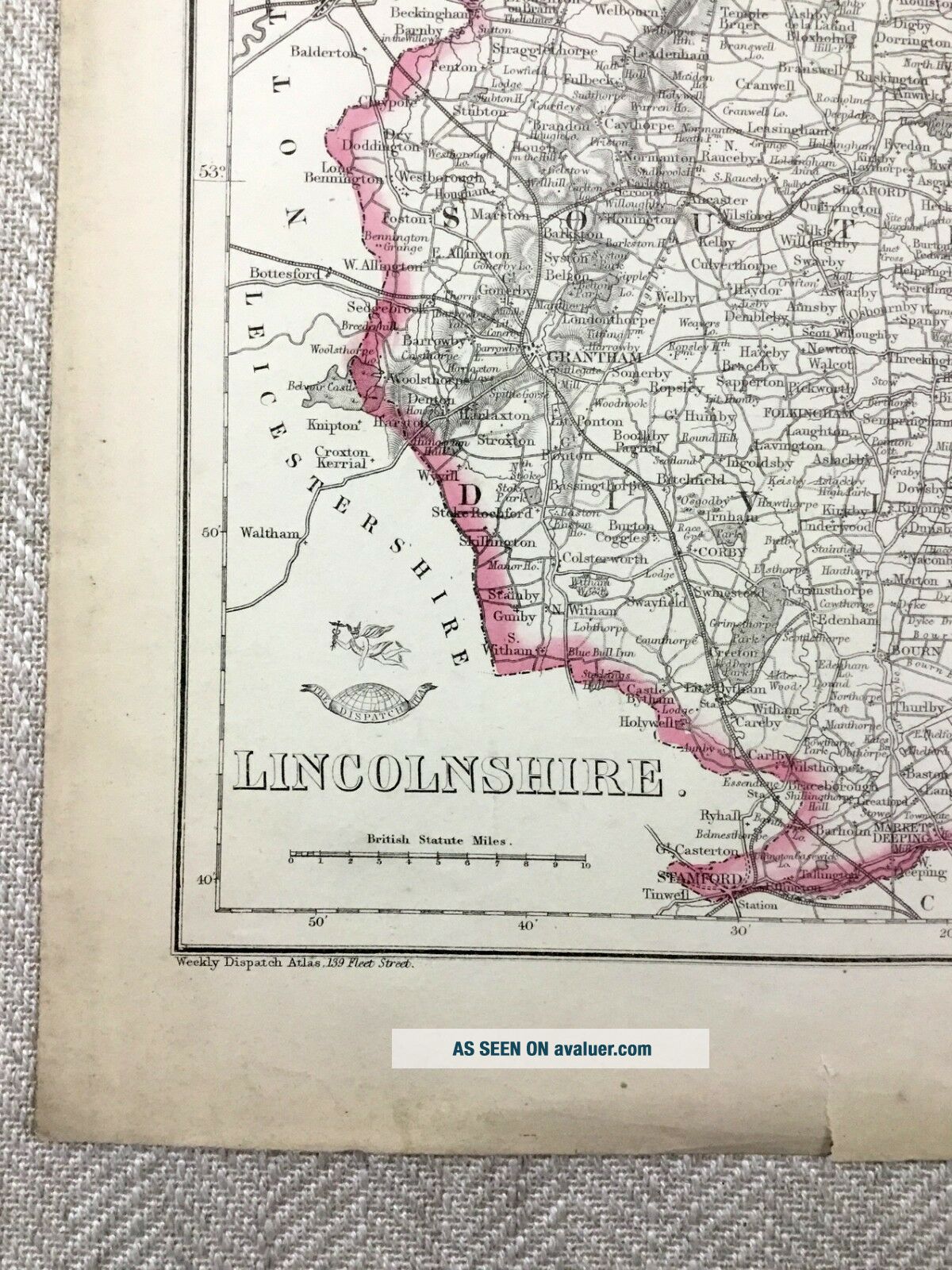
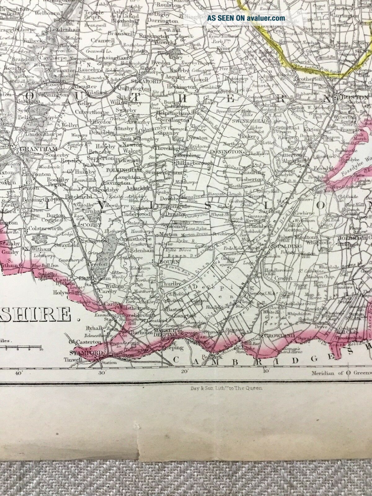
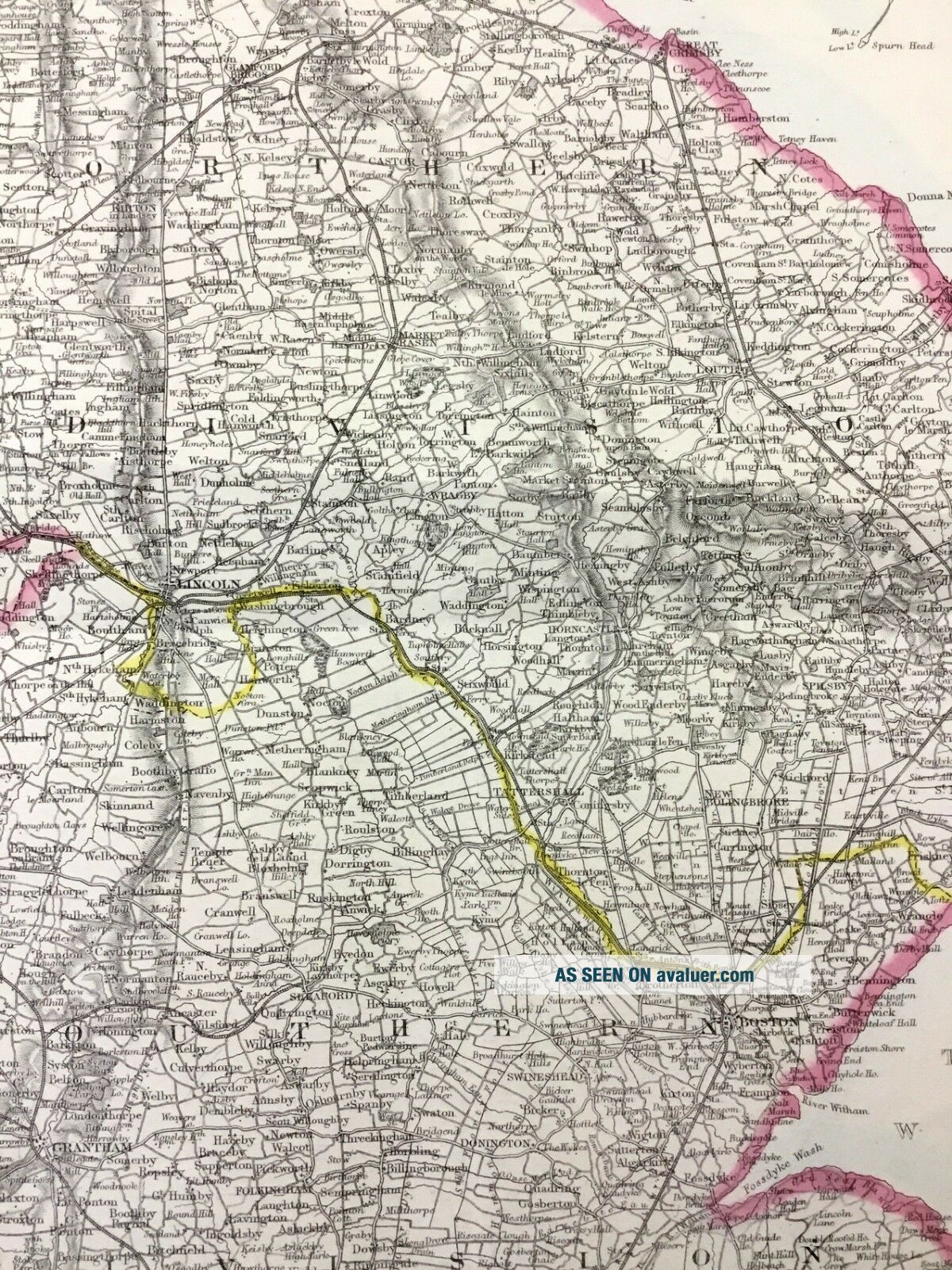
Antique Map Of Lincolnshire Lincoln County 19th Century Hand Coloured

Item History & Price
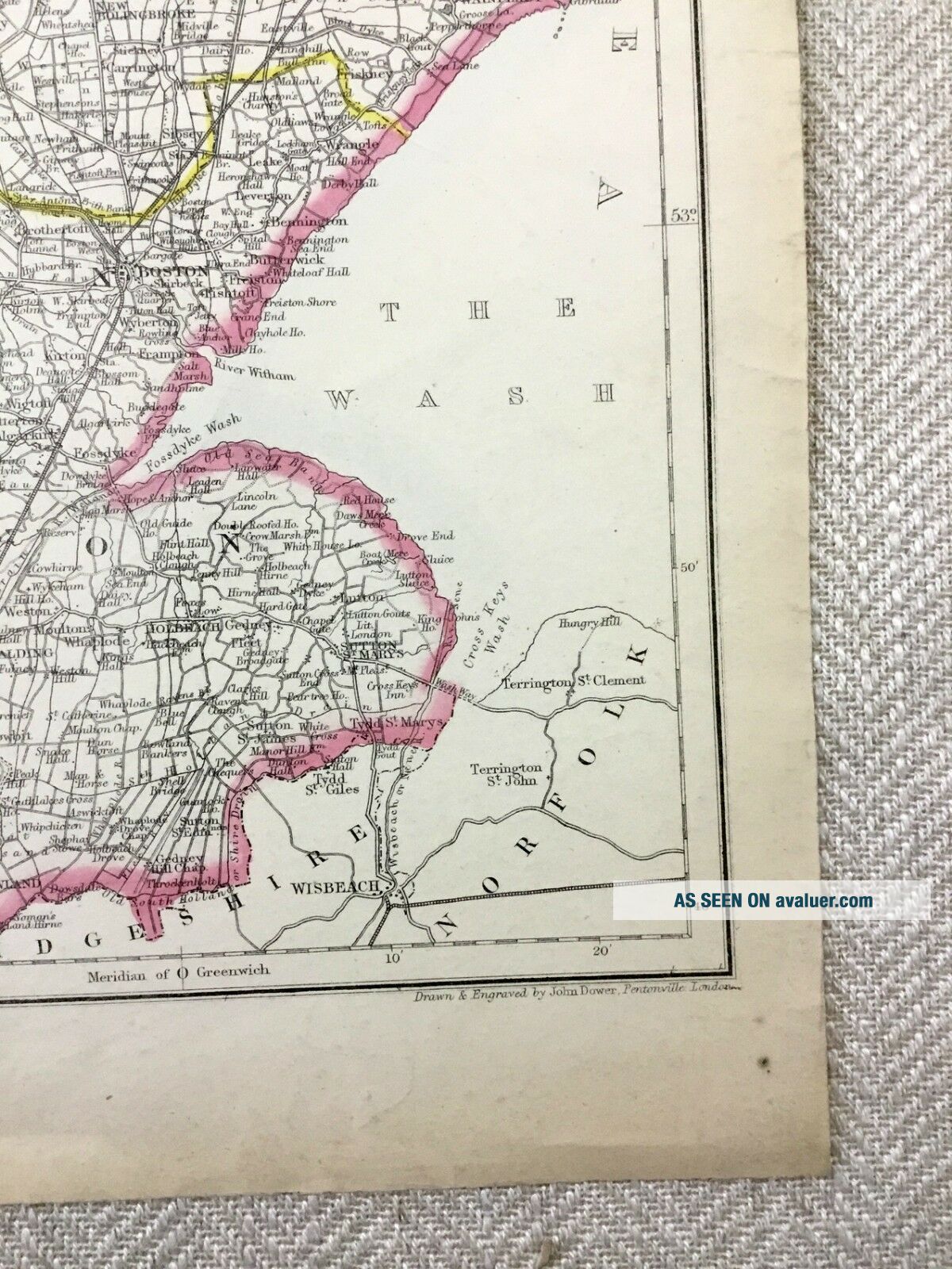
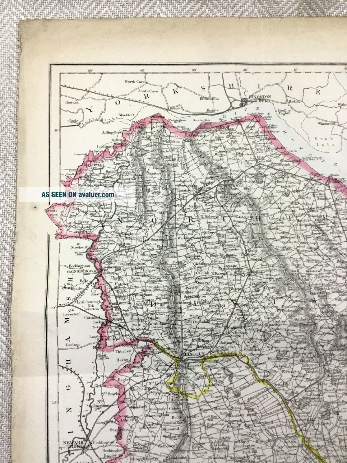
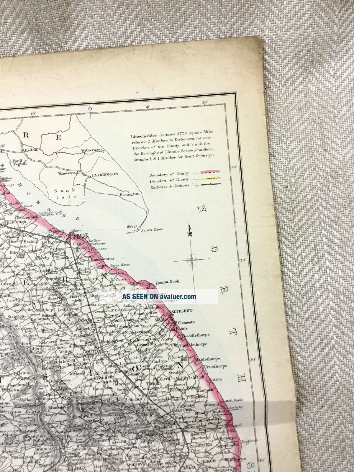
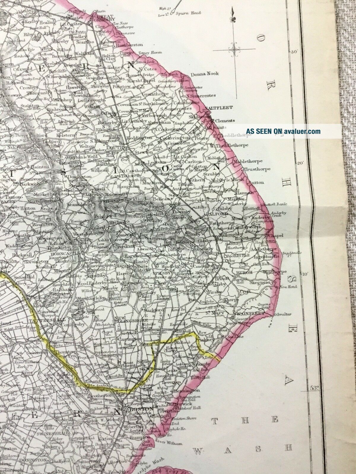
Original Antique Map Circa 1850s - Lincolnshire DATE PRINTED: 1857 - 1863
MAP SIZE WHEN UNFOLDED: Approx 50cm x 35cm, 19.5 x 14 inches
TYPE: Antique map with original outline colour
CONDITION: Good; suitable for framing This map was coloured by hand at the time of publication. Given the fact this map is over 160 years old, there are Signs of age marks yellowing and potential marks / spots / stains / foxing. Minor tares and crumples to outer edges, Pre f...olded and creased, Please review the outer edges, as this is where most of signs of age appear. You will receive the item pictured, so the pictures are integral to the condition report and listing. Please check the pictures for any blemishes prior to making your purchase. Virtually all antiquarian maps and prints are subject to some normal aging due to use and time. As the map is prefolded, all maps are shipped folded and flat for safe secure shipping. No date on the map, however this was part of the supplement of the Weekly dispatch paper in 1857 / 58.
AUTHENTICITY: This is an authentic historic map, published at the date stated above. It is not a modern copy.
VERSO: There is nothing printed on the reverse side, which is plain
ARTIST/CARTOGRAPHER/ENGRAVER: John Dower Published by Day & Son.
PROVENANCE: The Weekly Dispatch Atlas, London, 1850s / 60s