1889 CHARLES BOOTH, DESCRIPTIVE MAP Of LONDON POVERTY, NORTHERN SHEETS X2, KEY
Item History & Price
| Reference Number: Avaluer:35623 | Cartographer/Publisher: Stanford |
| Original/Reproduction: Antique Original | Date Range: 1800-1899 |
| Year: 1889 | Era: 1800s |
| Printing Technique: Lithography | Format: Folding Map |
1889 CHARLES BOOTH, DESCRIPTIVE MAP of LONDON POVERTY, NORTHERN SHEETS x2 + KEY 1889 CHARLES BOOTH, DESCRIPTIVE MAP of LONDON POVERTY, NORTHERN SHEETS x2 + KEY ... Click images to enlarge Description Descriptive Map of London Poverty 1889
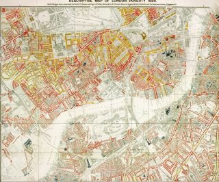
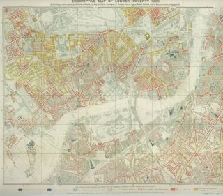
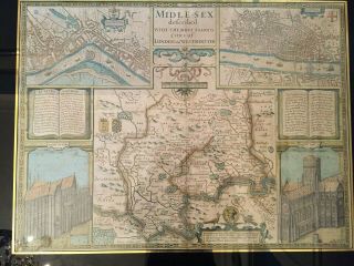
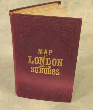
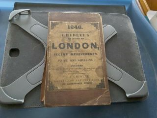
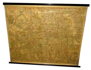
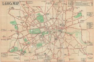
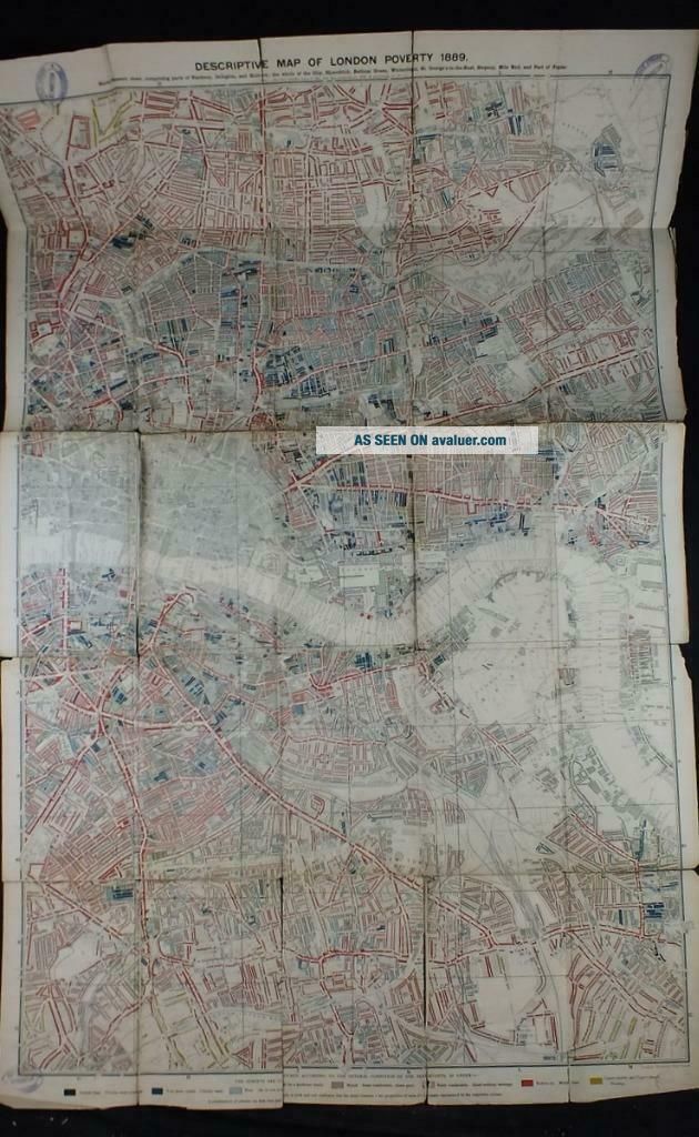
By Charles BoothLondonWilliams & Norgate1891Selling here are components of Charles Booth's famous Poverty Map of London, one of the earliest examples of social cartography, based on Stanford's 'Library Map of London'. In extraordinary detail, Booth's survey classifies each street by a colour code; 'the Lowest Class. Vicious, semi-criminal', 'Very Poor, Casual, Chronic Want', ascending through seven orders culminating with 'Upper-Middle and Upper Classes, Wealthy'. Booth is perhaps best remembered for establishing 'The Salvation Army'. This present lot comprises the two Northern sections and the Key Map (lacking the two Southern sections that would form the complete map of the Capital), housed in an octavo volume, bound up as often with the appendix to volume II of 'Labour and Life of the People', published by Williams and Norgate in 1891. This text provides fascinating statistical detail to the accompanying maps.
An ex-library copy; the binding of fairly recent library buckram; contents with numerous old library stamps through the text part, the maps themselves with some stamps to face as seen in images and some other marks and labels / crude repair to reverse (please view images provided with care and see condition report below). The volume measures approx 15.5 cm by 22.5cm.The Key Map measures approx 66cm by 89cm. The two Northern sections each measure approx 63cm by 99cm. FOR SALE WITHOUT RESERVE.Please View My Other Items For SaleCondition: Binding firm and in good condition. Textblock firm, in good condition if toned, last leaf chipped to edges and laid down, numerous old ink stamps lower right as seen. The maps are in need of restoration; please view the images carefully as these will provide further clarity as to the condition; Key Map fair if toned, with splits along conjunctions of the folds at points, dent to right edge centre, stamp to all four corners. The two Northern sectionssplit and frayed along many of the folds and with several sections entirely detached, tape repairs to reverse of NE sheet, several sections of NW sheet laid onto recent card, both with old ink stamp to all four corners, several similar stamps and later security tag to reverse of each of the three maps present.
For sale as seen, two Northern sections + Key Map from a valuable and important example of early Social Cartography. This is an original set of three maps and appendix, NOT a reproduction.
Please note, as stated, the two Southern maps are not present.FOR SALE WITHOUT RESERVE.THIS BOOK WEIGHS APPROX 1.5KG PACKED. Please study the pictures carefully and feel free to ask any questions. Payment We accept the following methods of payment: Paypal £ Sterling cheques ONLY, made payable to B Chiari Antiquarian Books Ltd Money/Postal order in £ Sterling Bank transfer Shipping We ship worldwidePostage: We offer free UK domestic postage as per recent ebay guidelines. We continue to recommend the use of tracked services to ensure your piece of mind, as we are unable to provide refunds or tracking on books sent via an unrecorded 1st or 2nd class service within the UK or standard airmail service on items sent abroad. Our recommended services for overseas postage are International Signed for, Airsure (Royal Mail) or Parcelforce (UK couriers): These are all tracked and fully insured. We will ensure that all items sold are packed and distributed securely and professionally. We will respond to any comments or queries as quickly as possible. When possible we always combine postage on multiple items purchased. Prices charged will depend on combined weight and size after being securely packed. Items up to 5kg and a maximum size of 90cms (hxwxd) and no longer than 60cms can be sent via Royal Mail using the Printed Paper service. Items larger and heavier than this have to be sent via courier service. We offer a multi-ship service and can hold items until larger consignments can be sent. This helps reduce postage costs greatly, especially for overseas buyers. If buying more than one item, please allow us to invoice you before paying as we will combine the items to give you the cheapest Royal Mail or international service price. We endeavour to send all packages at or under cost. Terms of Sale We are more than happy to offer a full money back refund if the goods you have purchased are not as described. Customer satisfaction is our priority. About Us At Worthydownbooks we curate a weekly auction of antiquarian and rare books, starting at £4.99 and always without reserve. These auctions generally close on a Thursday night at 19.00 GMT.
Please also view our sister site Worthydownbookstore, where we offer a wide range of collectable books with a Buy It Now option. Contact Us If at any stage of your transaction you would like to contact us please email us via the ebay messaging system.
Get images that
make Supersized seem small.Tailor your auctions with Auctiva's
Listing Templates!
THE simple solution for eBay sellers.
Track Page Views With
Auctiva's FREE Counter