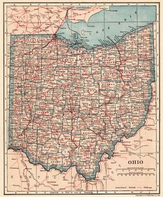
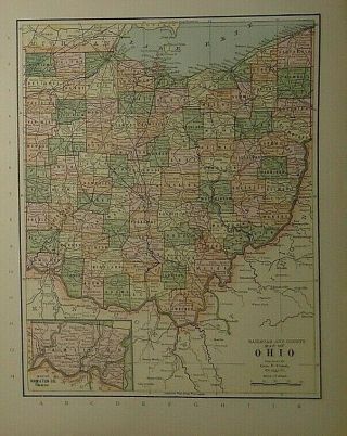
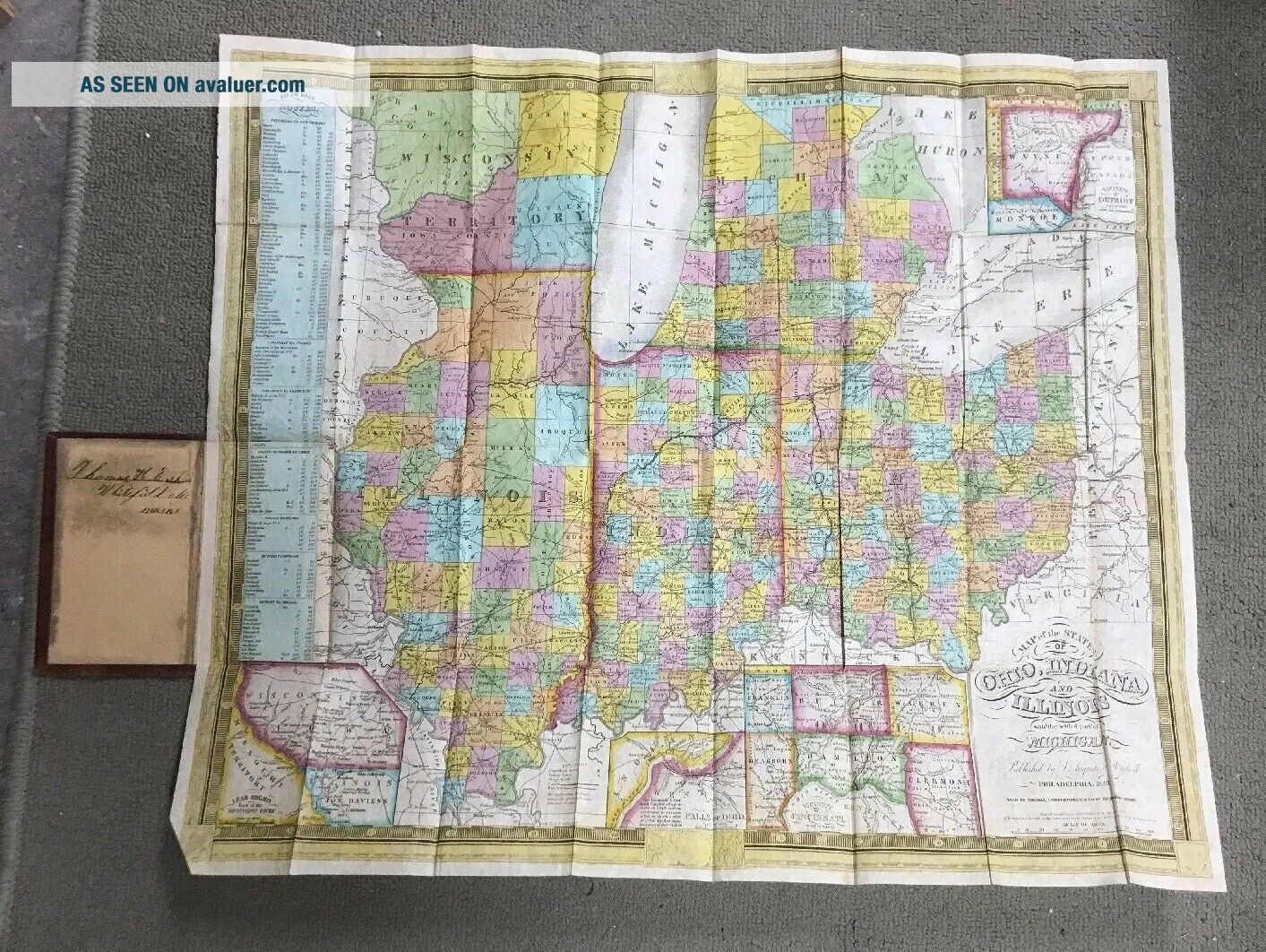
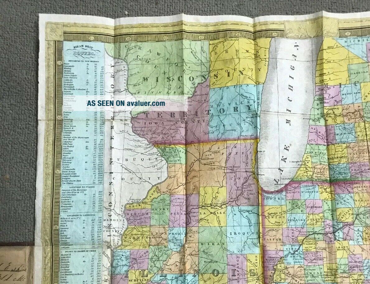
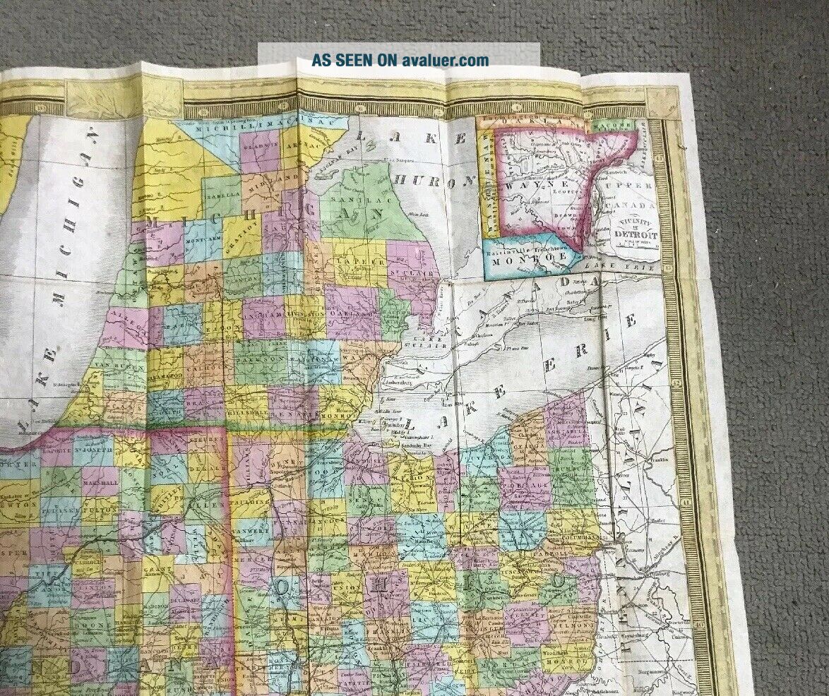
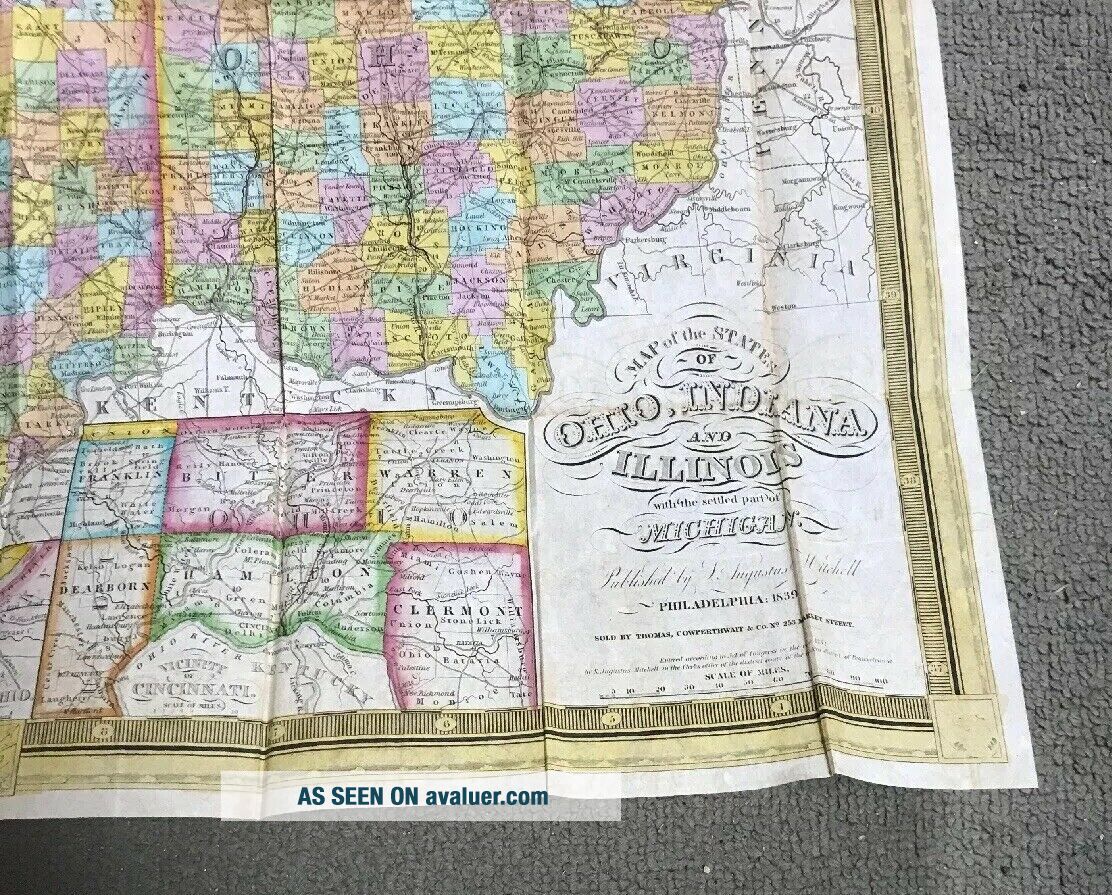
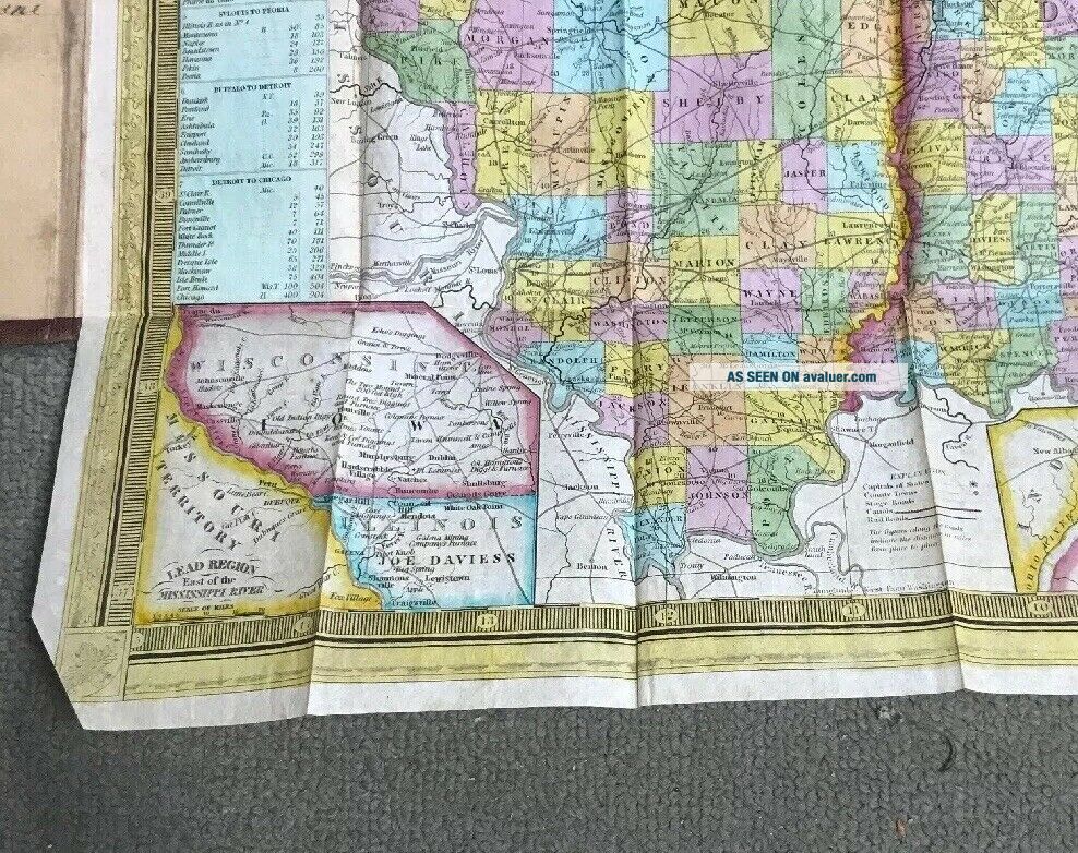
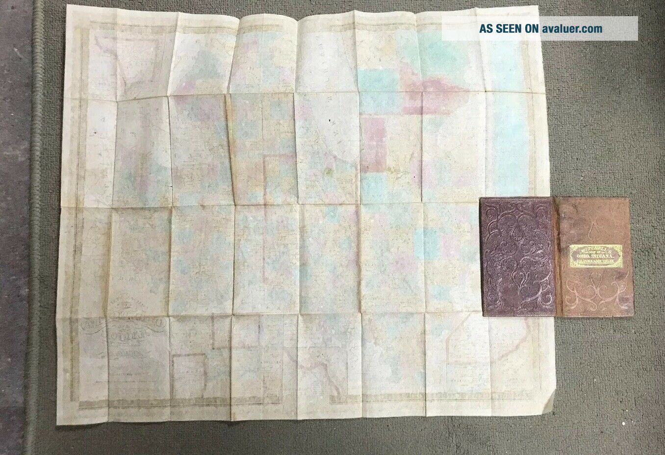
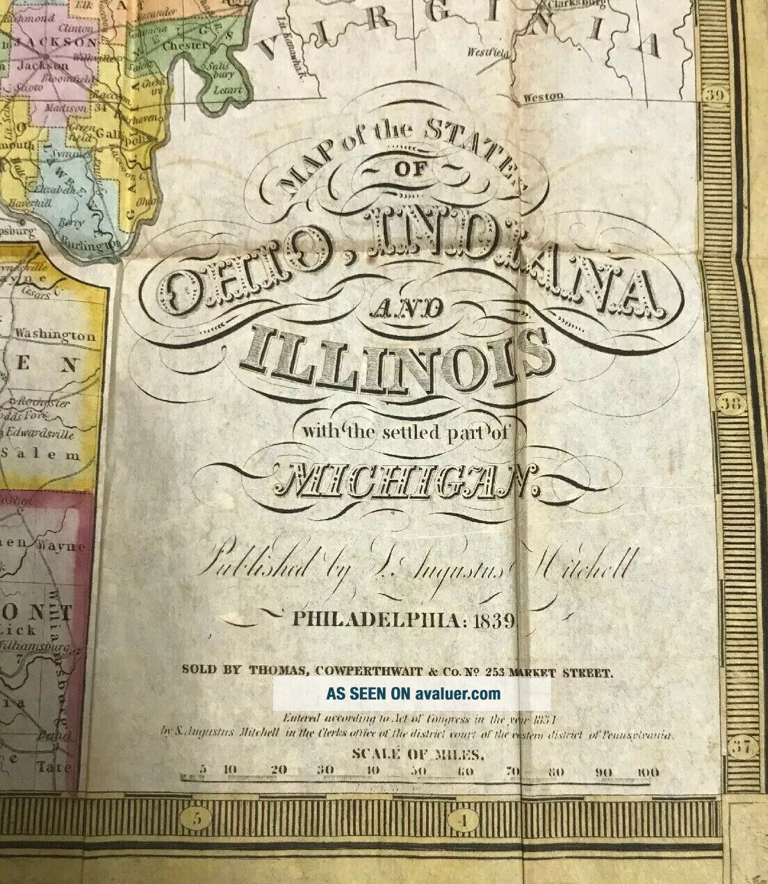
Vintage Pocket Map: 1839 Mitchell’s Map Of Ohio, Indiana, Illinois, & Michigan


Item History & Price
| Reference Number: Avaluer:27956 | Year: 1839 |
| US State: Illinois |
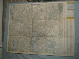
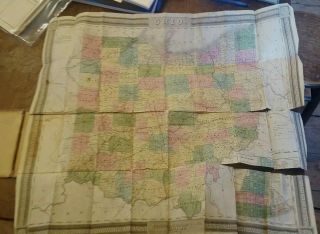
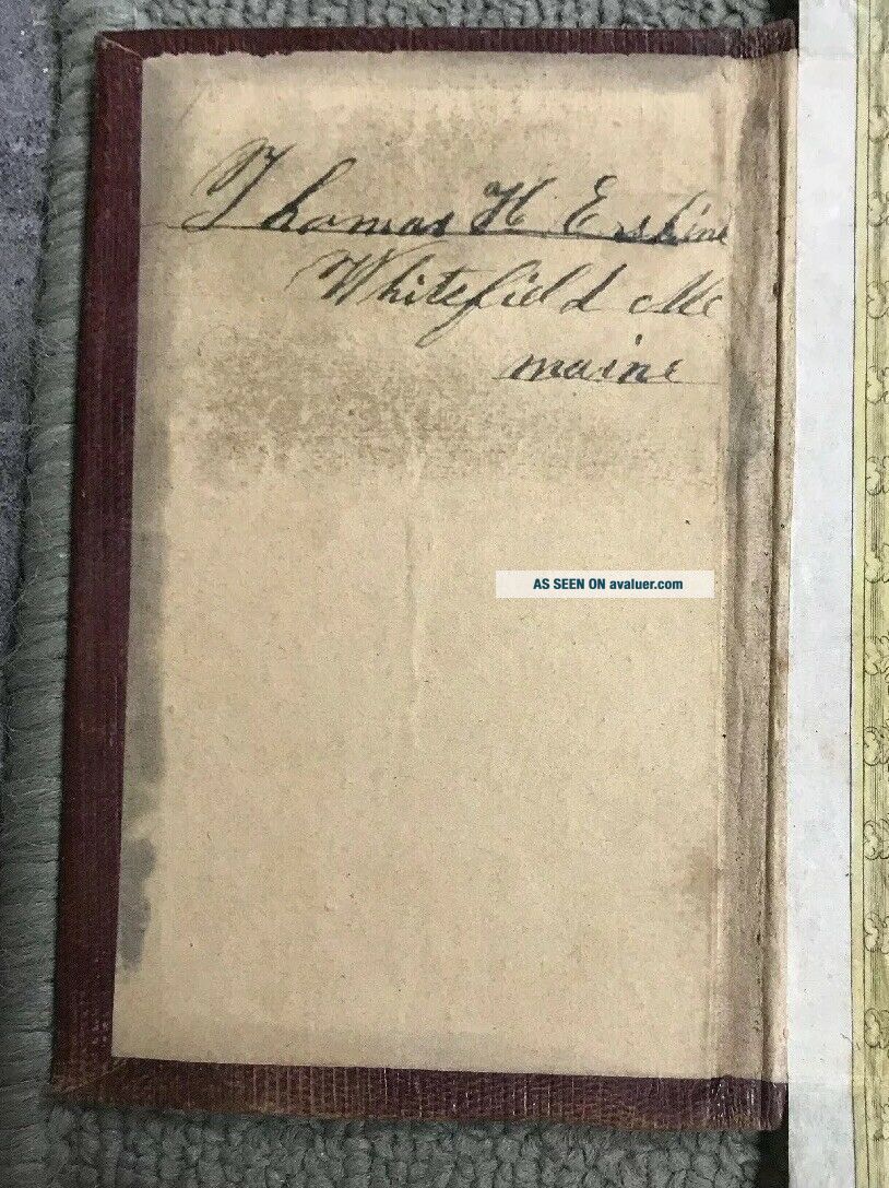
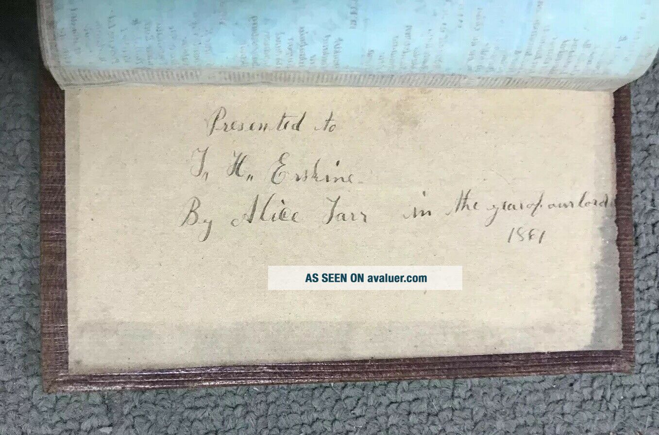
Vintage Pocket Map: 1839 Mitchell’s Map Of Ohio, Indiana, Illinois, & Michigan. Shipped with USPS First Class Package. Very good condition see pictures there is writing in it but no tears.