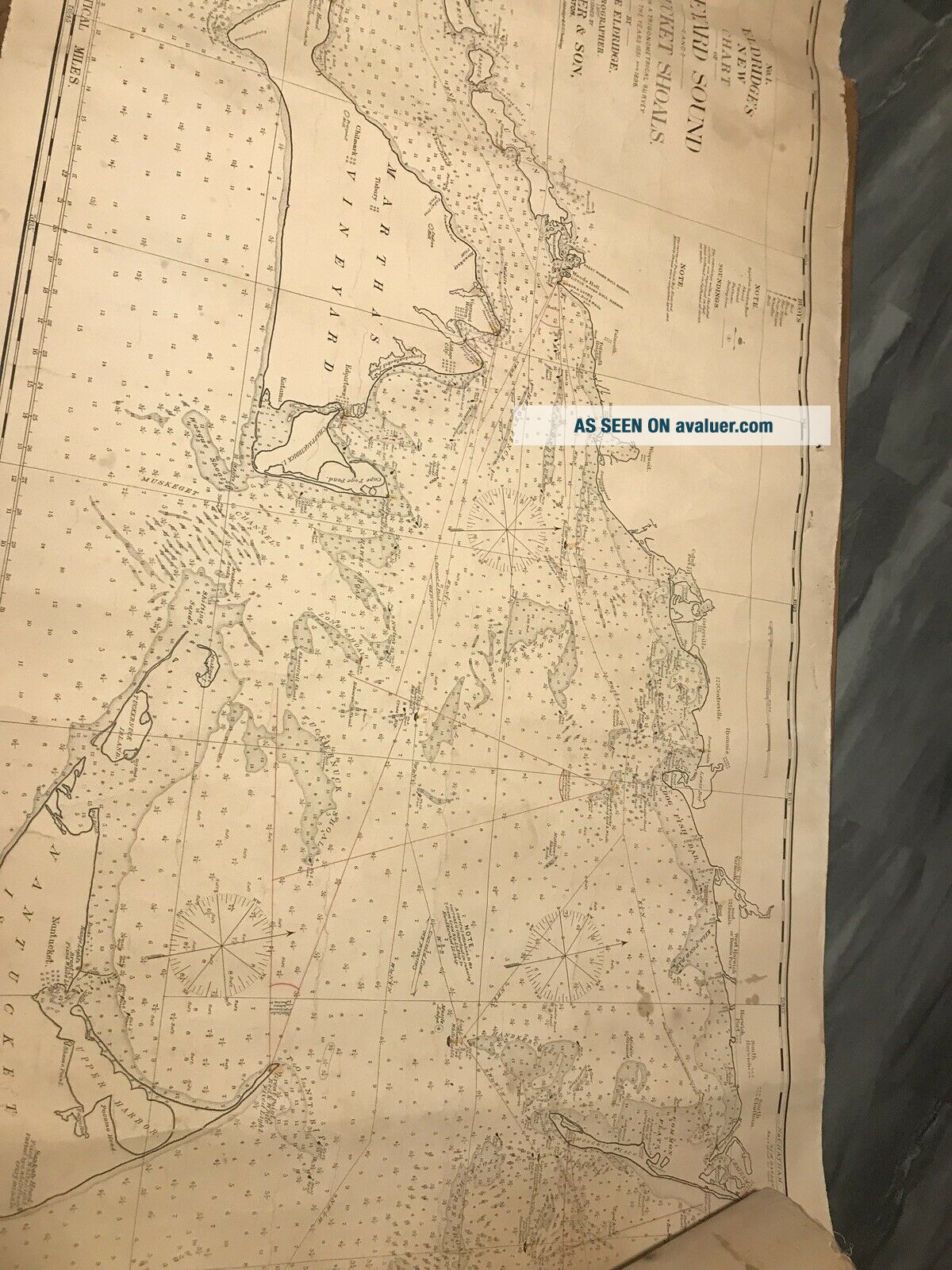
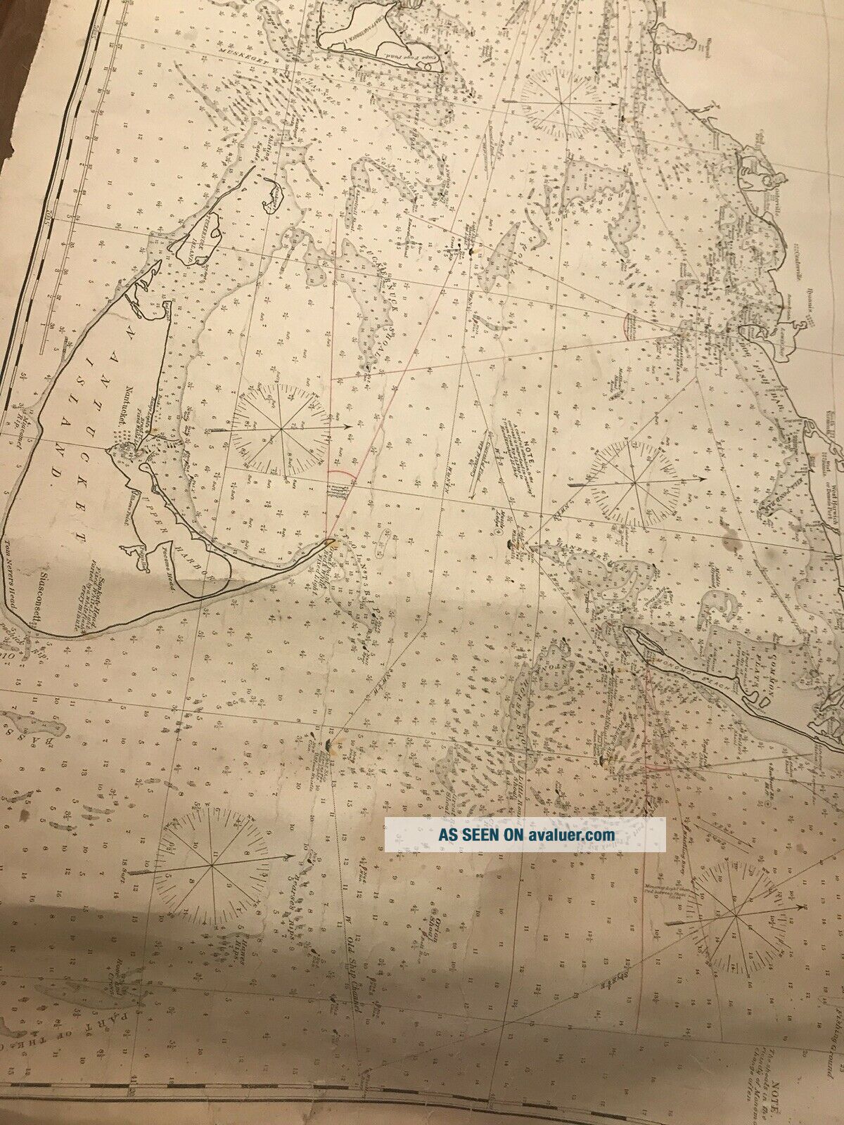
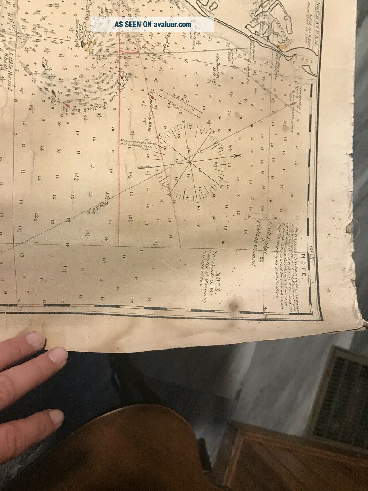
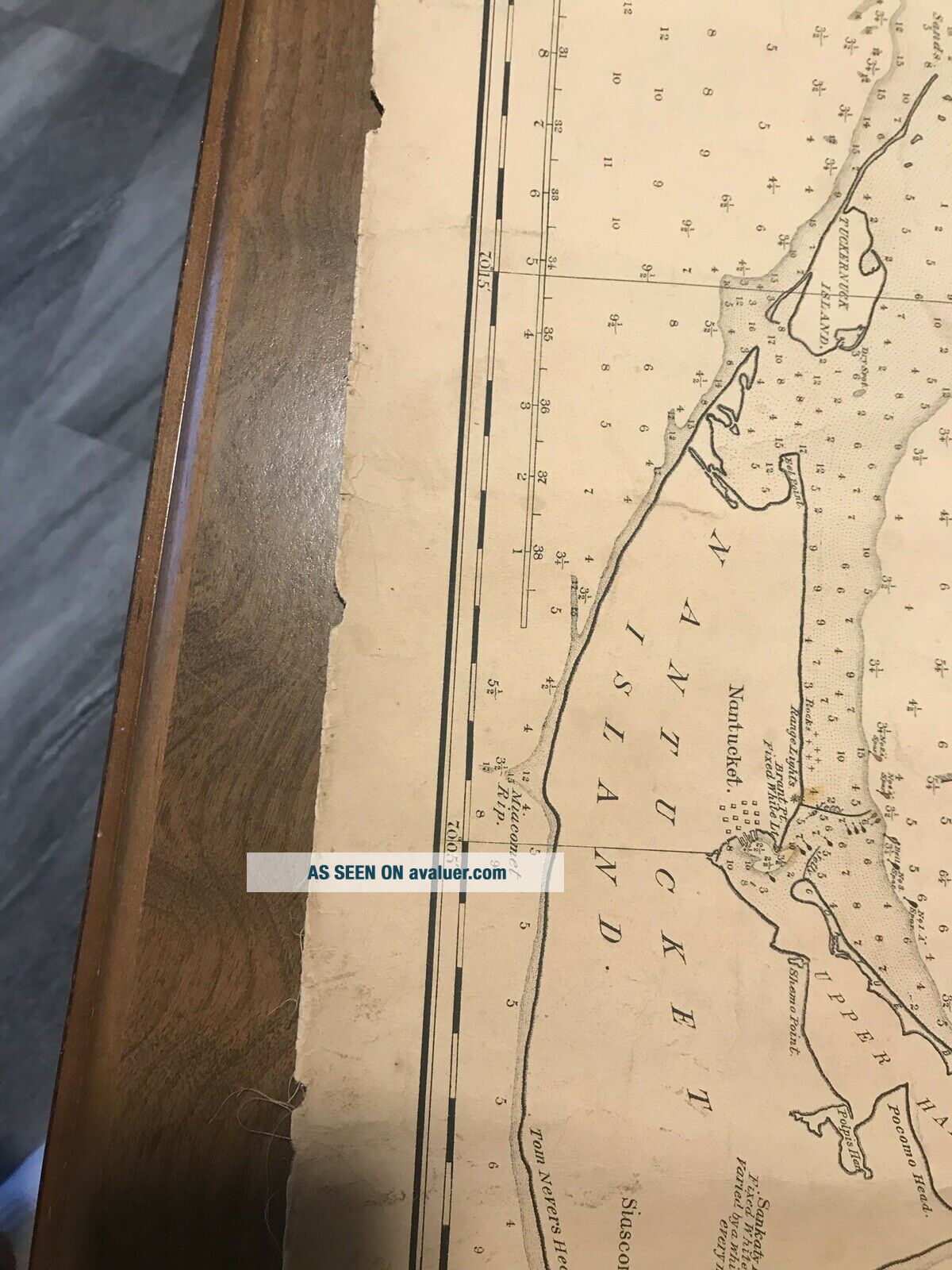
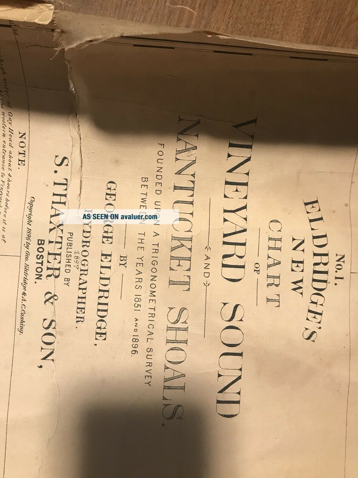
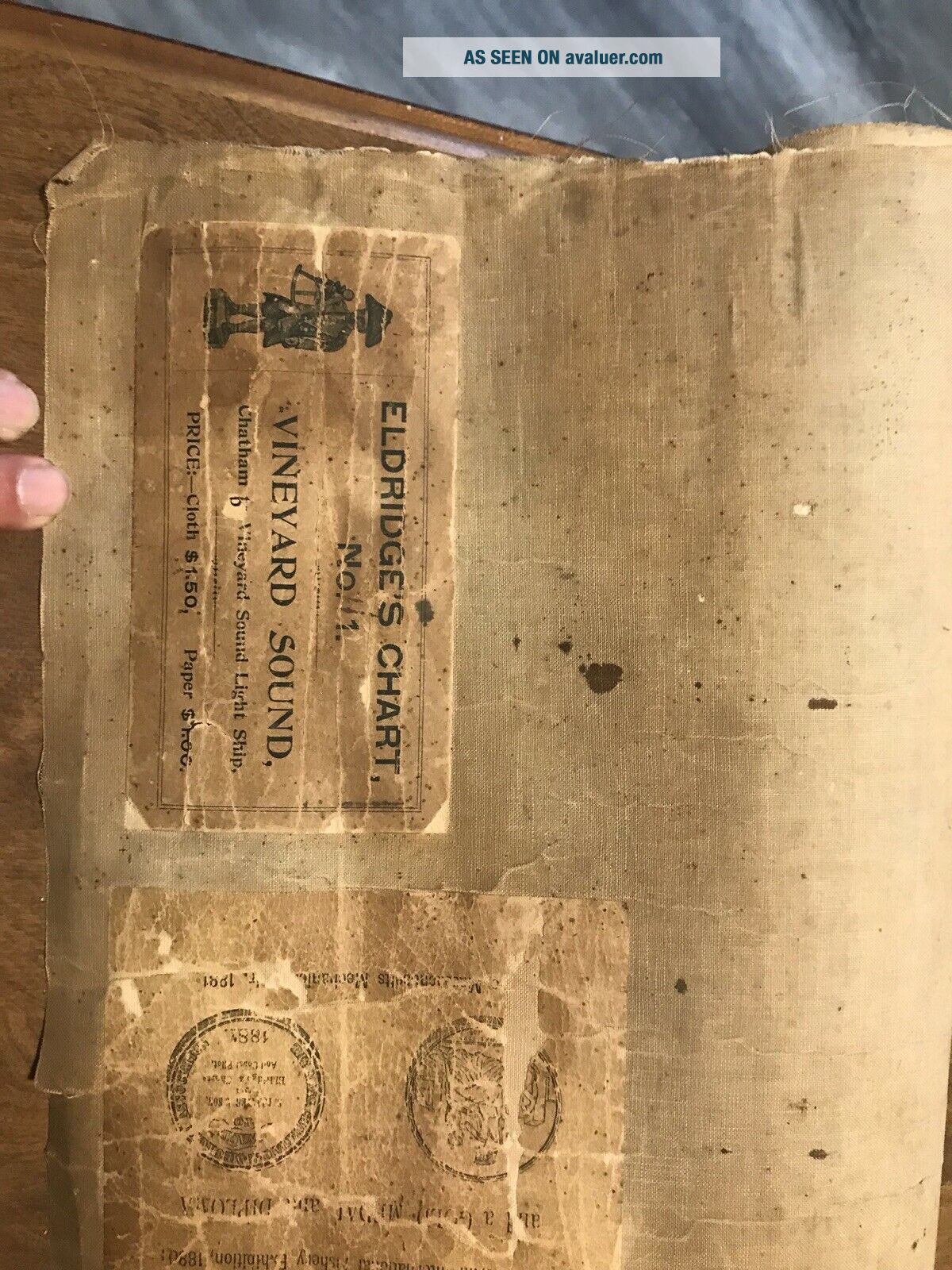
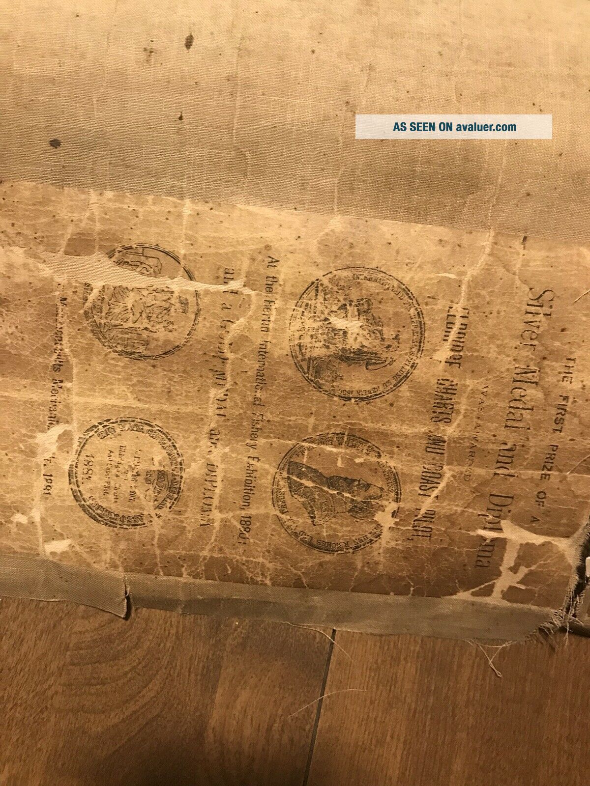
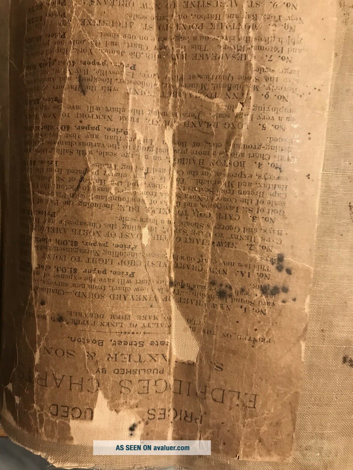
Eldridge ' S Chart No. 1 Vineyard Sound Antique Map On Linen 1897


Item History & Price

Information:
Reference Number: Avaluer:16533Year: 1897
Maker: EldridgeFormat: Wall Map
Original Description:
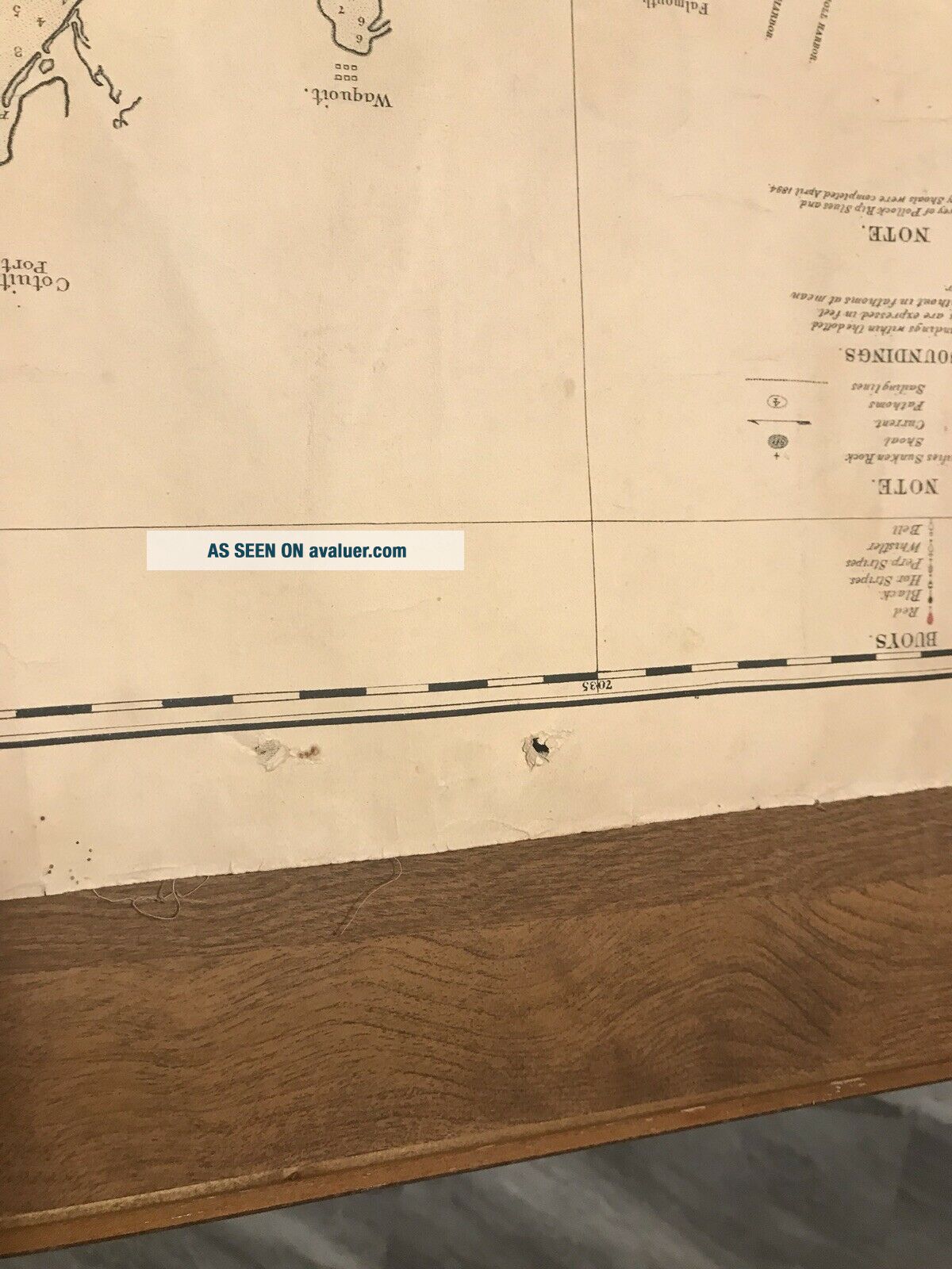
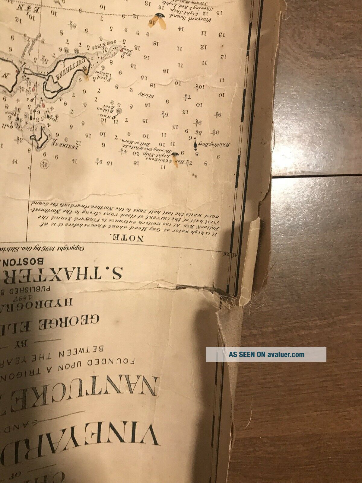
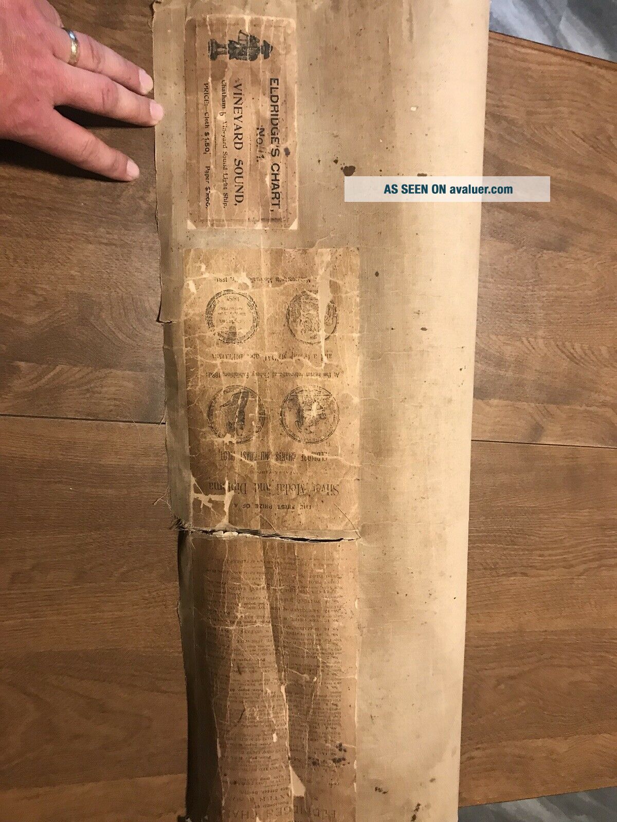
Eldridge's New Chart No. 1 Vineyard Sound and Nantucket Shoals Antique Map on cloth from 1897. Map is rough around edges and has a roughly 6 inch tear in it. The cloth is stained. Tried to take the best photos to show condition. If you need more pictures I can send them.


    Similar items


  • Lrg Ww2 Infantry School Training Chart No.  1 - U.  S.  Rifle Caliber.  30 M1

    Lrg Ww2 Infantry School Training Chart No. 1 - U. S. Rifle Caliber. 30 M1

  • Antique 1890

    Antique 1890 ' S Vanderman No 1 Vise 100 Lb Blacksmith Knife Making Forge Tool

  • Vintage Antique S.  Newhouse No.  1 - 1/2 Animal Steel Trap 1902 Pat Date Oneida

    Vintage Antique S. Newhouse No. 1 - 1/2 Animal Steel Trap 1902 Pat Date Oneida

  • Vintage Traps P S & W No.  1

    Vintage Traps P S & W No. 1

  • Early Spot Lamp Light S&m No.  1 Spot - Lite Vintage Auto Solid Glass 1920s 1930

    Early Spot Lamp Light S&m No. 1 Spot - Lite Vintage Auto Solid Glass 1920s 1930 ' S

  • Vintage Pocket Knife 1920

    Vintage Pocket Knife 1920 ' S Neft No. 1 Safety Knife 5 1/4 In. Closed Rare Knife

  • Vintage 1898 Audubon Chart No.  1 Forbes - Boston Birds Ornithology Print

    Vintage 1898 Audubon Chart No. 1 Forbes - Boston Birds Ornithology Print

  • Pepsi Star Wars Episode 1 Anakin Skywalker Collector

    Pepsi Star Wars Episode 1 Anakin Skywalker Collector ' S Can No. 1 In Acrylic Case


    • You might also like


    • 1860 Mitchell Hand Colored Map Colorado,  Nebraska & Kansas - Civil War Era

      1860 Mitchell Hand Colored Map Colorado, Nebraska & Kansas - Civil War Era

    • 18th Century French Map Of North America

      18th Century French Map Of North America

    • Las Vegas Nevada Vintage 1967 Us Geological Survey Quadrangle Map 4 Panels

      Las Vegas Nevada Vintage 1967 Us Geological Survey Quadrangle Map 4 Panels

    • Rare Antique 1845 Maps United States Exploring Expedition Book Antartica Hawaii

      Rare Antique 1845 Maps United States Exploring Expedition Book Antartica Hawaii

    • Vintage 1926 Map Hollywood From The Best Surveys Of The Time

      Vintage 1926 Map Hollywood From The Best Surveys Of The Time

    • American Continent (western Hemisphere) 1747 Bowen Antique Copper Engraved Map

      American Continent (western Hemisphere) 1747 Bowen Antique Copper Engraved Map

    • Gulf Coast Florida Texas United States 1705 De Fer Unusual Antique Engraved Map

      Gulf Coast Florida Texas United States 1705 De Fer Unusual Antique Engraved Map

    • California As Island United States 1700 De Fer Unusual First Edition Antique Map

      California As Island United States 1700 De Fer Unusual First Edition Antique Map

Avaluer          About Us          Privacy Policy          Contact Us          UP
© 2022, avaluer.net, Inc. or its affiliates