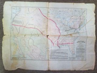
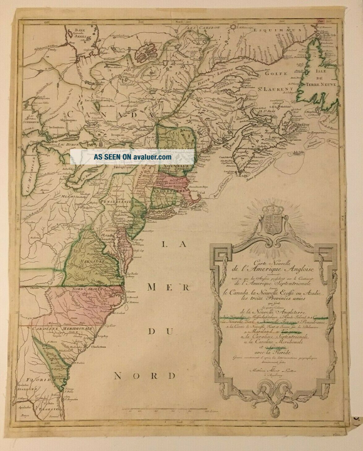
Map Of The Thirteen Colonies By Matthieu Albert Lotter Circa 1776 Engraving
Item History & Price
| Reference Number: Avaluer:13724 | Original/Reproduction: Original |
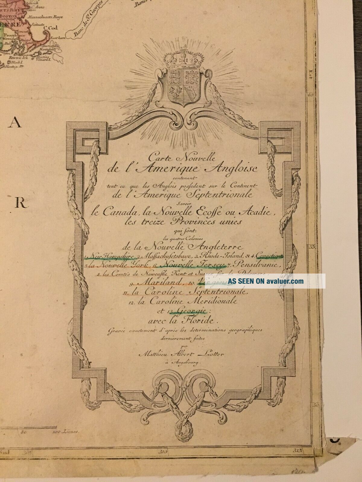
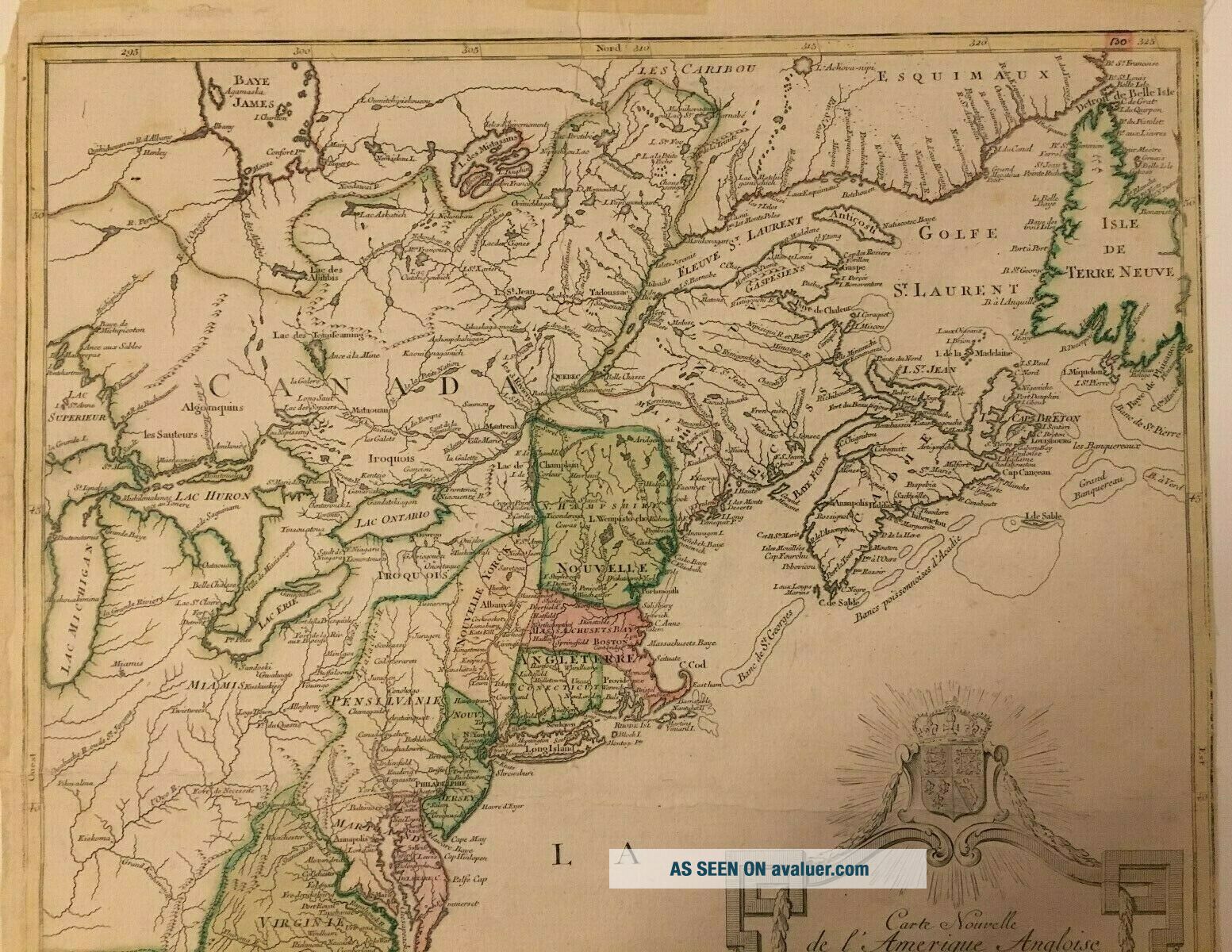
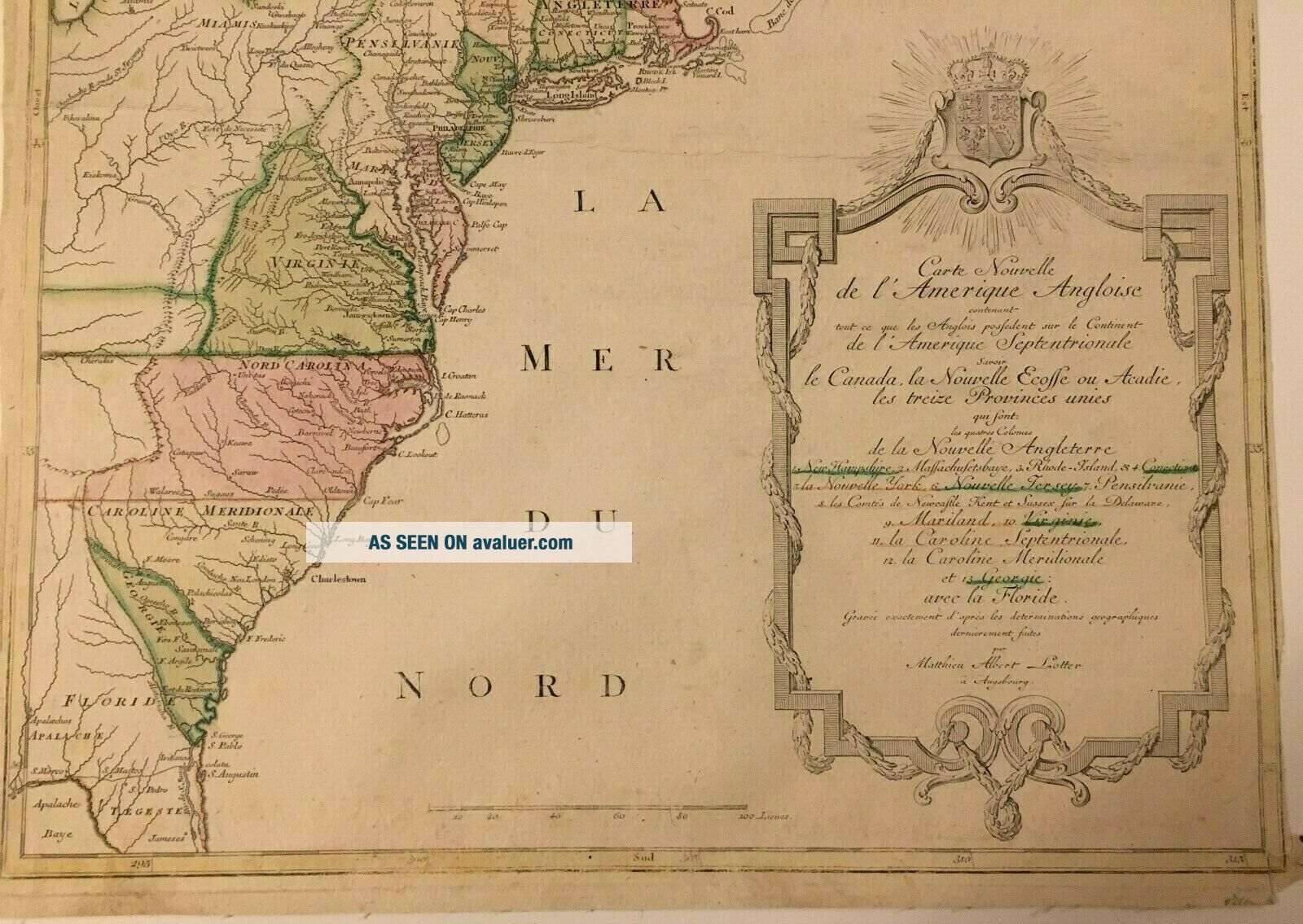
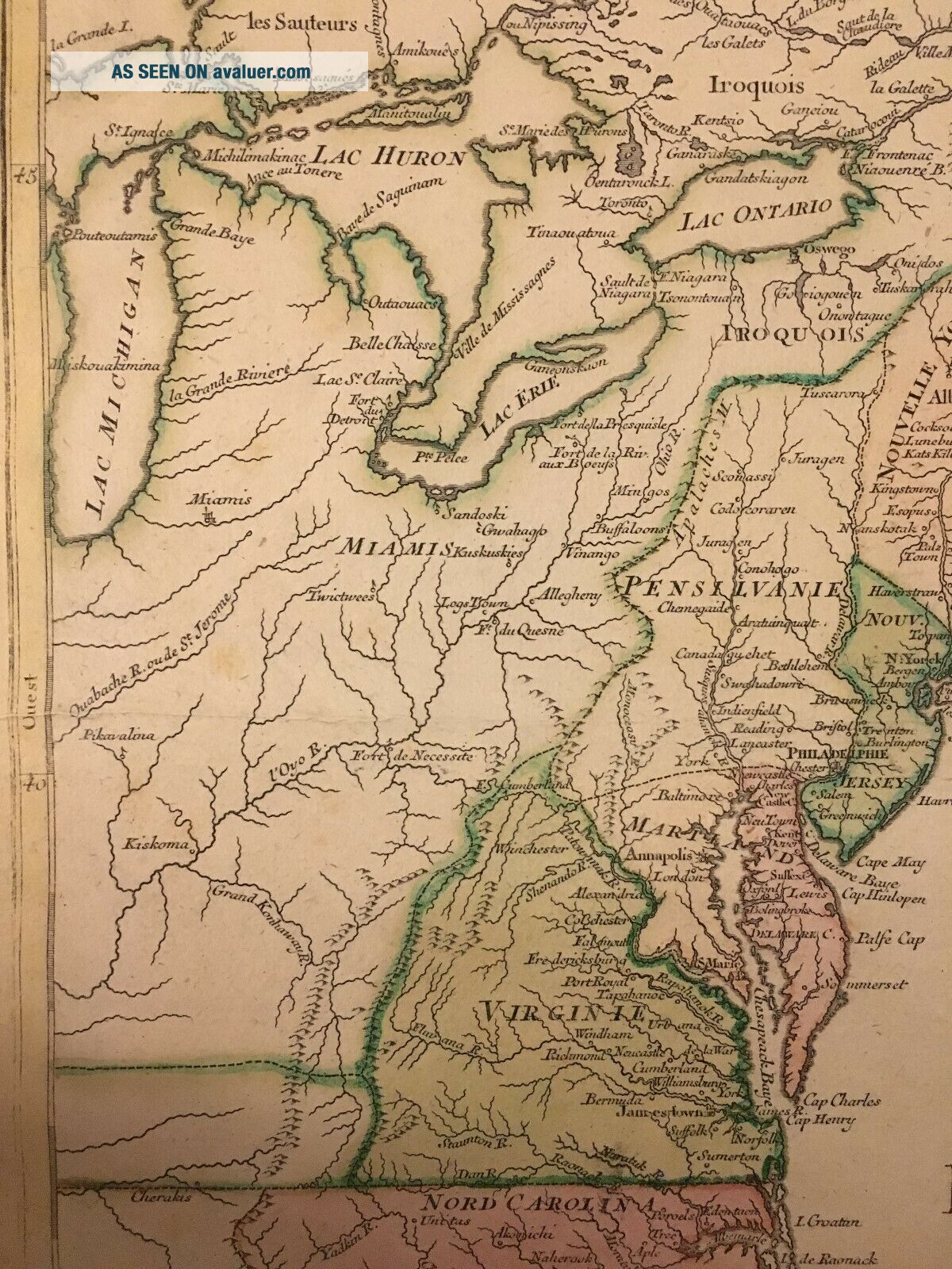
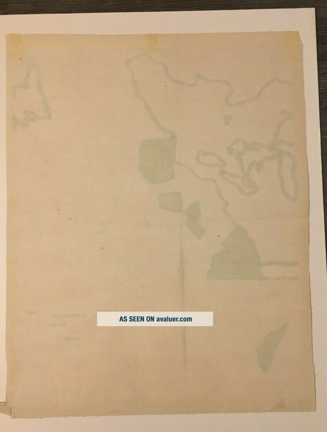
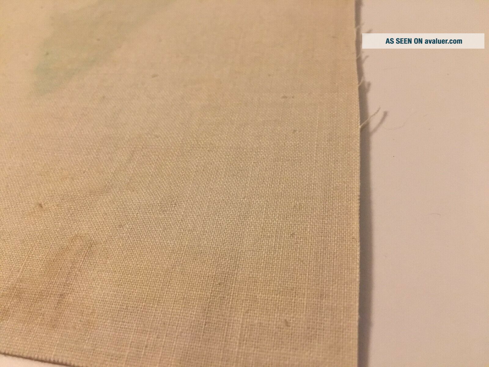
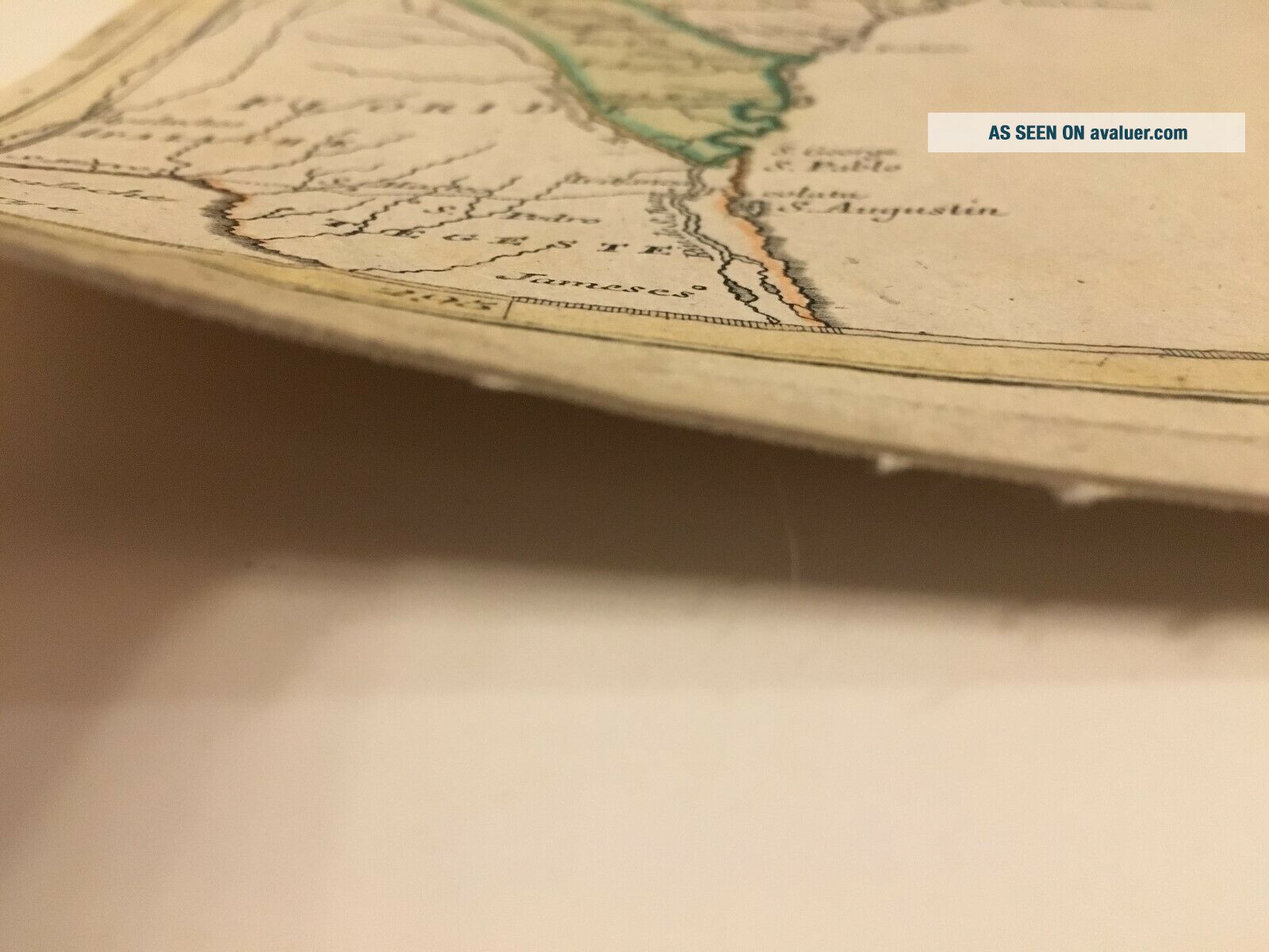
Map of the Thirteen Colonies by Matthieu Albert Lotter circa 1776 original map. This important historical engraving- issued during the American Revolutionary War -shows the original 13 Colonies, Canada and Florida in great detail. The title cartouche individually names and color-codes the “thirteen United Provinces” (although they are still described as “English possessions”). the western colonial boundaries extend along the Appalachian and Allegheny Mountains - in accorda...nce with the 1763 Treaty of Paris. Fort Necessity, Fort Duquesne, Sandusky, Detroit, Oswego and Fort Niagara all located. Indian Tribes are also identified. The new boundaries of the European possessions are displayed as effected by the outcome of the French and Indian War (Florida is therefore shown as an English possession - not receded to Spain until 1783). Some Native American Indian tribes are shown image size is 23.75" x 19.25. I have included pictures of the rear of the map and also a close up of the paper type and thickness. will be shipped with matting for secure shipping.
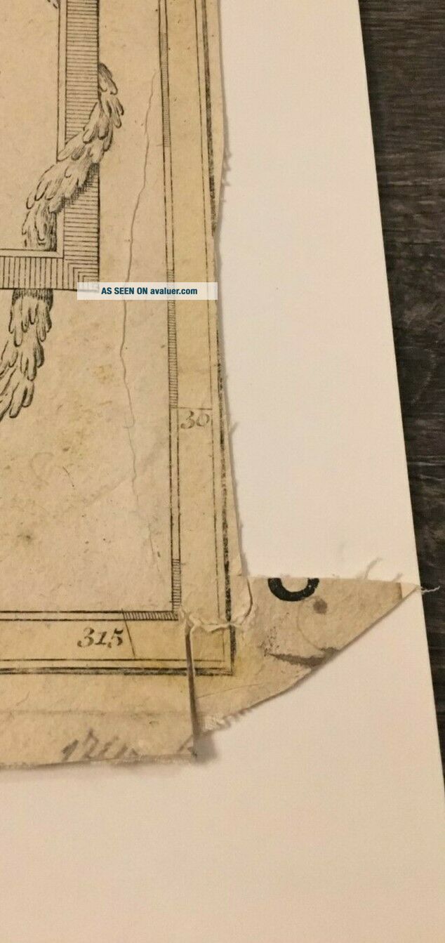
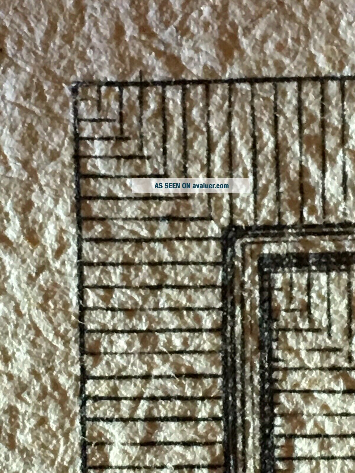
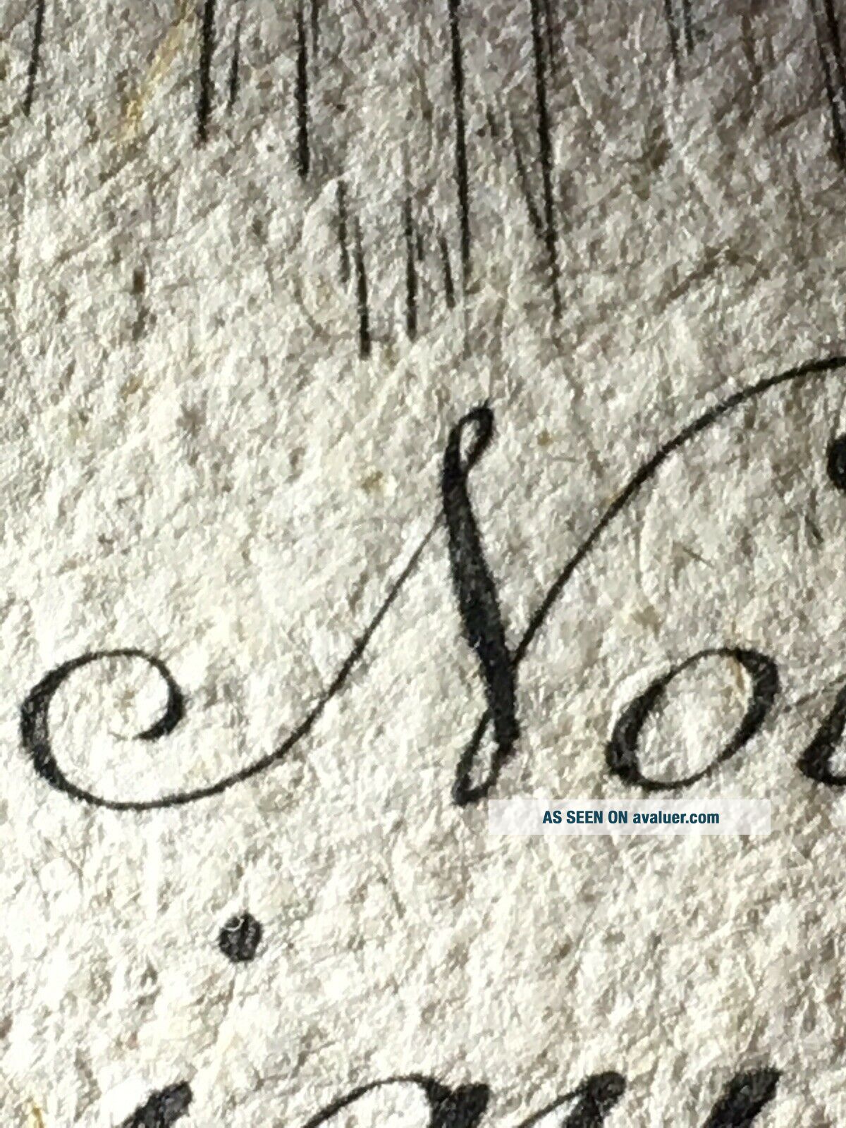
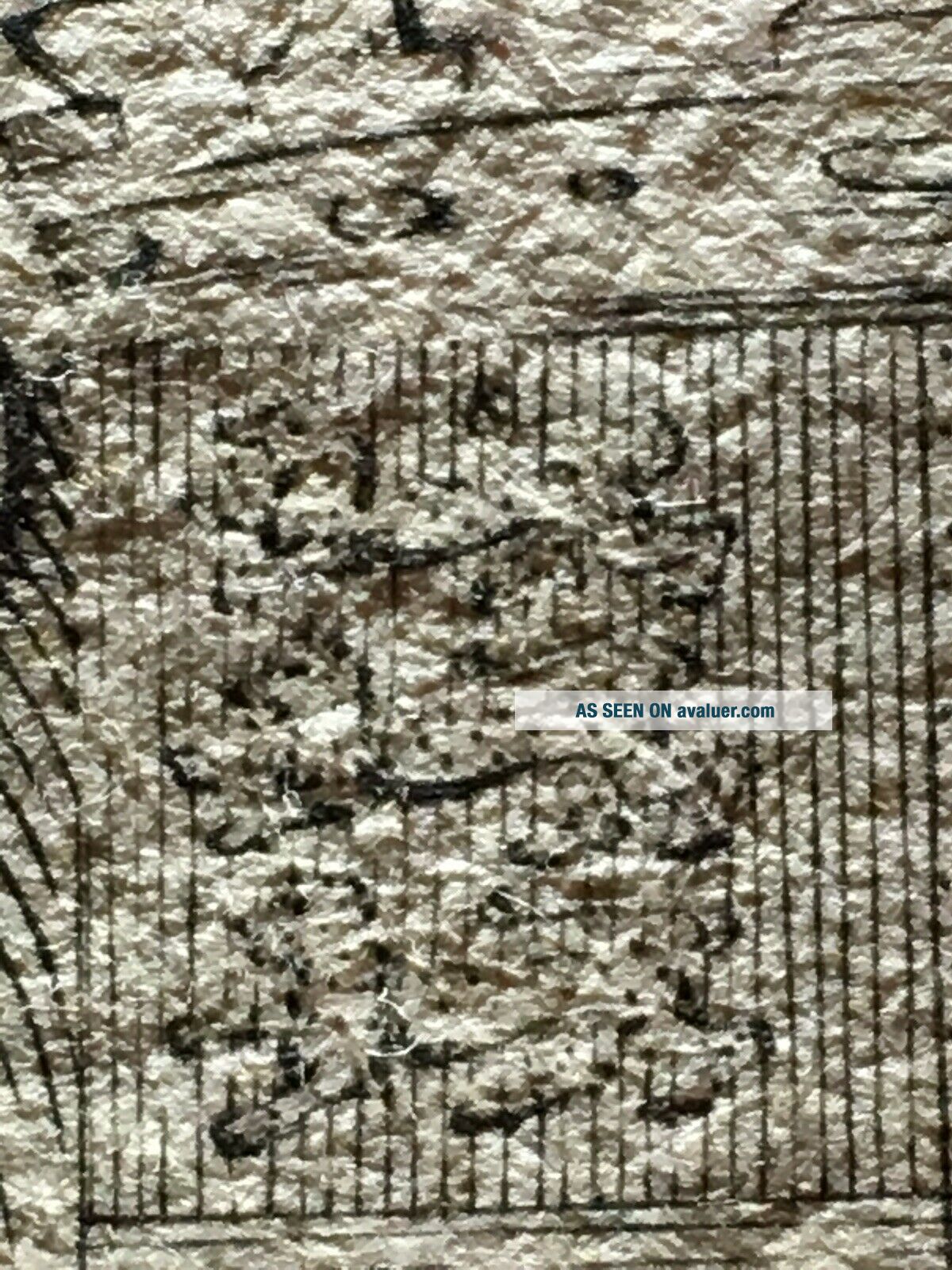
The university of Michigan has this map in its archive and has a high quality zoom tool that will allow you to compare details. I have added a few pictures using a proscope to zoom in as far as I could, you will notice in the one photo a vertical line extending thru the top left corner of the title box border. the same detail can be seen on the university of Michigan's example. the link to the archived example from 1778 is below. https://quod.lib.umich.edu/c/clark1ic/x-003282652/39015091186125?lasttype=boolean;lastview=thumbnail;resnum=14;size=20;sort=marc260;start=1;subview=detail;view=entry;rgn1=marc651;q1=North+America+Maps
Condition: The map has a crease in the center where it was probably folded, the bottom right corner also has a small crease and a small tear of the border. overall the map looks to be in good condition with vibrant non-enhanced color. please use the zoom tool to gather your own opinion of the condition before bidding.