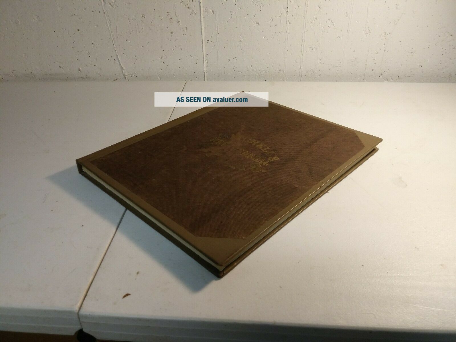
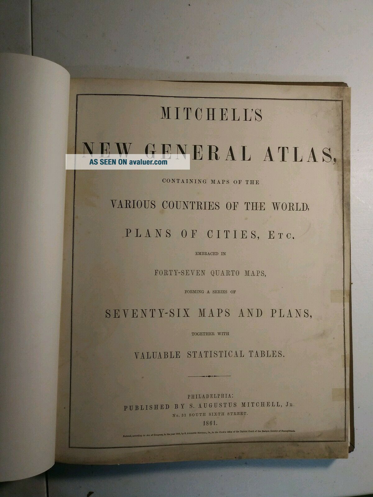
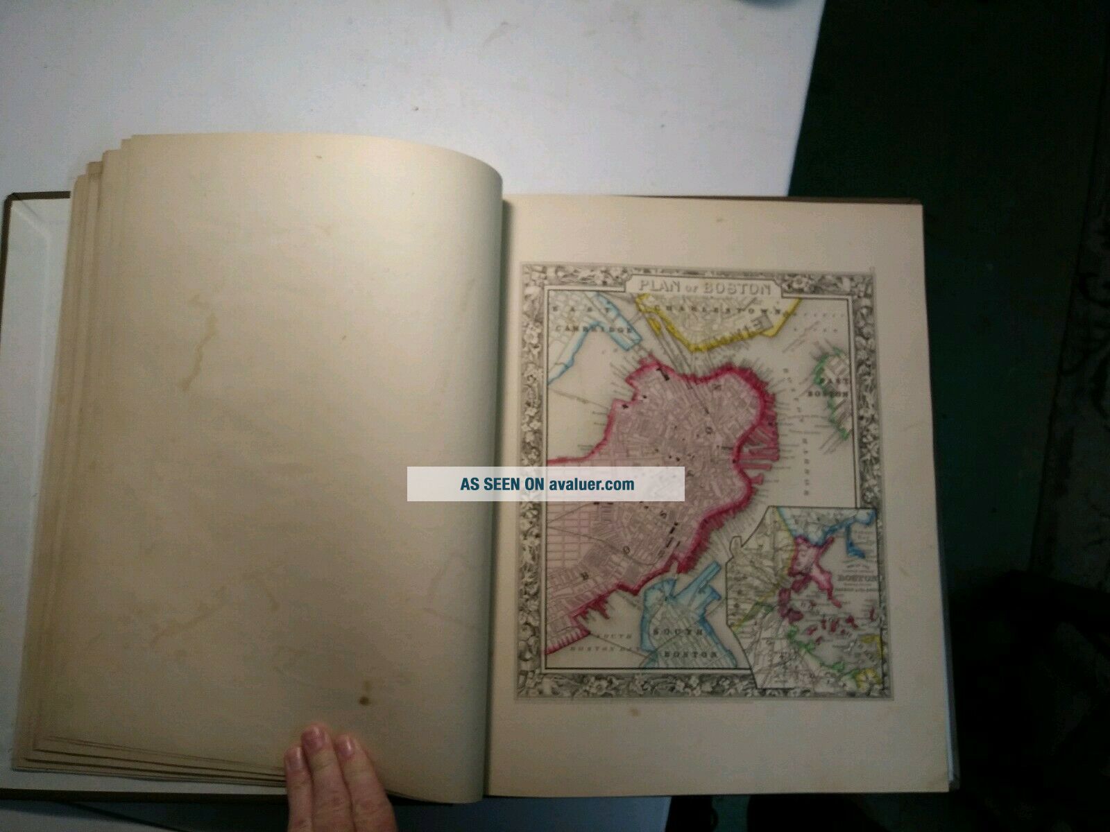
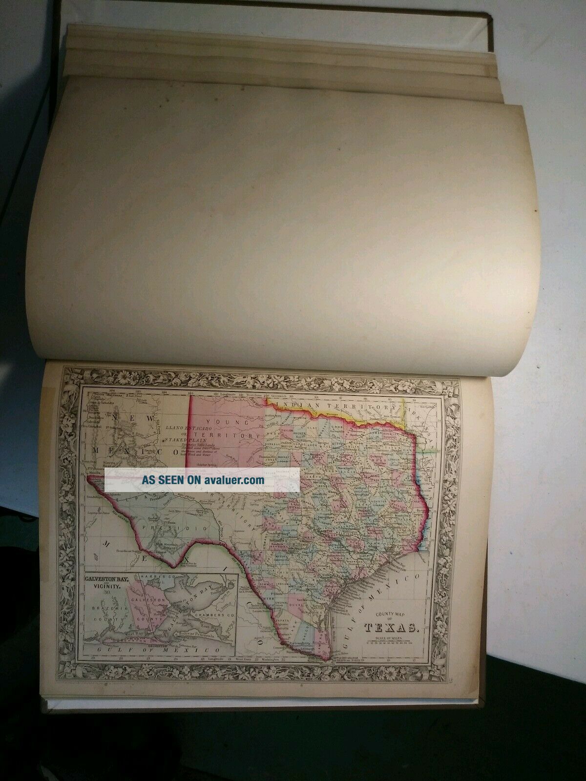
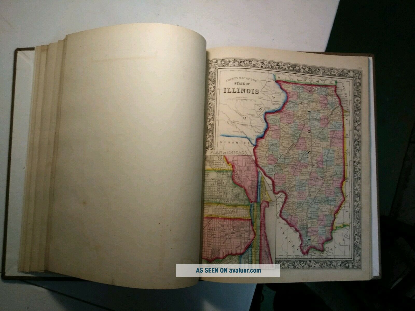
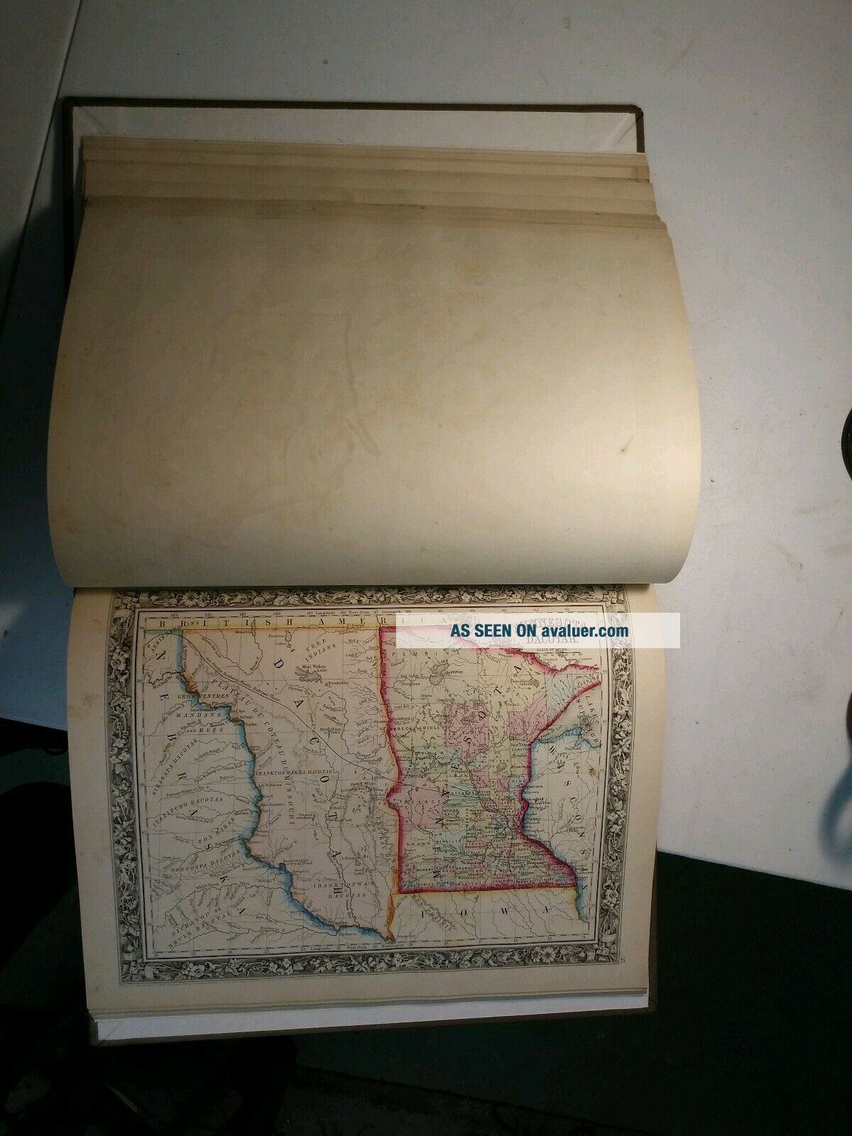
Mitchell ' S General Atlas. 1861. Complete. Rebound. Very


Item History & Price

Information:
Reference Number: Avaluer:13167Cartographer/Publisher: Samuel Augustus Mitchell
Original Description:
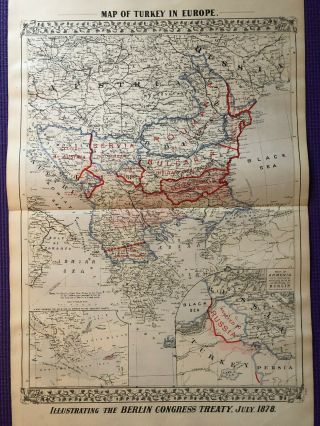
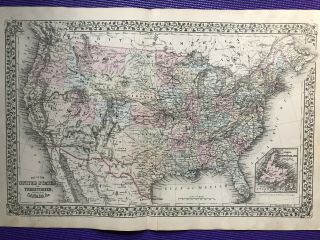
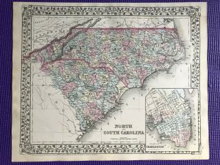
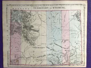
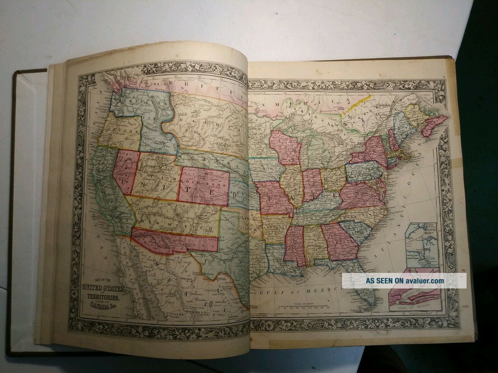
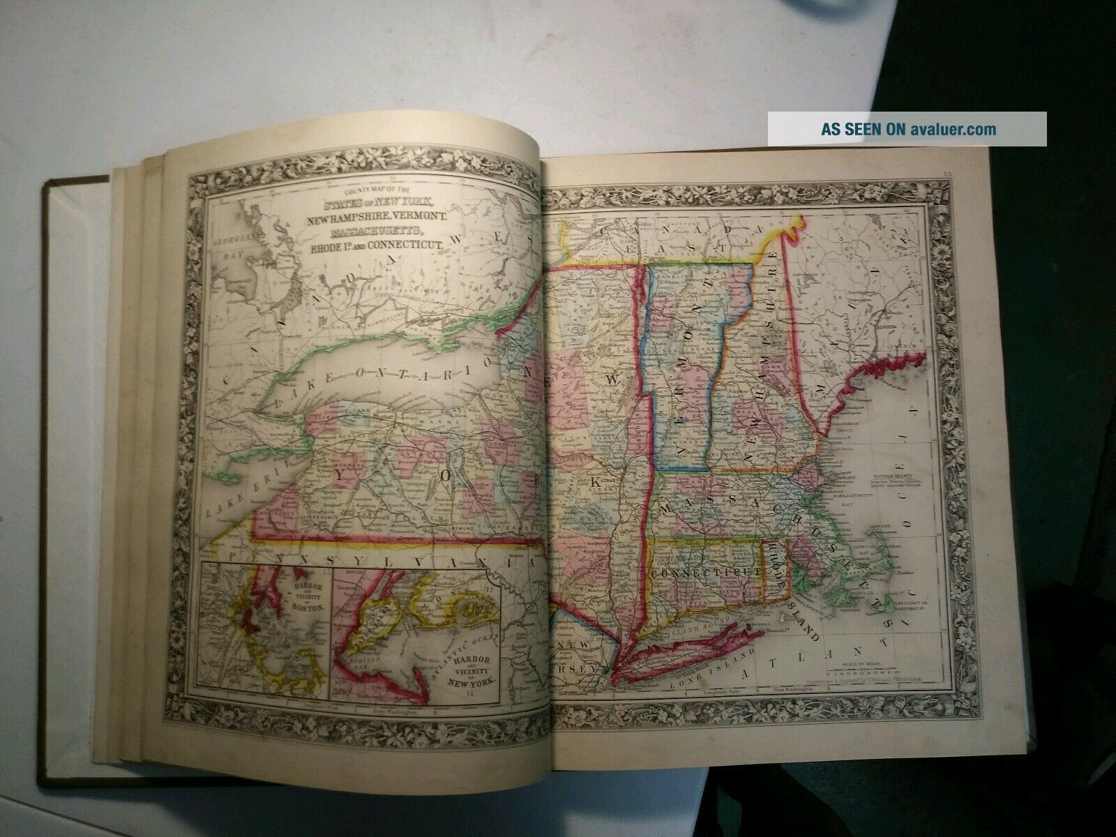
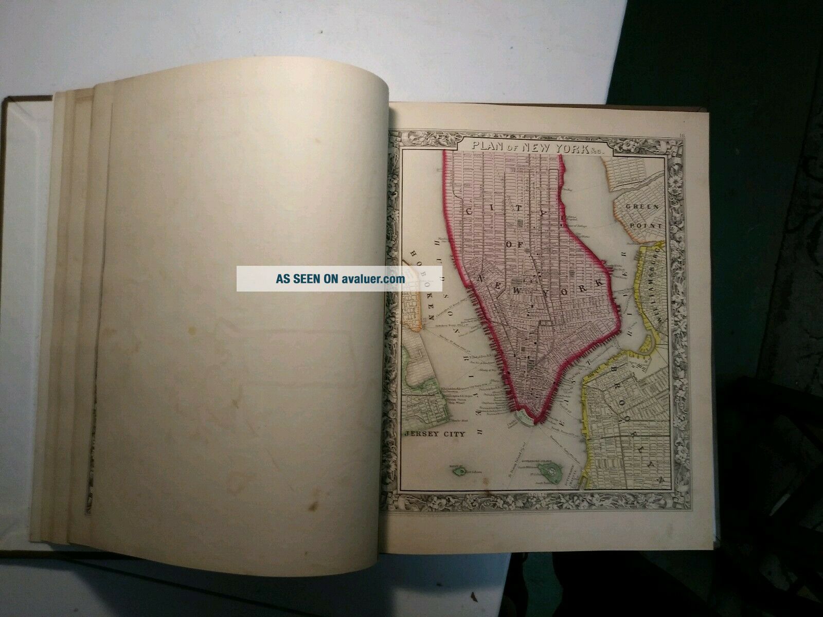
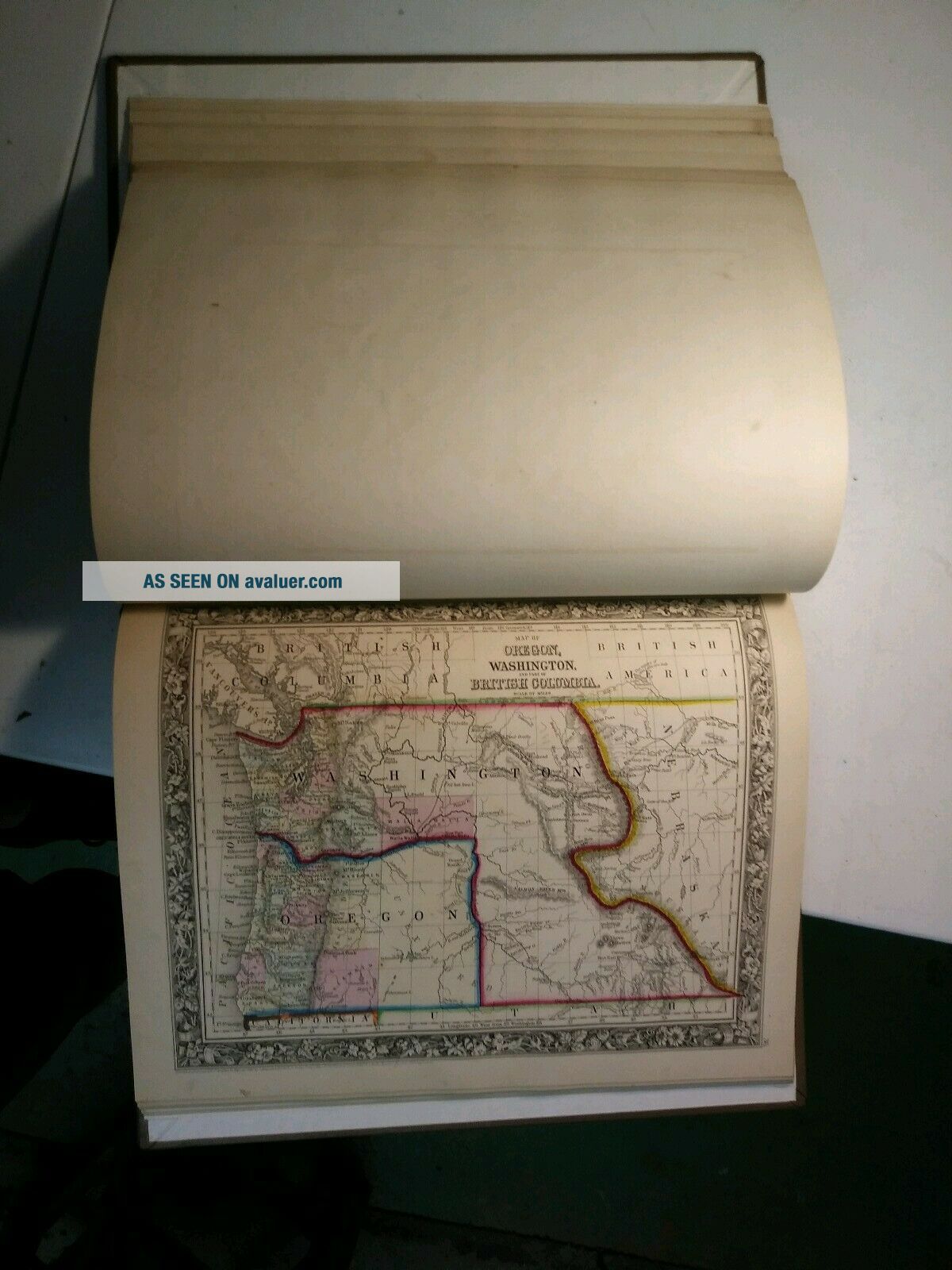
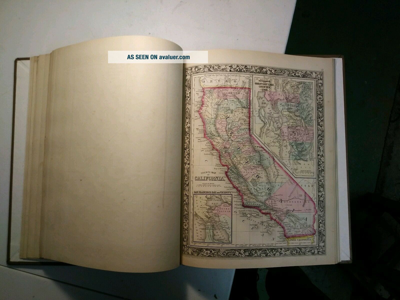
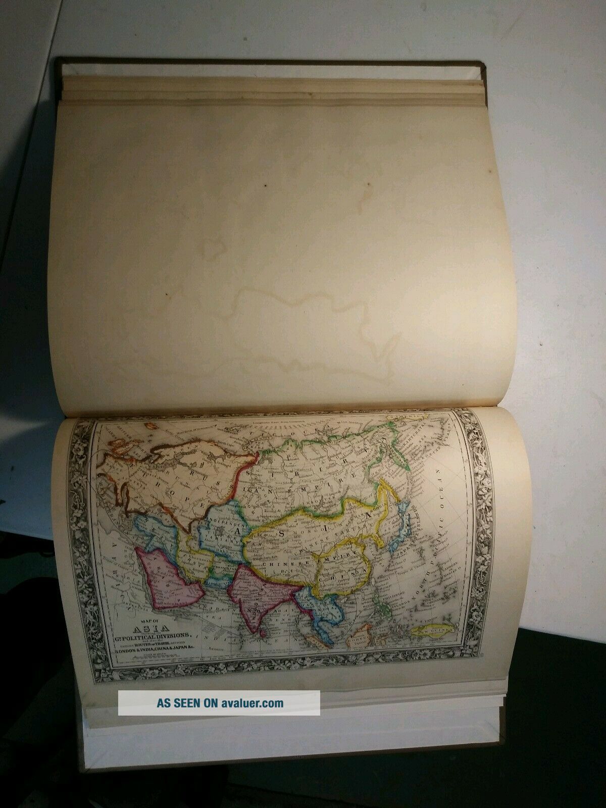
1861 Mitchell atlas, beautifully rebound.Complete. Hand coloring is vivid and bold. Condition overall is excellent. Paper quality is great. There are some small tape marks along the borders of three or four of the maps. There ls little to no foxing overall, however there are a four or five maps with light to moderate foxing on one border. Maps themselves are not impacted. I have tried to photograph key maps throughout the atlas to give a feel for condition. Will be glad to send along o...ther photos. Will consider buy it now at a proper premium to starting bid.


    Similar items


  • Antique " Mitchell

    Antique " Mitchell ' S General Atlas " 1874 Edition

  • 1874 Mitchell

    1874 Mitchell ' S General Atlas, Double Page York R7 04

  • 1874 Mitchell

    1874 Mitchell ' S General Atlas Us West Texas Antique Color Maps World Cuba

  • Mitchell

    Mitchell ' S General Atlas Published In 1860

  • Mitchell

    Mitchell ' S General Atlas 1880 Turkey Berlin Congress Treaty Map

  • Mitchell

    Mitchell ' S General Atlas United States And Territories Antique Map 1880

  • Mitchell

    Mitchell ' S General Atlas North And South Carolina Antique Map 1880

  • Mitchell

    Mitchell ' S General Atlas Territory Of Wyoming Antique Map 1880


    • You might also like


    • 1860 Mitchell Hand Colored Map Colorado,  Nebraska & Kansas - Civil War Era

      1860 Mitchell Hand Colored Map Colorado, Nebraska & Kansas - Civil War Era

    • 18th Century French Map Of North America

      18th Century French Map Of North America

    • Las Vegas Nevada Vintage 1967 Us Geological Survey Quadrangle Map 4 Panels

      Las Vegas Nevada Vintage 1967 Us Geological Survey Quadrangle Map 4 Panels

    • Rare Antique 1845 Maps United States Exploring Expedition Book Antartica Hawaii

      Rare Antique 1845 Maps United States Exploring Expedition Book Antartica Hawaii

    • Vintage 1926 Map Hollywood From The Best Surveys Of The Time

      Vintage 1926 Map Hollywood From The Best Surveys Of The Time

    • American Continent (western Hemisphere) 1747 Bowen Antique Copper Engraved Map

      American Continent (western Hemisphere) 1747 Bowen Antique Copper Engraved Map

    • Gulf Coast Florida Texas United States 1705 De Fer Unusual Antique Engraved Map

      Gulf Coast Florida Texas United States 1705 De Fer Unusual Antique Engraved Map

    • California As Island United States 1700 De Fer Unusual First Edition Antique Map

      California As Island United States 1700 De Fer Unusual First Edition Antique Map

Avaluer          About Us          Privacy Policy          Contact Us          UP
© 2022, avaluer.net, Inc. or its affiliates