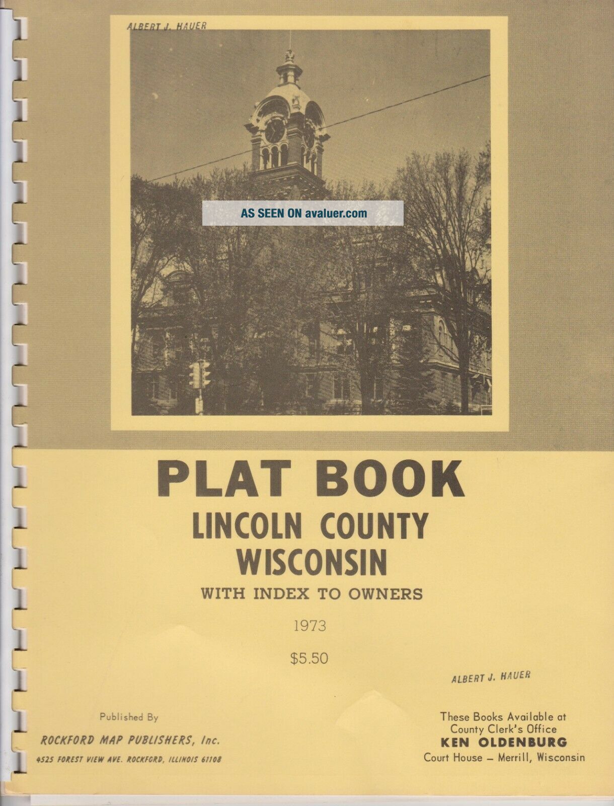
LINCOLN COUNTY WISCONSIN 1973 Plat BOOK Maps FARM LANDOWNER INDEX ROCKFORD
Item History & Price
Very nice used Lincoln County WI plat book from 1973

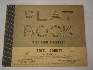
1973 Plat Book With Farm Directory - Rock County, Wisconsin - 33 Pages Tub Mmmm1
Vtg 1971 Green County Wisconsin Official Plat Book & Rural Directory
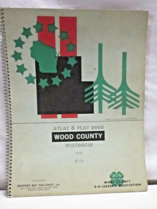
Vintage 1979 Wood County Wisconsin Atlas & Plat Book Rockford Map Publishing
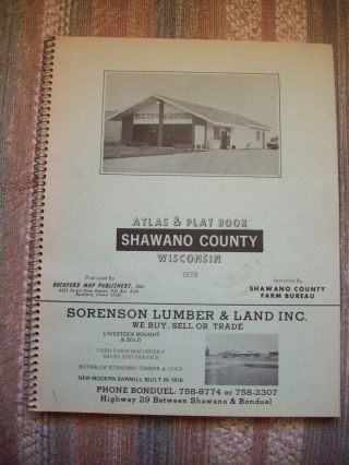
Shawano County Wisconsin Atlas & Plat Book 1978

Shawano County Wisconsin Atlas & Plat Book 1984
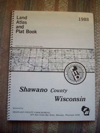
Shawano County Wisconsin Atlas & Plat Book 1988
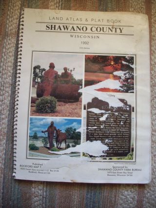
Shawano County Wisconsin Atlas & Plat Book 1992
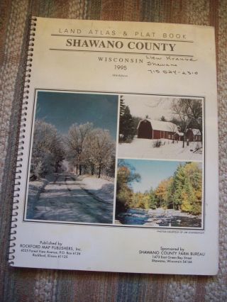
Shawano County Wisconsin Atlas & Plat Book 1995

1860 Mitchell Hand Colored Map Colorado, Nebraska & Kansas - Civil War Era

18th Century French Map Of North America

Las Vegas Nevada Vintage 1967 Us Geological Survey Quadrangle Map 4 Panels

Rare Antique 1845 Maps United States Exploring Expedition Book Antartica Hawaii

Vintage 1926 Map Hollywood From The Best Surveys Of The Time

American Continent (western Hemisphere) 1747 Bowen Antique Copper Engraved Map

California As Island United States 1700 De Fer Unusual First Edition Antique Map

Gulf Coast Florida Texas United States 1705 De Fer Unusual Antique Engraved Map