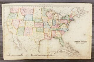
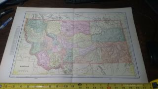
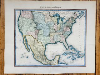
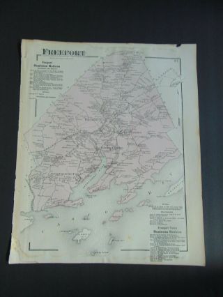
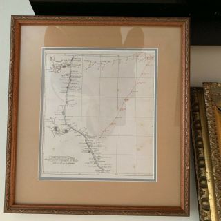
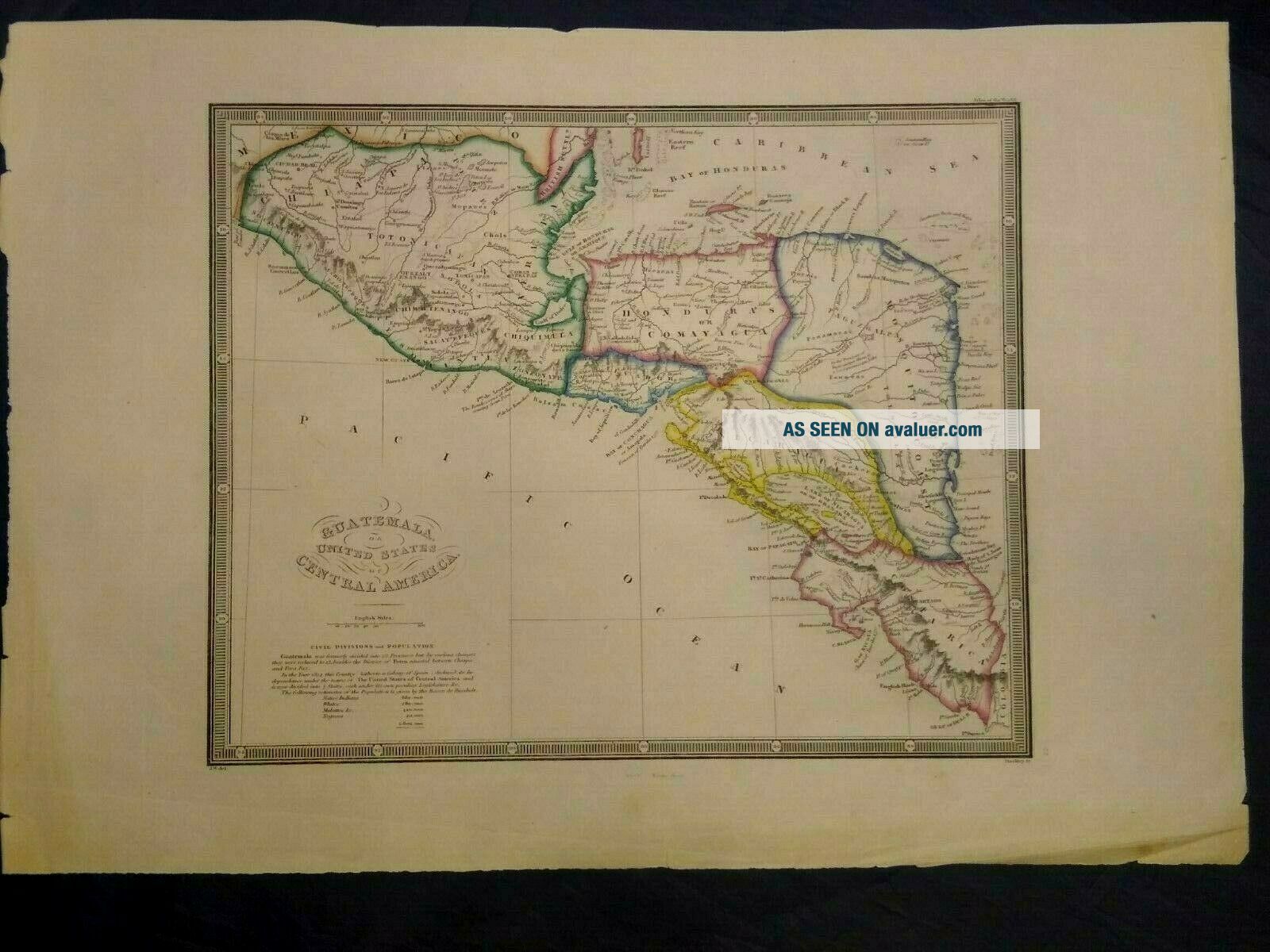
Antique Map Of Guatemala Or United States Of Central America


Item History & Price

Information:
Reference Number: Avaluer:1230876Cartographer/Publisher: J. Wyld
Country/Region: Central America, Guatemala, Caribbean Sea, Pacific OceanDate Range: 1853
Type: cartography mapsOriginal/Reproduction: Antique Original
Year: 1853
Original Description:
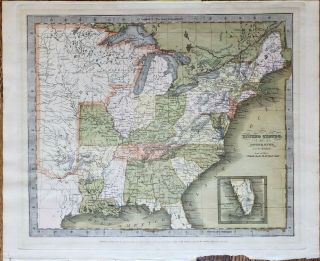
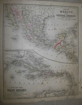
A antique map of Central America ( 1853 ).This is a very detailed map. It shows the region broken down into the countries as well as ports and towns. This is a very rare partially colored map as most of the time were black and white.  Map size is 16 1/4 x 11 1/4. This is part of the Kip Kapp Collection. We have RECENTLY purchased several thousand maps, historical documents and pictures from the famed Kip Kapp . He was a very famous map collector, author, and cartogr...apher. Many of these maps were priced by him prior to 2009. In most cases we will start the price at or lower than his prices with a buy it now option. All these maps will be for sale within the next few months. We guarantee their authenticity from the Kapp collection. A few has his initials ks or ksk on them. We are not experts on maps, that's why they were purchased from an expert. We do our best with pictures to show you the condition of each one. Again please review the pictures provided before purchasing. Each map will be shipped priority mail and insured through the post office.


    Similar items


  • Antique Map Of The United States By: David Burr,  1835

    Antique Map Of The United States By: David Burr, 1835

  • A Antique Map Of South Eastern United States

    A Antique Map Of South Eastern United States

  • Antique Map Of The Mid - Western United States By: G.  H.  Swanston,  1848 (c)

    Antique Map Of The Mid - Western United States By: G. H. Swanston, 1848 (c)

  • Antique Map Of The United States By: Warner & Beers,  1872

    Antique Map Of The United States By: Warner & Beers, 1872

  • Antique Map Of The United States By: Rand Mcnally,  1880

    Antique Map Of The United States By: Rand Mcnally, 1880

  • 1900 Antique Map Of Montana World Atlas United States Vintage Rare

    1900 Antique Map Of Montana World Atlas United States Vintage Rare

  • Antique Map Of The United States And Mexico By: Furne 1851

    Antique Map Of The United States And Mexico By: Furne 1851

  • Antique Map Of Freeport Maine & Casco Bay Circa 1870

    Antique Map Of Freeport Maine & Casco Bay Circa 1870 ' S


    • You might also like


    • Extremely Rare Photo Of Hong Kong,  Showing Central Victoria Township 1857

      Extremely Rare Photo Of Hong Kong, Showing Central Victoria Township 1857

    • 1893 Atlas Map Plat Turner County South Dakota Rowley & Peterson Antique Vtg.

      1893 Atlas Map Plat Turner County South Dakota Rowley & Peterson Antique Vtg.

    • 1860: Manuscript Map Of Hms Vixen Chile / Peru

      1860: Manuscript Map Of Hms Vixen Chile / Peru

    • U.  S Geological Survey Authentic Rubber Stamp 1986 South Pole

      U. S Geological Survey Authentic Rubber Stamp 1986 South Pole

    • South America; Brazil,  Santa Catarina Island - Bellin - 1751 - 1760

      South America; Brazil, Santa Catarina Island - Bellin - 1751 - 1760

    • Rare Antique G.  W.  Bromley & Co 1891 City Of South Boston Mass Atlas 33 Plates

      Rare Antique G. W. Bromley & Co 1891 City Of South Boston Mass Atlas 33 Plates

    • Map; Mexico & Central America - Map Of West Indies 1887

      Map; Mexico & Central America - Map Of West Indies 1887

Avaluer          About Us          Privacy Policy          Contact Us          UP
© 2022, avaluer.net, Inc. or its affiliates