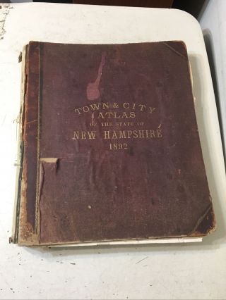
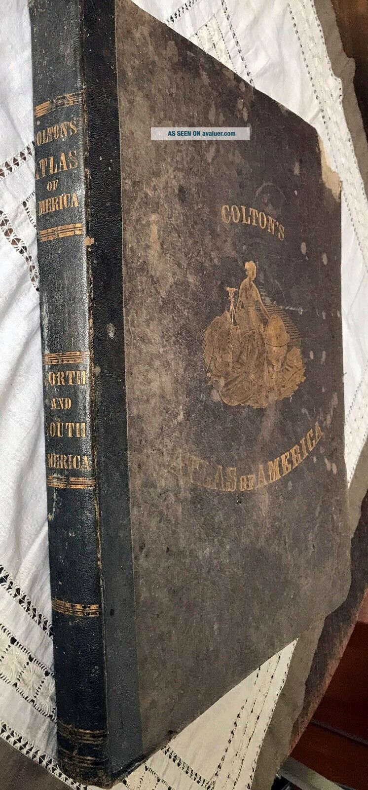
1857 Colton ' S Atlas Of America With Hand Coloured Plates RARE


Item History & Price

Information:
Reference Number: Avaluer:10679Cartographer/Publisher: Colton
Date Range: 1800-1899Original/Reproduction: Antique Original
Country/Region: United States of AmericaFormat: Atlas
Original Description:
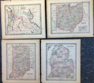
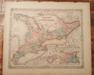
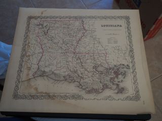
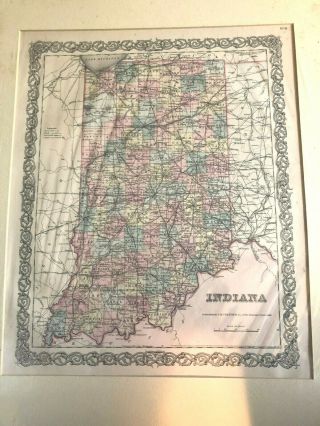
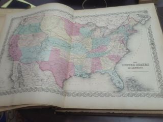
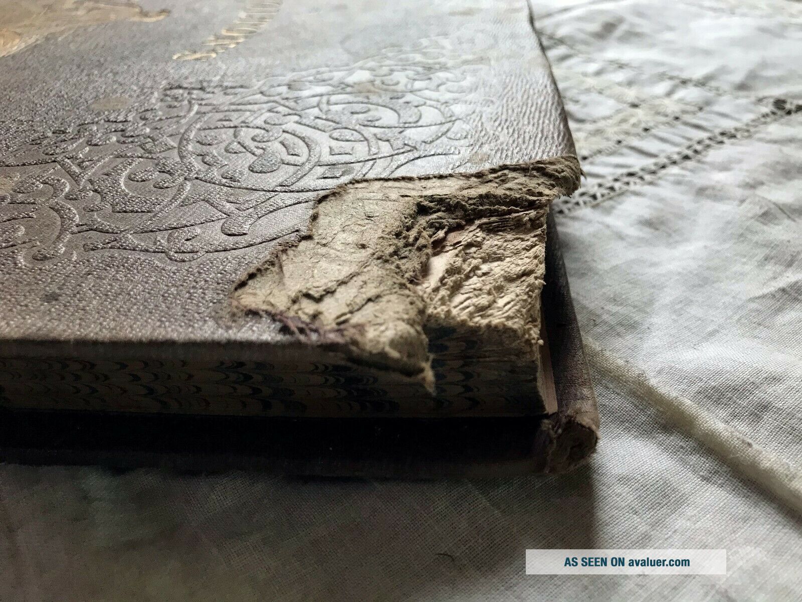
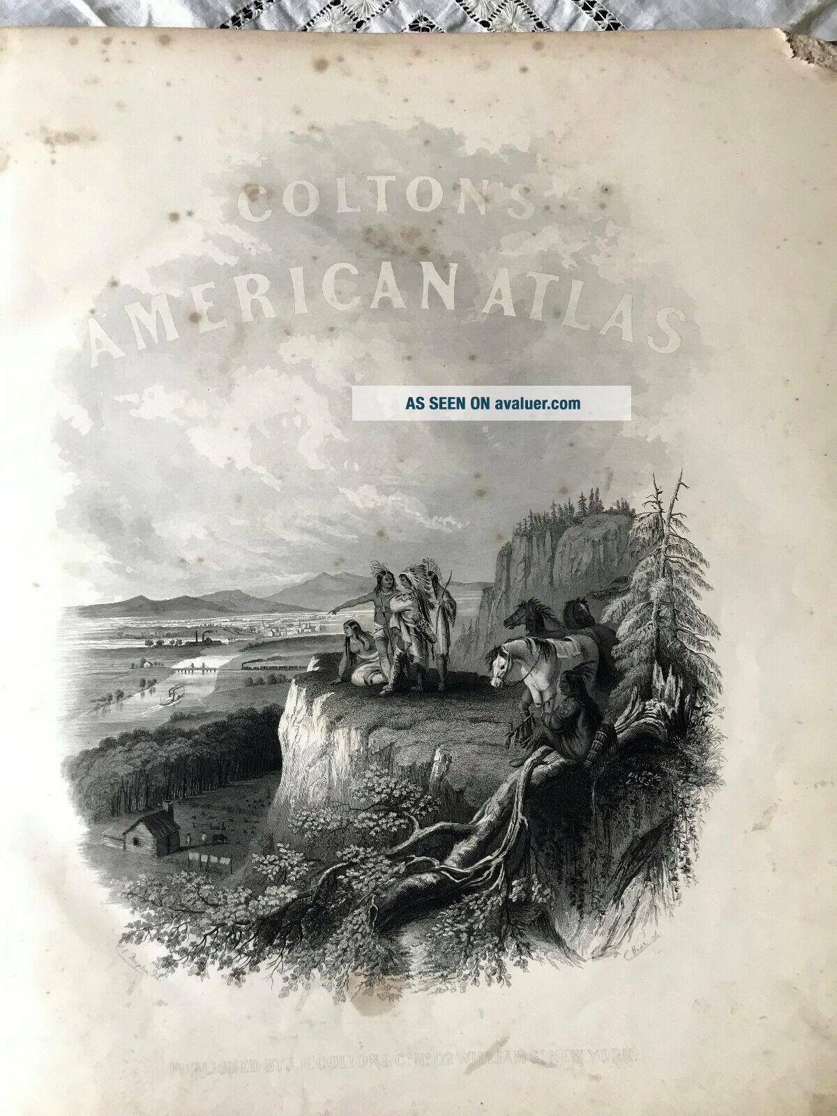
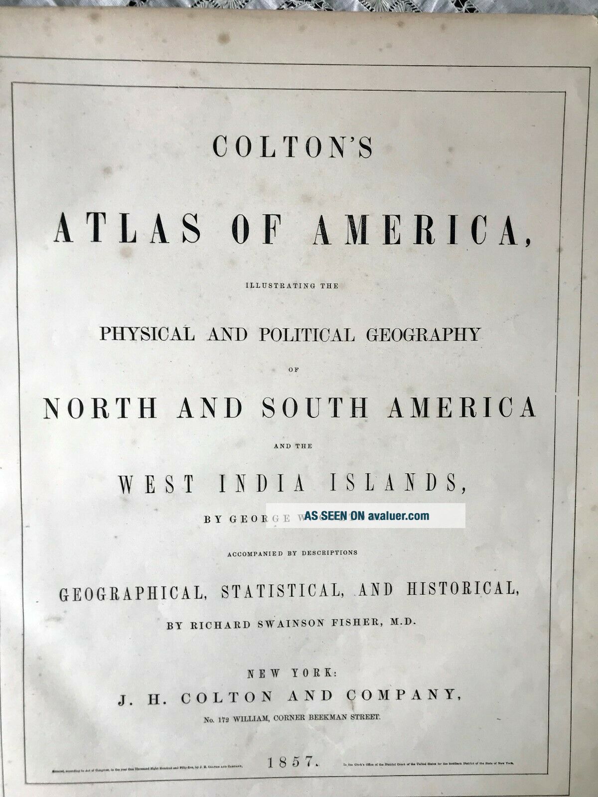
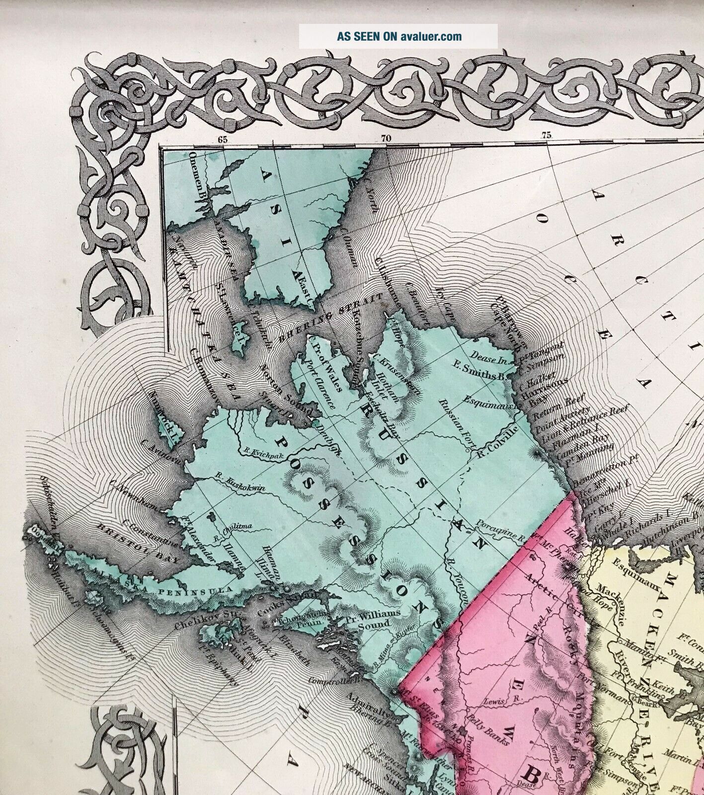
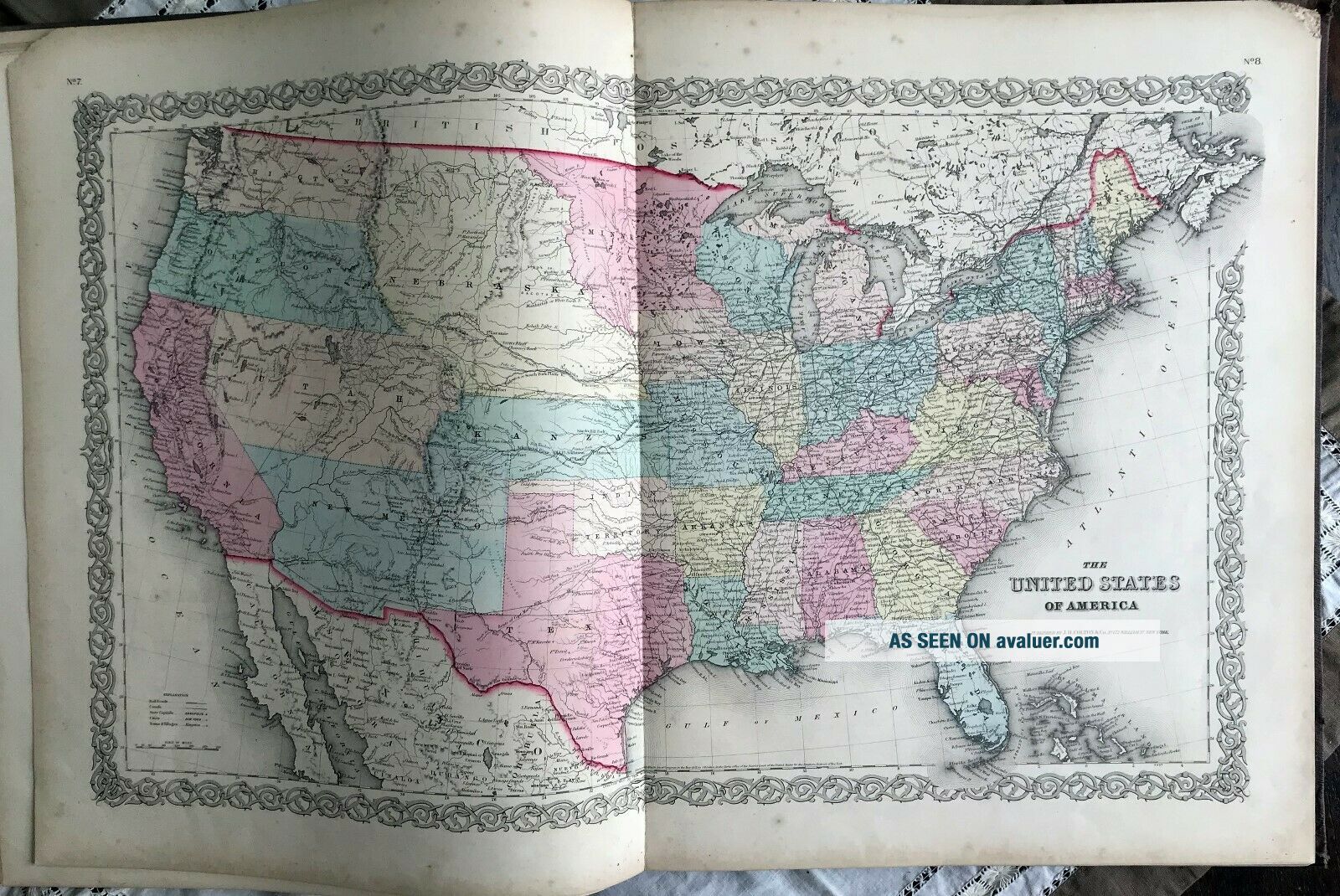
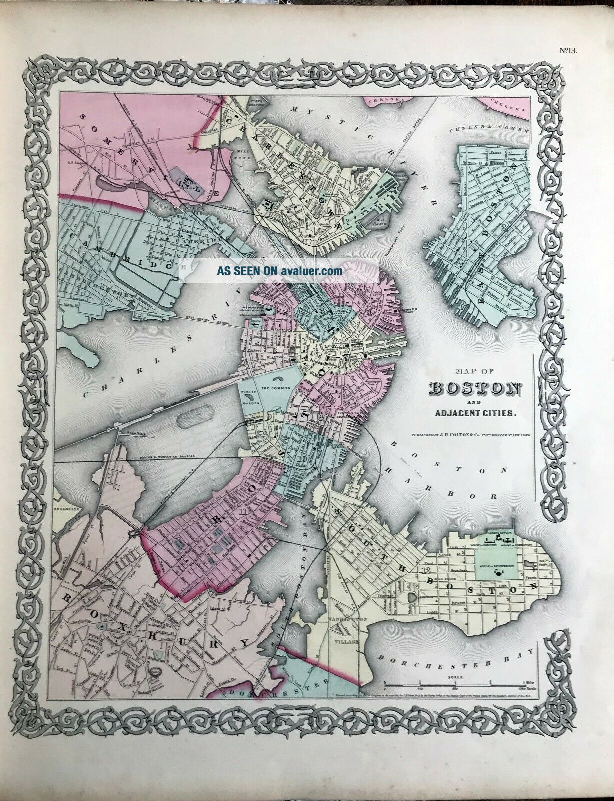
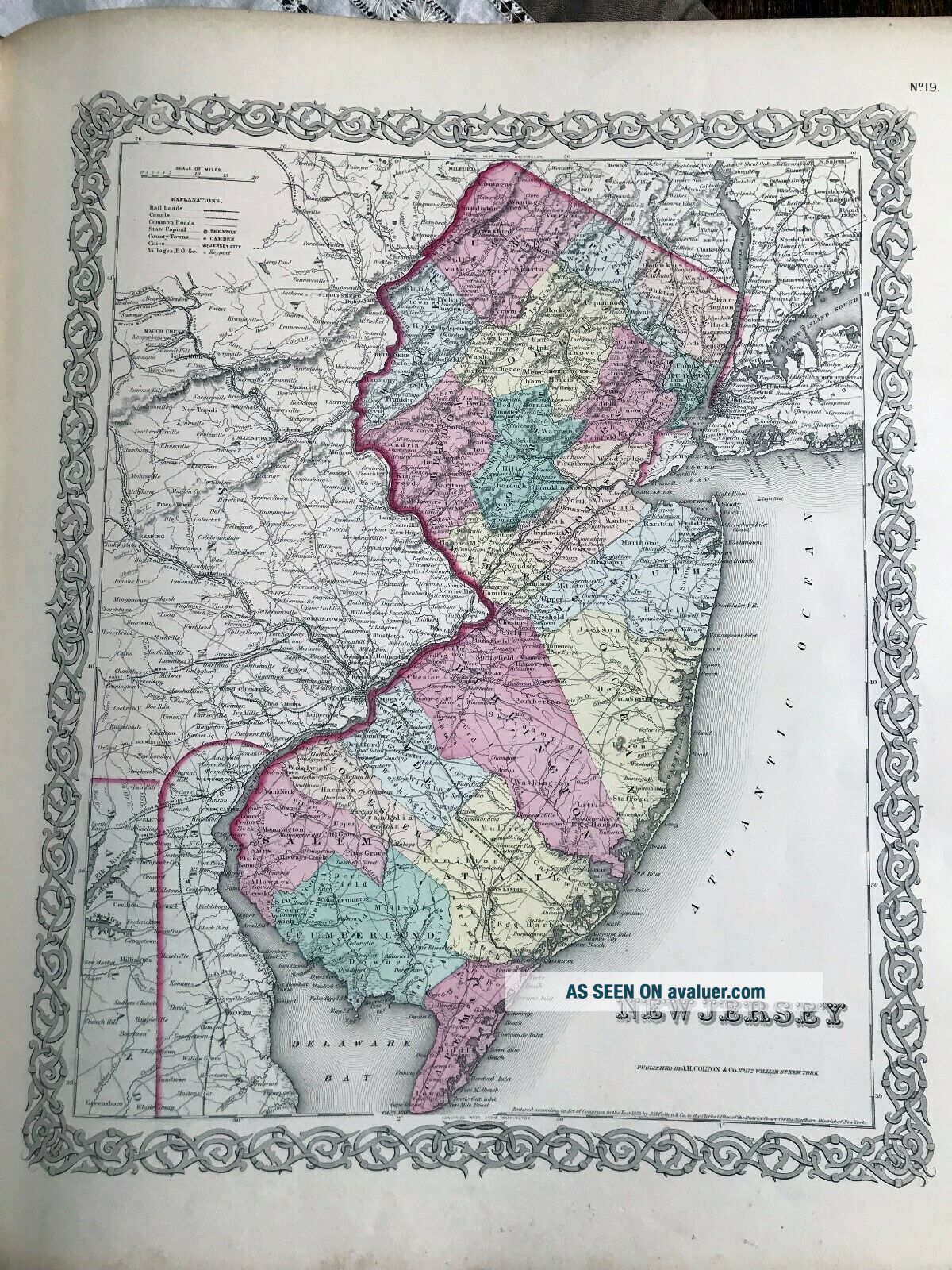
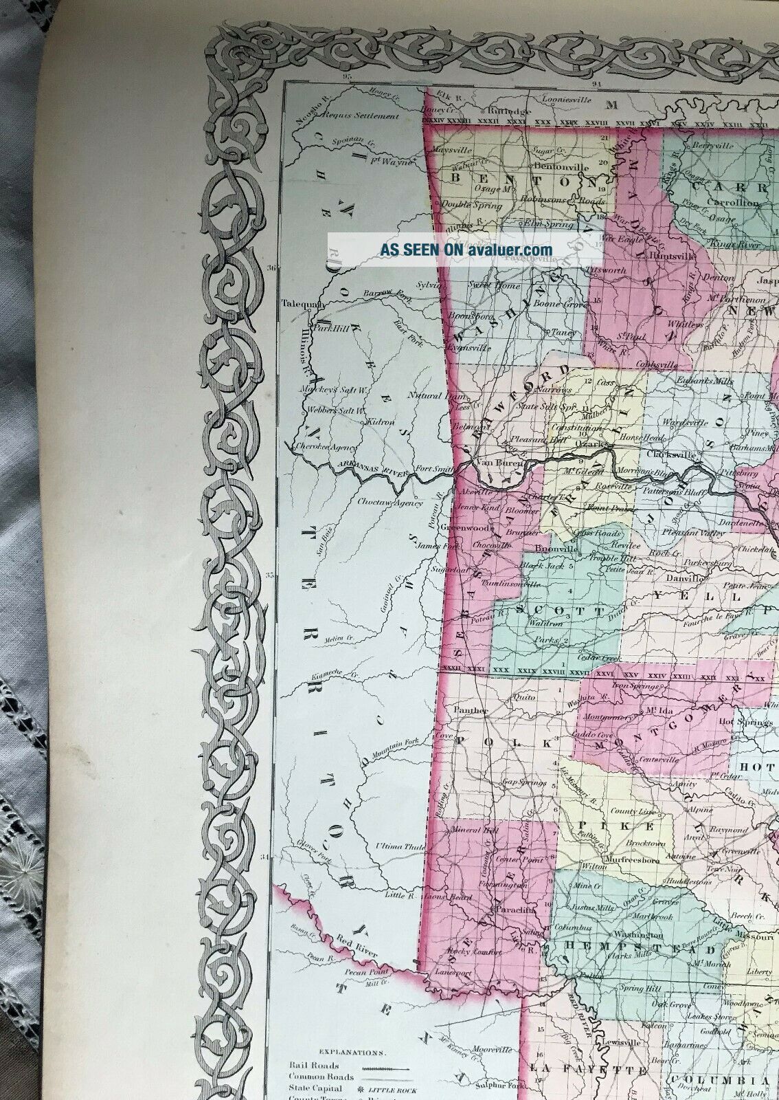
1857 Colton's Atlas of America with Hand Coloured Plates RAREA large Atlas, 19" x 16 1/2" and weighing in at nearly 11 lbWonderful and numerous plates, all hand-colored, of North, South and Central AmericaThe plates include Alaska, when it was Russian, Canada, many maps of US states and territories and major cities, Central and South AmericaThe focus is on the US for sureAlso, the descriptions and stats give a rare peek into the pastCondition-wise:Firm spine, good binding.  Some f...oxing on the first few pages and first few maps, then mint.  Damage to one corner, mostly the cover, but no maps or texts are affected, as it is well out of the framing range.  Only a couple of maps have corner paper damage, and in a very minor way.The Indian Territories are mentioned and illustratedIt will be sold intact, shipped well via International Courier, with insurance 


    Similar items


  • Colton

    Colton ' S Atlas Of The World, Published 1856 Volume I, North And South America

  • - 1856 Colored Map/canada West Or Upper Canada - Colton

    - 1856 Colored Map/canada West Or Upper Canada - Colton ' S Atlas Of The World

  • Antique Map " Louisiana " Colton

    Antique Map " Louisiana " Colton ' S Atlas Of The World

  • Antique 1855 Indiana State Map,  Hand - Colored From Colton

    Antique 1855 Indiana State Map, Hand - Colored From Colton ' S Atlas Of The World

  • Antique 1892 Hurd’s Atlas Of Hanpshire With Illustrations Homes & Businesses

    Antique 1892 Hurd’s Atlas Of Hanpshire With Illustrations Homes & Businesses

  • 1856 Colton

    1856 Colton ' S Atlas Of The World 2 Volumes 101 Colored Maps All Very Good

  • 1857 Voigt

    1857 Voigt ' S Atlas Of Ancient Geography 14 Hand Coloured Maps 163 Years Old

  • Audubon

    Audubon ' S Birds Of America With Text By George Dock Jr. (1978 Edition)


    • You might also like


    • 1860 Mitchell Hand Colored Map Colorado,  Nebraska & Kansas - Civil War Era

      1860 Mitchell Hand Colored Map Colorado, Nebraska & Kansas - Civil War Era

    • 18th Century French Map Of North America

      18th Century French Map Of North America

    • Las Vegas Nevada Vintage 1967 Us Geological Survey Quadrangle Map 4 Panels

      Las Vegas Nevada Vintage 1967 Us Geological Survey Quadrangle Map 4 Panels

    • Rare Antique 1845 Maps United States Exploring Expedition Book Antartica Hawaii

      Rare Antique 1845 Maps United States Exploring Expedition Book Antartica Hawaii

    • Vintage 1926 Map Hollywood From The Best Surveys Of The Time

      Vintage 1926 Map Hollywood From The Best Surveys Of The Time

    • American Continent (western Hemisphere) 1747 Bowen Antique Copper Engraved Map

      American Continent (western Hemisphere) 1747 Bowen Antique Copper Engraved Map

    • Gulf Coast Florida Texas United States 1705 De Fer Unusual Antique Engraved Map

      Gulf Coast Florida Texas United States 1705 De Fer Unusual Antique Engraved Map

    • California As Island United States 1700 De Fer Unusual First Edition Antique Map

      California As Island United States 1700 De Fer Unusual First Edition Antique Map

Avaluer          About Us          Privacy Policy          Contact Us          UP
© 2022, avaluer.net, Inc. or its affiliates