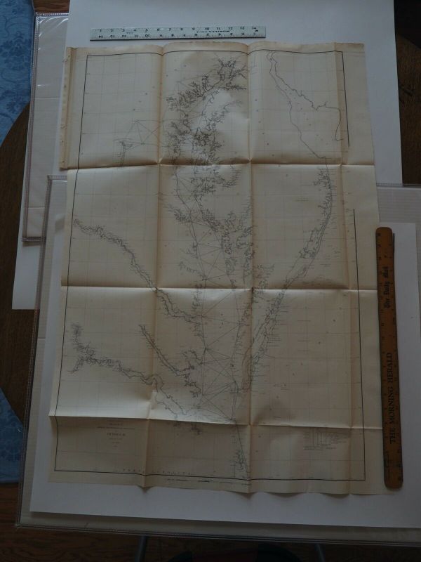
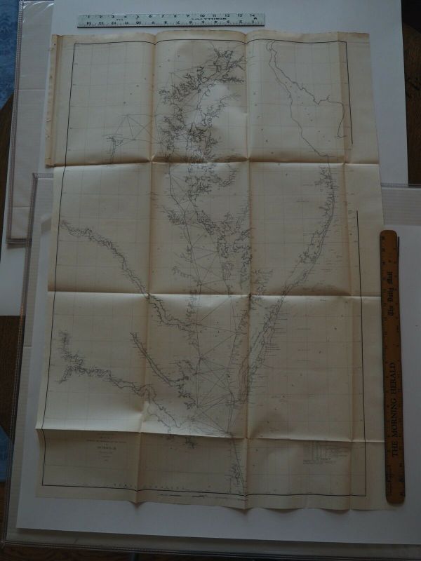
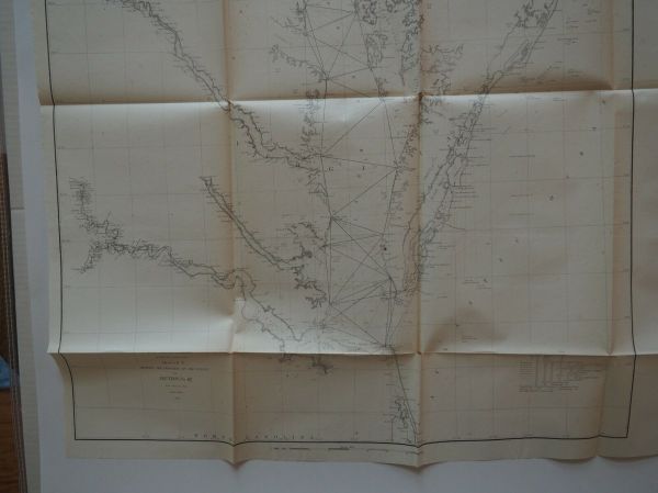
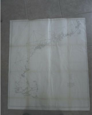
Antique Map " U. S. Coast Survey. Chesapeake Bay From North East To Mouth Of Bay "
Item History & Price
| Reference Number: Avaluer:59585921 |

| Reference Number: Avaluer:59585921 |
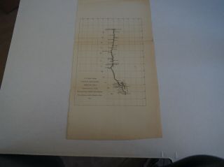
Antique Map " U. S. Coast Survey Showing Progress Of Deep Sea Soundings "
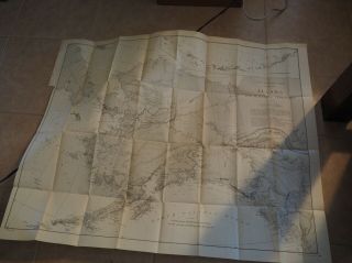
Antique Map " U. S. Coast And Geodetic Survey Alaska And Adjoining Territory "
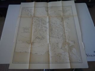
Antique Map " U. S. Coast Survey Washington Sound And Approaches "
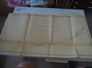
Antique Map " U. S. Coast Survey, Sketch Of The Aleutian Islands " 1873
Antique Map " U. S. Coast Survey Sketch A Showing The Primary Triangulation Sec 1
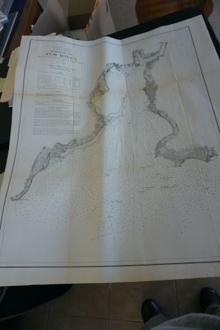
Antique Map " U. S. Coast Survey Harbor Of Haven " 1872
Antique Map " U. S. Coast Survey Sketch J No. 2 Rec Of The Western Coast Of The.
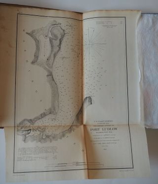
Antique Map " U. S. Coast Survey Preliminary Survey Of Port Ludlow, Washington T

1860 Mitchell Hand Colored Map Colorado, Nebraska & Kansas - Civil War Era

18th Century French Map Of North America

Las Vegas Nevada Vintage 1967 Us Geological Survey Quadrangle Map 4 Panels

Rare Antique 1845 Maps United States Exploring Expedition Book Antartica Hawaii

Vintage 1926 Map Hollywood From The Best Surveys Of The Time

American Continent (western Hemisphere) 1747 Bowen Antique Copper Engraved Map

Gulf Coast Florida Texas United States 1705 De Fer Unusual Antique Engraved Map

California As Island United States 1700 De Fer Unusual First Edition Antique Map