U. S. Coast Survey - City Of San Francisco And Its Vicinity


Item History & Price

Information:
Reference Number: Avaluer:58926898Year: 1853
Date Range: 1800-1899Cartographer/Publisher: U. S. Coast Survey
US State: CaliforniaType: Nautical Map
City: San FranciscoOriginal/Reproduction: Antique Original
Country/Region: United States of America
Original Description:
U.S. Coast Survey - City of San Francisco and its vicinity. Shipped with USPS First Class.
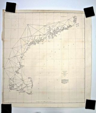
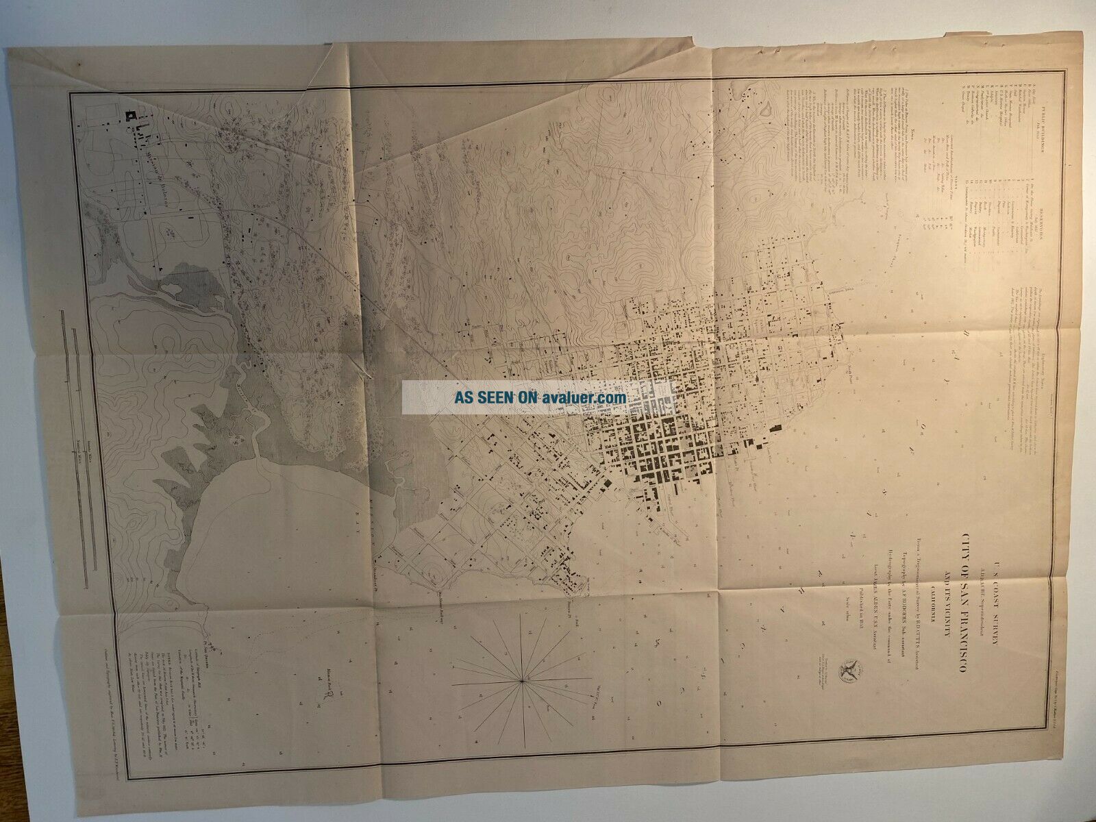
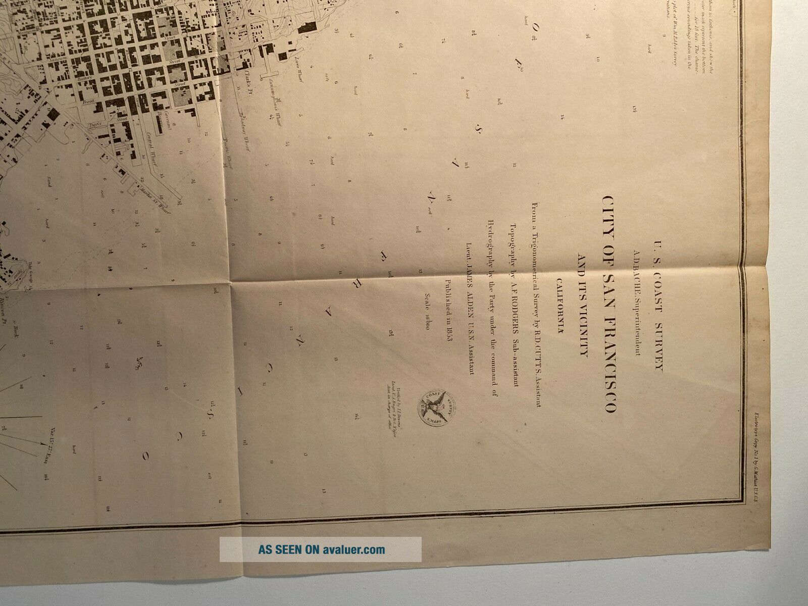
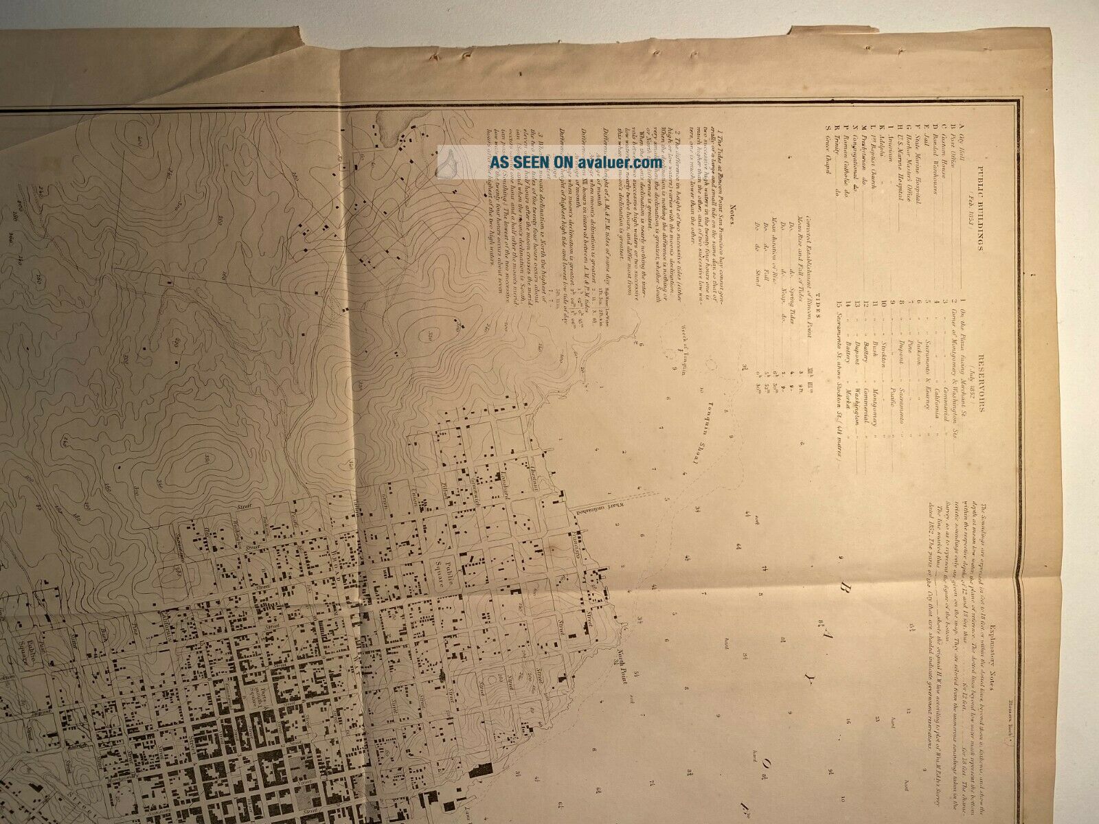
Rare, extremely detailed, original nautical and city chart of San Francisco, California and the immediate surrounding area. Fine detailing of individual buildings of the period, major streets and thoroughfares are evident throughout. City details on a block by block scale. Tide information as well as navigational hazards are listed as well.
Survey was completed under the auspices of Alexan...der Bache, superintendent of the U.S. Coast Survey, from a survey by R.D. Cutts and A.F. Rodgers, under command of Lieut. James Alden.
Size:  27.25 inch  x  20.0 inch
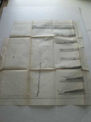
Condition: Fine. Clear, clean, intact with no tears of holes. Folds lines as seen in photos.


    Similar items


  • 1857 U.  S.  Coast Survey Map Of Woods Hole,  Massachusetts

    1857 U. S. Coast Survey Map Of Woods Hole, Massachusetts

  • (1) 1856 U.  S.  Coast Survey Chart: " Port Gamble,  Washington Territory "

    (1) 1856 U. S. Coast Survey Chart: " Port Gamble, Washington Territory "

  • (1) 1856 U.  S.  Coast Survey Chart: " San Pablo Bay,  California "

    (1) 1856 U. S. Coast Survey Chart: " San Pablo Bay, California "

  • U S Coast Survey 1859 - 34 Maps

    U S Coast Survey 1859 - 34 Maps

  • (1) 1855 U.  S.  Coast Survey Chart: " Western Coastof The United States "

    (1) 1855 U. S. Coast Survey Chart: " Western Coastof The United States "

  • U.  S Coast Survey 1856 Nantucket To Maine

    U. S Coast Survey 1856 Nantucket To Maine

  • 1857 U.  S.  Coast Survey Map Of The Chesapeake Bay (3 Parts)

    1857 U. S. Coast Survey Map Of The Chesapeake Bay (3 Parts)

  • (1) 1861 U.  S.  Coast Survey Chart: " Kennebec River,  Entrance To Bath,  Maine "

    (1) 1861 U. S. Coast Survey Chart: " Kennebec River, Entrance To Bath, Maine "


    • You might also like


    • 1860 Mitchell Hand Colored Map Colorado,  Nebraska & Kansas - Civil War Era

      1860 Mitchell Hand Colored Map Colorado, Nebraska & Kansas - Civil War Era

    • 18th Century French Map Of North America

      18th Century French Map Of North America

    • Las Vegas Nevada Vintage 1967 Us Geological Survey Quadrangle Map 4 Panels

      Las Vegas Nevada Vintage 1967 Us Geological Survey Quadrangle Map 4 Panels

    • Rare Antique 1845 Maps United States Exploring Expedition Book Antartica Hawaii

      Rare Antique 1845 Maps United States Exploring Expedition Book Antartica Hawaii

    • Vintage 1926 Map Hollywood From The Best Surveys Of The Time

      Vintage 1926 Map Hollywood From The Best Surveys Of The Time

    • American Continent (western Hemisphere) 1747 Bowen Antique Copper Engraved Map

      American Continent (western Hemisphere) 1747 Bowen Antique Copper Engraved Map

    • Gulf Coast Florida Texas United States 1705 De Fer Unusual Antique Engraved Map

      Gulf Coast Florida Texas United States 1705 De Fer Unusual Antique Engraved Map

    • California As Island United States 1700 De Fer Unusual First Edition Antique Map

      California As Island United States 1700 De Fer Unusual First Edition Antique Map

Avaluer          About Us          Privacy Policy          Contact Us          UP
© 2022, avaluer.net, Inc. or its affiliates