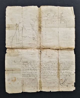
Antique 1890 Hand Drawn Plat Map Hampshire Illinois W/ Family Names & Land Acres


Item History & Price

Information:
Reference Number: Avaluer:55089750Country/Region of Manufacture: United States
Original Description:
Offering a very interesting hand drawn in pencil plat map believing to be Hampshire, Illinois. If you the pictures, you will be able to read some of the Family  names. A few names are: E. M. Matson, H. G. Bell 360, and Mike Somers 148. There are many fields named. The entire paper measures 12 x 11 inches. It is torn in the center. On the right side another drawing was started. I did not tape it as someone may have a better way to preserve and frame it. The portion that is drawn wi...th names measures 6 x 6 1/2 inches. The back has numbers written on it and " Hampshire, Ill. 


    Similar items


  • 1808 Antique Hand Drawn Plat Map Manheim Berks Pa House Trees Folk Art Land
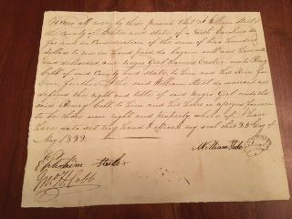
    1808 Antique Hand Drawn Plat Map Manheim Berks Pa House Trees Folk Art Land

  • 1800s Antique Hand Drawn Plat Map West Brunswick Schuylkill Pa Land Draft
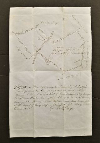
    1800s Antique Hand Drawn Plat Map West Brunswick Schuylkill Pa Land Draft

  • 1814 Antique Hand Drawn Plat Map West Manheim Schuylkill Pa Land Draft
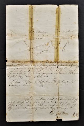
    1814 Antique Hand Drawn Plat Map West Manheim Schuylkill Pa Land Draft

  • 1700s Antique Colonial Hand Drawn Platt Map Lancaster Pa Rudolph Negely
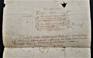
    1700s Antique Colonial Hand Drawn Platt Map Lancaster Pa Rudolph Negely

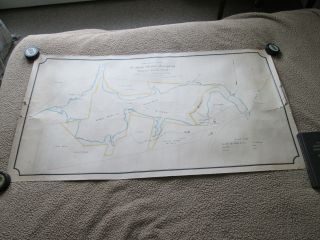
  • 1890 Hand Drawn,  Hand Colored Map,  Belfast Maine,  Showing Water Company Land Vs_

    1890 Hand Drawn, Hand Colored Map, Belfast Maine, Showing Water Company Land Vs_

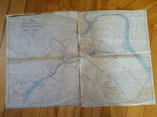
  • 1859 Warwick Ri Hand Drawn Survey Maps Stephen Harris Estate Hp Lovecraft

    1859 Warwick Ri Hand Drawn Survey Maps Stephen Harris Estate Hp Lovecraft

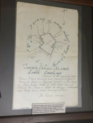
  • Hand Drawn Survey Map Of Edgefield Sc District Herrin Family 1856

    Hand Drawn Survey Map Of Edgefield Sc District Herrin Family 1856

  • Rare 1846 Hand Drawn & Coloured Map Of North America By Thomas Gardner - States

    Rare 1846 Hand Drawn & Coloured Map Of North America By Thomas Gardner - States


    • You might also like


    • 1881 Bill Of Lading Ship " Germanic " White Star Line - - Horrible

      1881 Bill Of Lading Ship " Germanic " White Star Line - - Horrible

    • 1769 Westmoreland Co Pa Land Tract Survey Map John Bargamot Property

      1769 Westmoreland Co Pa Land Tract Survey Map John Bargamot Property

    • Halifax County,  Va Revolutionary War Soldier Zachariah Blalock Signed Deed 1805

      Halifax County, Va Revolutionary War Soldier Zachariah Blalock Signed Deed 1805

    • 1856 - 1877 Receipt Book J W L Tylee Charleston Sc Csa Washington Artillery

      1856 - 1877 Receipt Book J W L Tylee Charleston Sc Csa Washington Artillery

    • Antique Labor Ledger Boy & Girls Mule Room Textile Workers 1847 - 48 Bedford

      Antique Labor Ledger Boy & Girls Mule Room Textile Workers 1847 - 48 Bedford

    • 1803 Herkimer York Document Land Deed Rev War Vets Kaufman Kelller Van Slyck

      1803 Herkimer York Document Land Deed Rev War Vets Kaufman Kelller Van Slyck

    • Very Rare 1822 Negro Slavery Purchase,  Bertie County,  North Carolina,  Slave

      Very Rare 1822 Negro Slavery Purchase, Bertie County, North Carolina, Slave

    • 1839 Antique 19thc Ephemera Alabama Estate Appraisal Old Slave Receipt Letter
      1839 Antique 19thc Ephemera Alabama Estate Appraisal Old Slave Receipt Letter
Avaluer          About Us          Privacy Policy          Contact Us          UP
© 2022, avaluer.net, Inc. or its affiliates