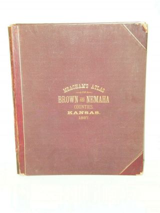
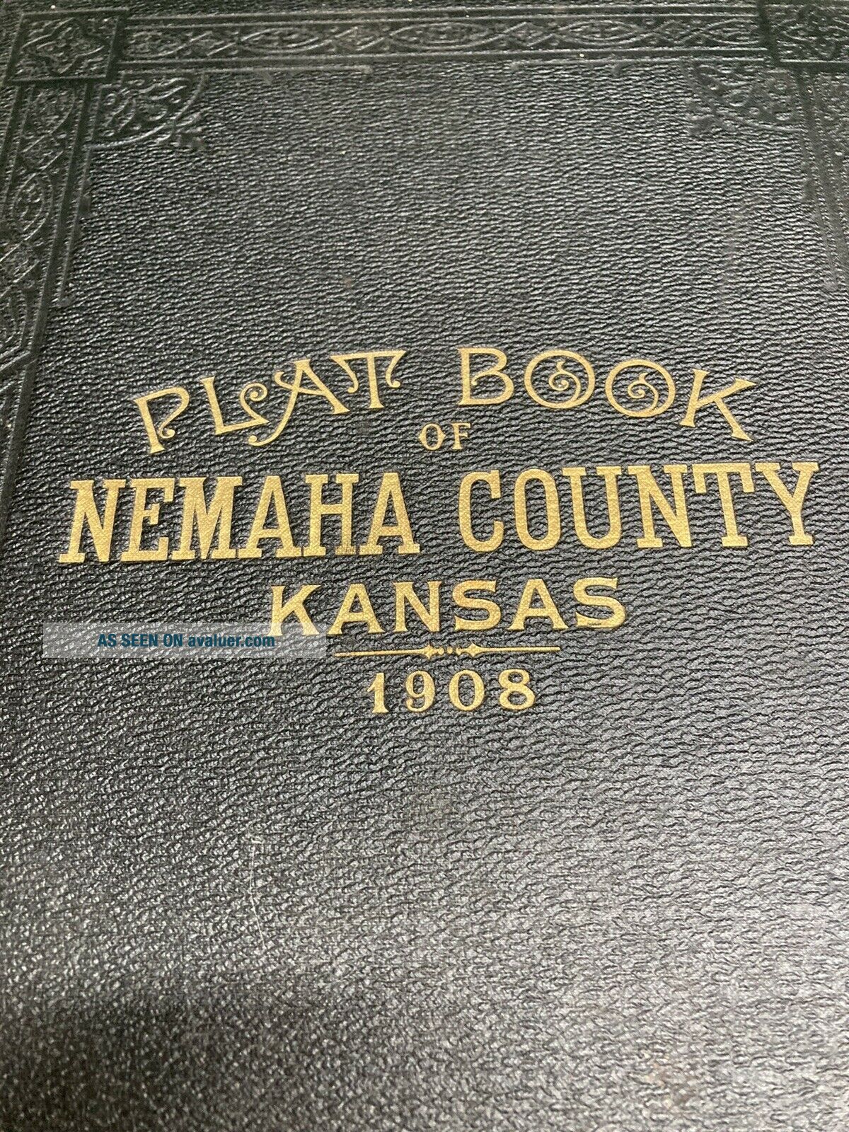
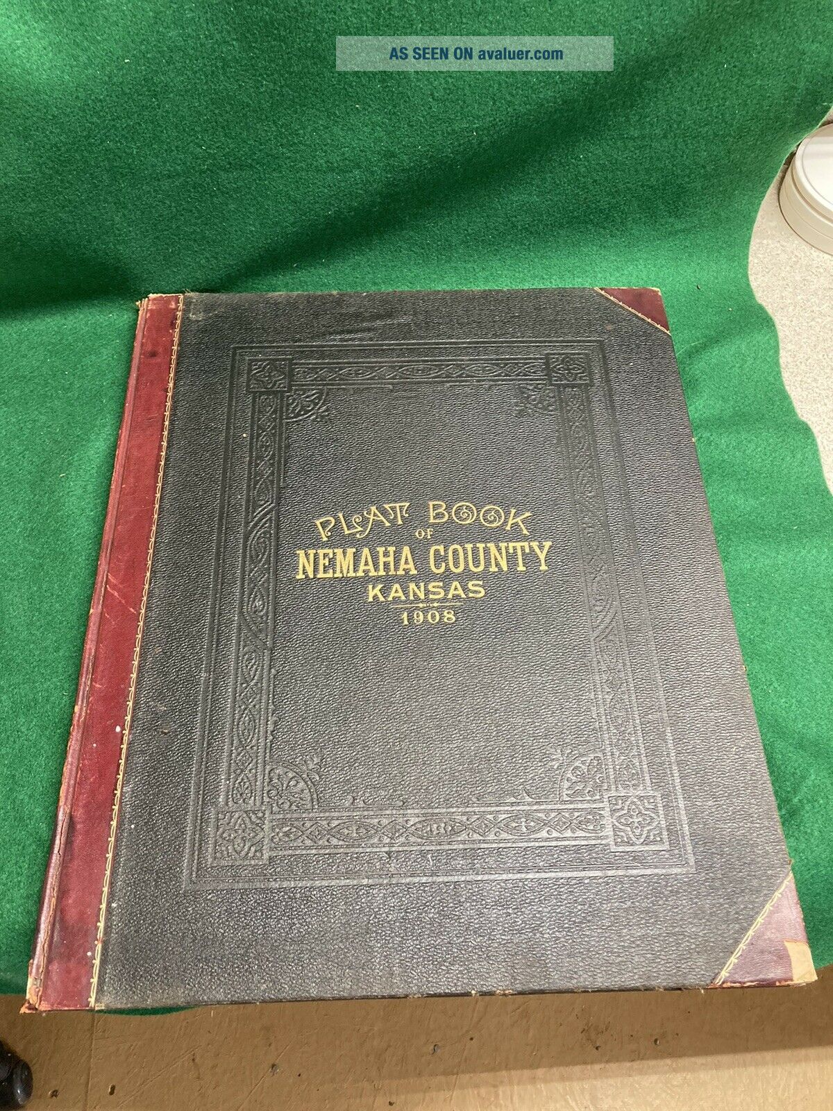
1908 Nemaha County Kansas Plat Book

Item History & Price
| Reference Number: Avaluer:48240905 | US State: Kansas |
| Original/Reproduction: Antique Original | Year: 1908 |
| Date Range: 1900-1909 | Type: County Map |
| Country/Region: United States of America |
1908 Nemaha County Kansas Plat Book. Unique piece of history. Sold as is. See all photos. Shipped with USPS Priority Mail.