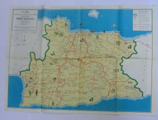
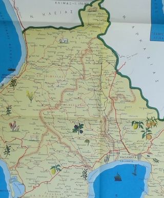
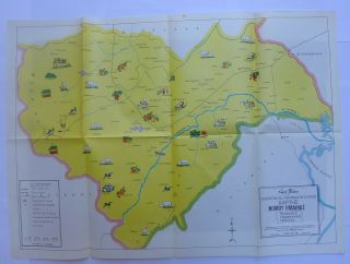
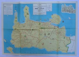
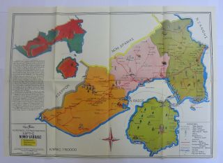
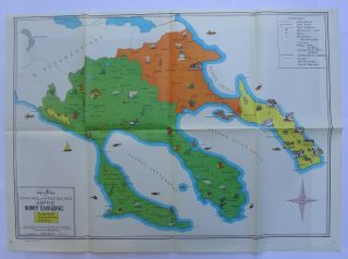
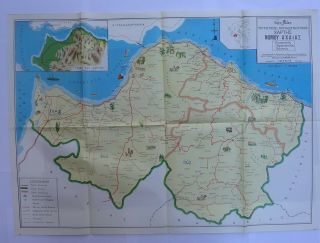
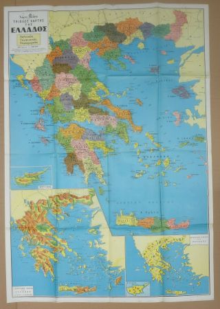
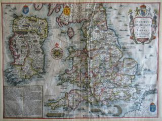
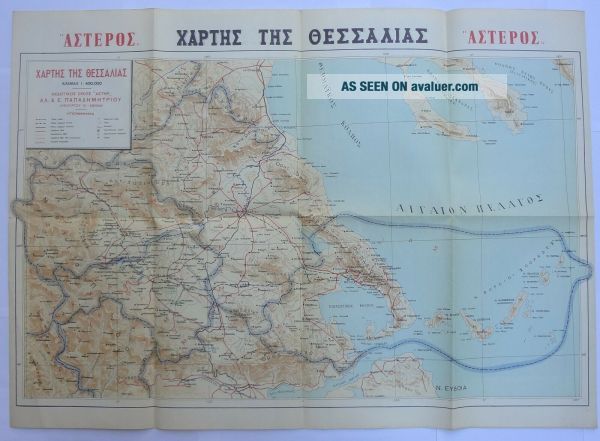
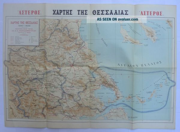
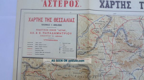
Greece 60 ' S Vintage Chart Map Of Thessaly Larissa Political Tourist
Item History & Price
| Reference Number: Avaluer:28106894 | Type: Political Map |
| Country/Region: Greece |
DESCRIPTION :Greece 60's Vintage Chart Map of Thessaly Larissa Political Tourist
ASTERAS Edition
Very good condition /
Dimensions : 27 1/2'' x 19 3/4'' (70 x 50 cm )
Item will be sent flat between 2 hard cardboards
WORLDWIDE SHIPPING : 9.00 $
Please eMail any questions.
I am glad to combine shipping of multiple purchases.
Please check PHOTOS for condition .
Please be patient and wait for my invoice
I will package multiple wins... together when possible and postage will be at cost.I ship items every day. All shipments are regular air mail.Item will be sent the very next day after payment received ( working days ).I welcome questions; please do not hesitate to contact me. I accept PayPal . Thank you very much for reading this
00014