-
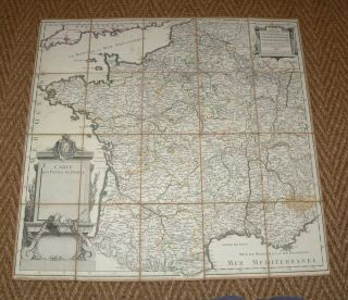
Very Rare 1770 Carte Des Postes De France French Map Linen
-
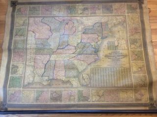
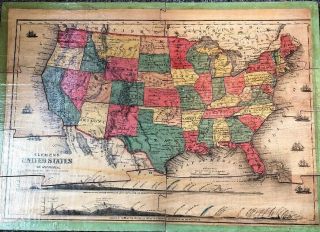
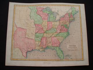
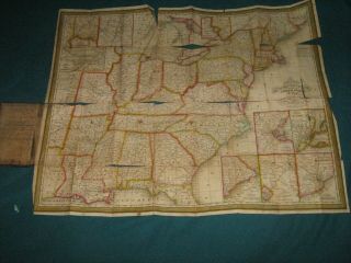
Antique 1844 Mitchell’s National Map Of The American Republic United States
-
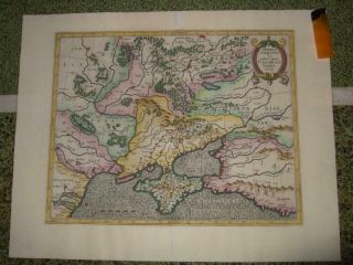
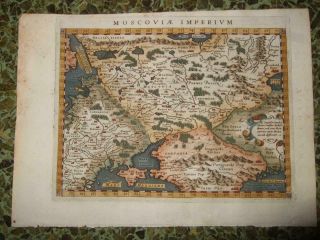
1580s, Xl - Przecopsca - S. Russia, Ukraine, Moscow, Kiev, Crimea, Rostov, Donetsk, Voronezh
-
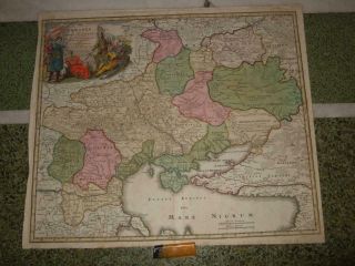
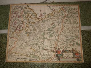
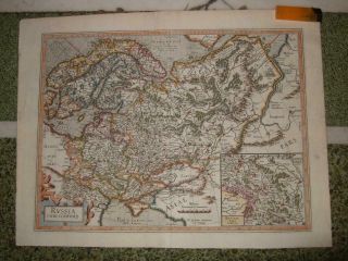
1700s, Xl - Ukraine, Kiev/kyiv, Kharkiv, Odessa, Dnipro, Donetsk, Zaporizhia, Lviv, Crimea
-
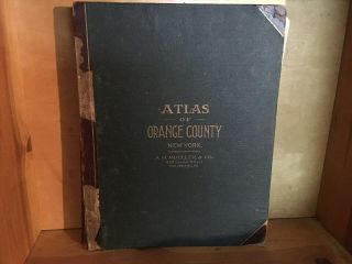
1903 Orange County Ny Atlas - Maps Complete Full Color - Large Size - 116 Yr Old
-
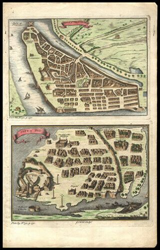
![1770, L - Plan, Moscow, Москва́, Russia, Red Square, Kremlin, Moskau, Moscovia, Moscou]()
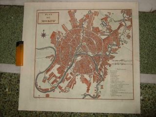
1770, L - Plan, Moscow, Москва́, Russia, Red Square, Kremlin, Moskau, Moscovia, Moscou
-
![1718, L - Gen. Map Czar, Russia, Moscow, St. Petersburg, Samara, Omsk, Kazan, Ufa, Volgograd]()
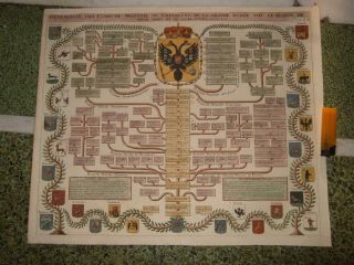
1718, L - Gen. Map Czar, Russia, Moscow, St. Petersburg, Samara, Omsk, Kazan, Ufa, Volgograd
-
![Vintage Circa 1860]()
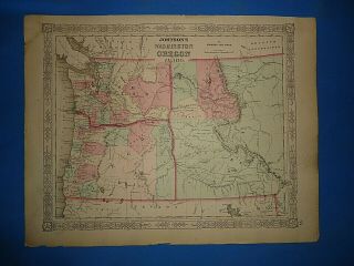
Vintage Circa 1860 ' S Washington - Idaho Territory Map Old Antique B
-
![1596, Russia Empire, Moscow, Voronezh, Kazan, Samara, Rostov, Novgorod, Astrakhan, Perm]()
1596, Russia Empire, Moscow, Voronezh, Kazan, Samara, Rostov, Novgorod, Astrakhan, Perm
-
![1660sxl - Russia, Empire, Moscow, Novgorod, Kazan, Samara, Volgograd, Saratov, Rostov, Perm]()
1660sxl - Russia, Empire, Moscow, Novgorod, Kazan, Samara, Volgograd, Saratov, Rostov, Perm
-
![Vintage Philadelphia Atlas. Wards 23rd & 41st G. W. Bromley & Co. Disston Area]()
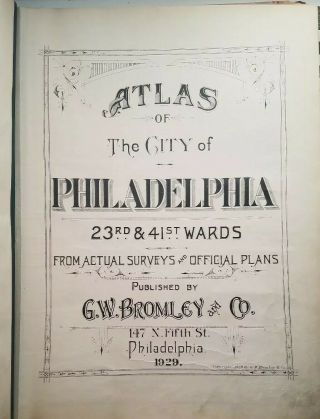
Vintage Philadelphia Atlas. Wards 23rd & 41st G. W. Bromley & Co. Disston Area
-
![Antique Pair Chinese Early Republic Porcelain Imperial Palace Map Vase]()
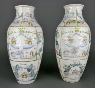
Antique Pair Chinese Early Republic Porcelain Imperial Palace Map Vase
-
![Rare Antique 1863 Typography John Bachelder Civil War Gettysburg Battlefield Map]()
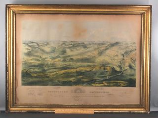
Rare Antique 1863 Typography John Bachelder Civil War Gettysburg Battlefield Map
-
![1831 Middle East Estruc Map Of Egypt Hand Colored Copper Plate Engraving]()
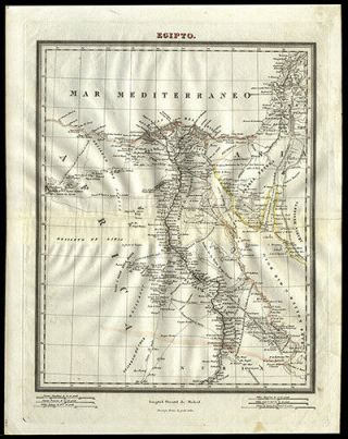
1831 Middle East Estruc Map Of Egypt Hand Colored Copper Plate Engraving
-
![American Continent California As Island 1790 Seutter/probst Unusual Antique Map]()
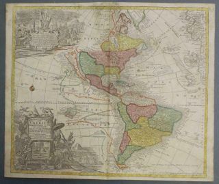
American Continent California As Island 1790 Seutter/probst Unusual Antique Map
-
![1936 Chinese Pictorial Map Of Peking By Frank Dorn Vintage Map]()
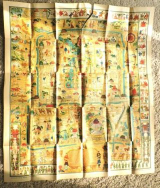
1936 Chinese Pictorial Map Of Peking By Frank Dorn Vintage Map
-
![Antique Map Of Guatemala Or United States Of Central America]()
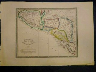
Antique Map Of Guatemala Or United States Of Central America
-
![Woolworth Colton]()
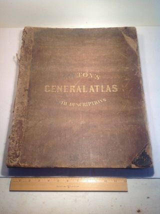
Woolworth Colton ' S 1858 General Atlas With Descriptions Complete
-
![Rare Map Of North America 1809 In Vg]()
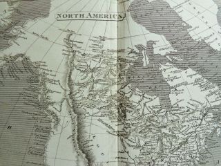
Rare Map Of North America 1809 In Vg
-
![Vintage 1955 (1956) Map Of Singapore Island Survey Dept. Federation Of Malaya]()
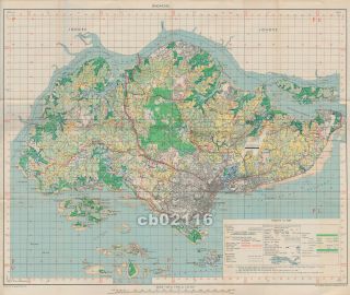
Vintage 1955 (1956) Map Of Singapore Island Survey Dept. Federation Of Malaya
-
![San Francisco Bay Entrance Map 1928 Chart By U S Coast Geodetic Survey]()
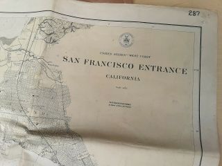
San Francisco Bay Entrance Map 1928 Chart By U S Coast Geodetic Survey
-
![Mid - 19th Century 3 " Holbrook Hinged Pocket Globe And World Map]()
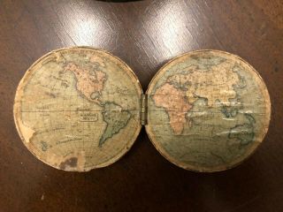
Mid - 19th Century 3 " Holbrook Hinged Pocket Globe And World Map
-
![Antique 1883 Sherwin Williams Wooden Puzzle Map Of United States Complete No Box]()
Antique 1883 Sherwin Williams Wooden Puzzle Map Of United States Complete No Box
-
![U. S Geological Survey Authentic Rubber Stamp 1986 South Pole]()
U. S Geological Survey Authentic Rubber Stamp 1986 South Pole
-
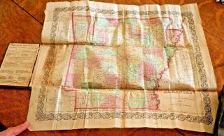
![Pocket Map Of The Comstock Lode - Nevada]()
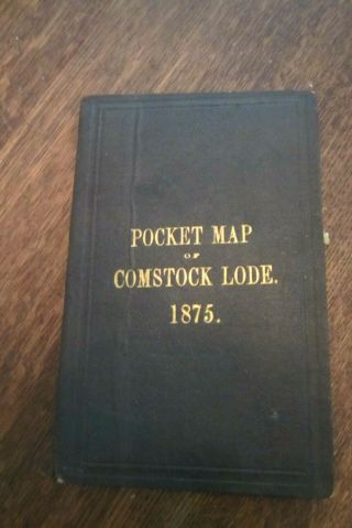
Pocket Map Of The Comstock Lode - Nevada
-
![Rare J. H. Colton 1857 Pre - Civil War Handhld Book Parchment Paper Map Of Arkansas]()
Rare J. H. Colton 1857 Pre - Civil War Handhld Book Parchment Paper Map Of Arkansas
-
![Semi - Precious Stone Inlay Rotating Spinning Desktop Globe 11 In. Mrglb410]()
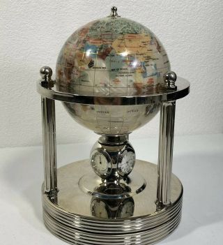
Semi - Precious Stone Inlay Rotating Spinning Desktop Globe 11 In. Mrglb410
-
![1903 Antique Rand, Mcnally & Co. " Unrivaled Atlas Of The World " In Color]()
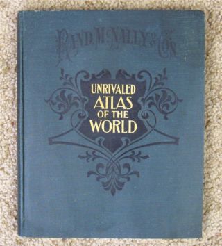
1903 Antique Rand, Mcnally & Co. " Unrivaled Atlas Of The World " In Color
-
![Franklin Sir Francis Drake World Map In Silver 1984 Royal Geographical Soc.]()
Franklin Sir Francis Drake World Map In Silver 1984 Royal Geographical Soc.
-
![Rare Antique Victorian Leather Brass Clasp Holy Bible Old/new Tests, Maps 1888]()
Rare Antique Victorian Leather Brass Clasp Holy Bible Old/new Tests, Maps 1888
-
![South America; Brazil, Santa Catarina Island - Bellin - 1751 - 1760]()
South America; Brazil, Santa Catarina Island - Bellin - 1751 - 1760
-
![Vintage Cram]()
Vintage Cram ' S Universal Terrestrial Globe 10 1/2 Inch With Metal Stand
-
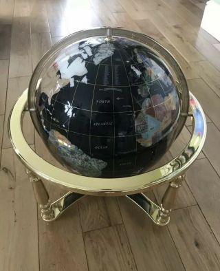
![World Globe Gemstone Table Top With Gold Stand And Compass Office & Home Decor]()
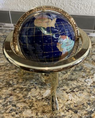
World Globe Gemstone Table Top With Gold Stand And Compass Office & Home Decor
-
![World Globe Gemstone Table Top With Gold Stand And Case]()
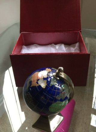
World Globe Gemstone Table Top With Gold Stand And Case
-
![Hand Drawn Antique Map Of “major Fitton’s Land, " 18th - 19th Century]()
Hand Drawn Antique Map Of “major Fitton’s Land, " 18th - 19th Century
-
![1835 Burritt Geography Of The Heavens Atlas 9 Celestial Maps Color Astronomy]()
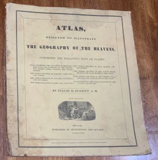
1835 Burritt Geography Of The Heavens Atlas 9 Celestial Maps Color Astronomy
-
![Road From London To Barwick (6), Ogilby / Bowen. E, 1736]()
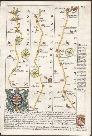
Road From London To Barwick (6), Ogilby / Bowen. E, 1736
-
![Speed Map C1676 Wales Counties Colour Engraved Basset & Chiswell]()
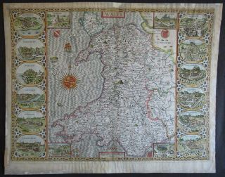
Speed Map C1676 Wales Counties Colour Engraved Basset & Chiswell
-
![Vintage 1937 Edward Viii Coronation Commemorative Melba Bone China World Globe]()
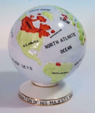
Vintage 1937 Edward Viii Coronation Commemorative Melba Bone China World Globe
-
![1955 U. S. Air Force Aeronautical Chart Or Map Of Lake Sap, Cambodia]()
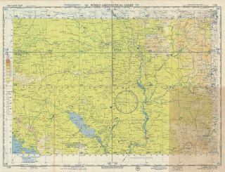
1955 U. S. Air Force Aeronautical Chart Or Map Of Lake Sap, Cambodia
-
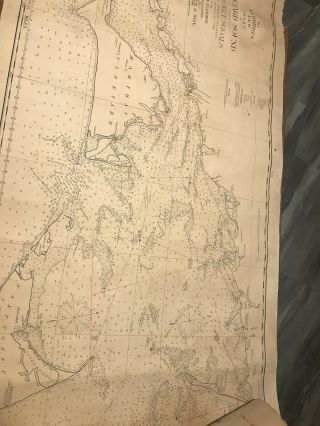
![Rare Map Puget Sound & Grays Harbor Country Lowman & Hanford 1891 Washington Nw]()
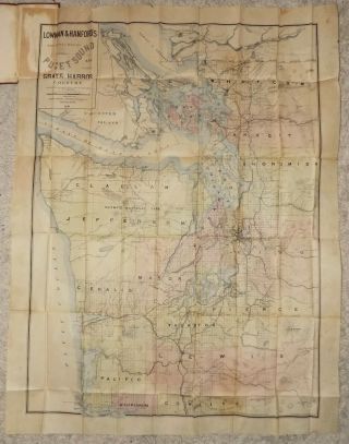
Rare Map Puget Sound & Grays Harbor Country Lowman & Hanford 1891 Washington Nw
-
![Rare 1905 Outline Map Of St. Charles County Missouri Railroads Wagon Roads River]()
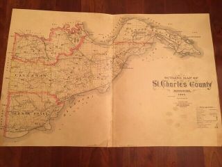
Rare 1905 Outline Map Of St. Charles County Missouri Railroads Wagon Roads River
-
![Isle Malta Gozo Wind Rose Recueil Plans Mer Méditerranée Roux Copper Map 1800]()
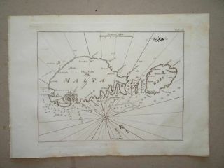
Isle Malta Gozo Wind Rose Recueil Plans Mer Méditerranée Roux Copper Map 1800
-
![Our U. S. A. A Gay Geography By F. Taylor & R. Taylor, Little Brown & Co. 1938]()
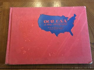
Our U. S. A. A Gay Geography By F. Taylor & R. Taylor, Little Brown & Co. 1938
-
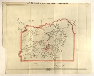
![1924 Color Map Of Environs Of Hong Kong And Kowloon, China - 香港 - 九龍]()
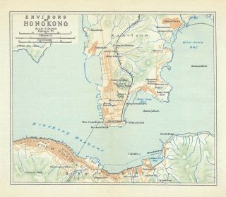
1924 Color Map Of Environs Of Hong Kong And Kowloon, China - 香港 - 九龍
-
![British War Map Singapore 1942]()
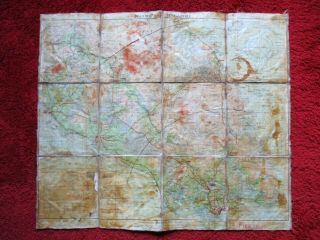
British War Map Singapore 1942
-
![Rarissimum Large Celestial Map - Ram - From Atlas By Hoffmann 37 Cm]()
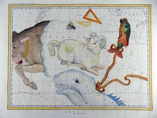
Rarissimum Large Celestial Map - Ram - From Atlas By Hoffmann 37 Cm
-
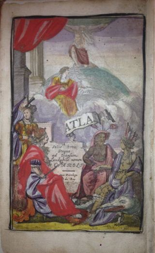
![Atlas De Toutes Les Parties Connie]()
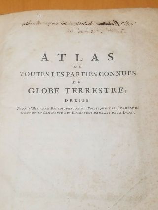
Atlas De Toutes Les Parties Connie ' S Du Globe Terrestre, Dresse
-
![C1933 China Peking Beijing Map Of Tartar City Legation Quarter City Walls]()
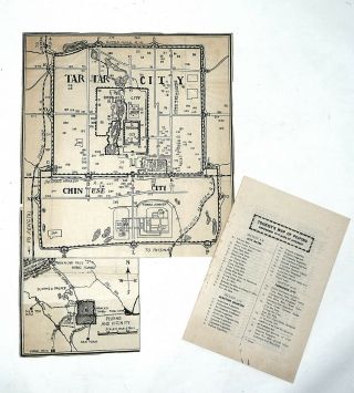
C1933 China Peking Beijing Map Of Tartar City Legation Quarter City Walls
-
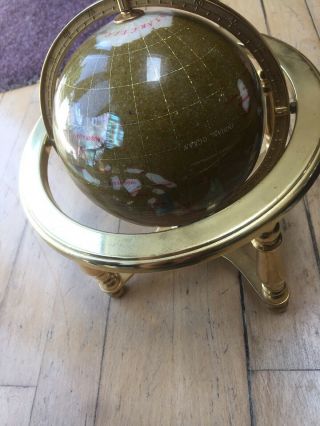
![Globe Of The World In Semi Precious Stone - 250]()
Globe Of The World In Semi Precious Stone - 250
-
![California San Francisco Bay Usa 1887 Imray Wall Antique Blueback Sea Chart]()
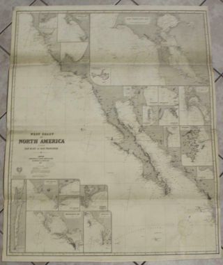
California San Francisco Bay Usa 1887 Imray Wall Antique Blueback Sea Chart
-
![Antique Map Joslin Globe Terrestrial World Gilman Boston Desk Top G. W. Boynton]()
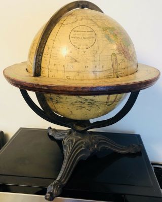
Antique Map Joslin Globe Terrestrial World Gilman Boston Desk Top G. W. Boynton
-
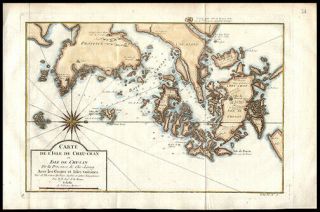
![1 - 5 Old Korea Map C. 1771 Japanese Hand - Writing Manuscript Picture Map]()
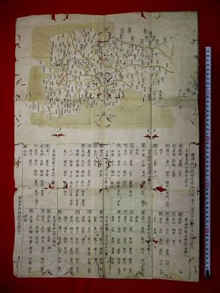
1 - 5 Old Korea Map C. 1771 Japanese Hand - Writing Manuscript Picture Map
-
![Antique 1787 California Missions Vellum Map Historical Atlas Art Serra Troncoso]()
Antique 1787 California Missions Vellum Map Historical Atlas Art Serra Troncoso
-
![Rare Antique Atlas 1888 Robinsons Norfolk County Mass 46 Plate Color Maps]()
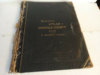
Rare Antique Atlas 1888 Robinsons Norfolk County Mass 46 Plate Color Maps
-
![Semi Precious Stoned Globe Mother Of Pearlmounted On A Brass Stand With Compass]()
Semi Precious Stoned Globe Mother Of Pearlmounted On A Brass Stand With Compass
-
![Homann: Huge Map America Louisiana Florida Caribbean Mexico - 1740]()
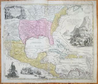
Homann: Huge Map America Louisiana Florida Caribbean Mexico - 1740
-
![1891 Fresno County Atlas With Illustrations By Thos K. Thompsons]()
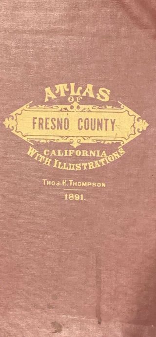
1891 Fresno County Atlas With Illustrations By Thos K. Thompsons
-
![1848 Fairfield County Ohio State Antique Map Lancaster 35 " X 28 "]()
1848 Fairfield County Ohio State Antique Map Lancaster 35 " X 28 "
-
![Heirloom Globe Lighted Floorstanding Replogle Diameter 16 " Antique. A,]()
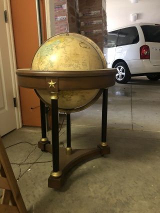
Heirloom Globe Lighted Floorstanding Replogle Diameter 16 " Antique. A,
-
![1937 Military Map Sino - Japanese War Republic Of China Army List China Japan War]()
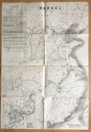
1937 Military Map Sino - Japanese War Republic Of China Army List China Japan War
-
![Eldridge]()
Eldridge ' S Chart No. 1 Vineyard Sound Antique Map On Linen 1897
-
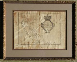
![Undated A And Accurate Map Of The English Empire In The United States Framed]()
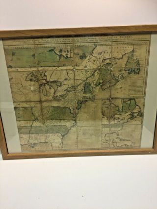
Undated A And Accurate Map Of The English Empire In The United States Framed
-
![1692 Jacques Peeters L]()
1692 Jacques Peeters L ' Atlas En Abrege Ou Nouvelle Description Du Monde Map
-
![C1860 Cruchley Isle Of Wight Hampshire Sussex Sheet 12 Iow Old Antique Map Rare]()
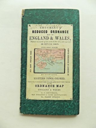
C1860 Cruchley Isle Of Wight Hampshire Sussex Sheet 12 Iow Old Antique Map Rare
-
![Emily Edwards 1929 Pictorial Map Historic Guide Map San Antonio De Bexar Texas]()
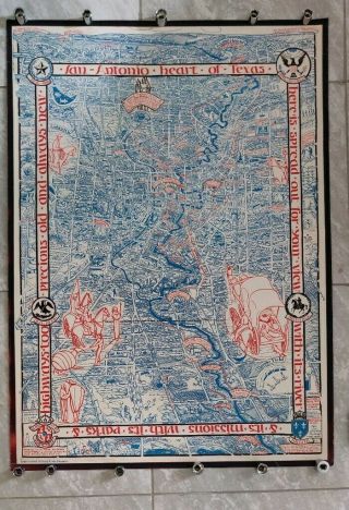
Emily Edwards 1929 Pictorial Map Historic Guide Map San Antonio De Bexar Texas
-
![1889 Biddulph - Cyprus - Ancient Ruins - Fortified Towns - 12]()
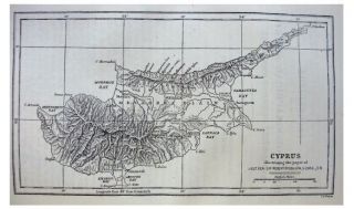
1889 Biddulph - Cyprus - Ancient Ruins - Fortified Towns - 12
-
![Rare Antique G. W. Bromley Atlas 1888 City Of Boston Mass 34 Plates Color Maps]()
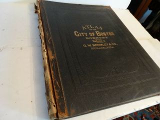
Rare Antique G. W. Bromley Atlas 1888 City Of Boston Mass 34 Plates Color Maps
-
![1845 Gellatly Map Independent Republic United States Iowa Wisconsin Territories]()
1845 Gellatly Map Independent Republic United States Iowa Wisconsin Territories
-
![1897 San Francisco Folding Birds Eye View Map. Advertising. Philo Jacoby. German]()
1897 San Francisco Folding Birds Eye View Map. Advertising. Philo Jacoby. German
-
![Philippines, People In Costumes, Coloured Steel Engraving From Ca. 1850]()
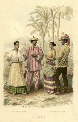
Philippines, People In Costumes, Coloured Steel Engraving From Ca. 1850
-
![Lithographic Antique Map Of Hong Kong, Circa 1931]()
Lithographic Antique Map Of Hong Kong, Circa 1931
-
![Antique 1917 Large Rand Mcnally Commercial Atlas Of America]()
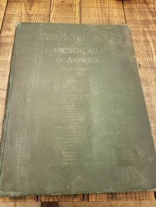
Antique 1917 Large Rand Mcnally Commercial Atlas Of America
-
![Vintage 1986 Starship Earth Ii Celestial Globe With Lucite Stand No Box Ex Cond]()
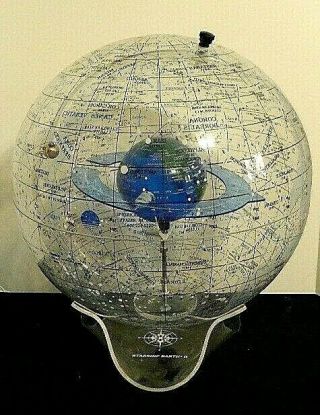
Vintage 1986 Starship Earth Ii Celestial Globe With Lucite Stand No Box Ex Cond
-
![Map Of America Die Newen Inseln Cosmographia Sebastian MÜnster Coloured 1588 34]()
Map Of America Die Newen Inseln Cosmographia Sebastian MÜnster Coloured 1588 34
-
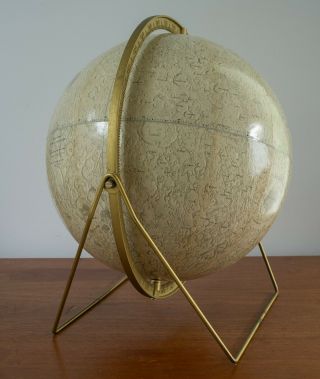
![Vintage (1971) National Geographic Physical Globe, 12 - Inch Globe No Stand]()
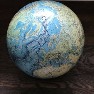
Vintage (1971) National Geographic Physical Globe, 12 - Inch Globe No Stand
-
![1850]()
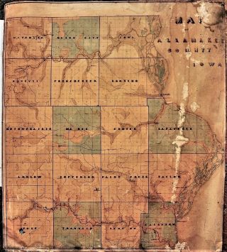
1850 ' S Hand Made Linen Map Of Allamakee County Iowa; 21x24
-
![Africa Ca 1550 Woodcut Antique Map Africa Continent Sebastian Munster]()
Africa Ca 1550 Woodcut Antique Map Africa Continent Sebastian Munster
-
![Vintage 1844 Nebraska California Oregon Texas Territory Map Old Antique]()
Vintage 1844 Nebraska California Oregon Texas Territory Map Old Antique
-
![Vintage Cram]()
Vintage Cram ' S Universal Terrestrial 12 " Light - Up Globe, Base, And Atlas
-
![1893 Gwm Baist Antique Large Atlas Of Castle County Delaware]()
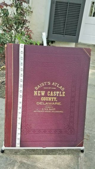
1893 Gwm Baist Antique Large Atlas Of Castle County Delaware
-
![Extremely Rare J. H. Colton 1856 Folded Pocket Map Kentucky Tennessee Not Atlas]()
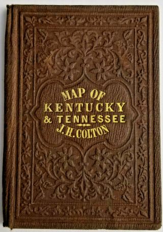
Extremely Rare J. H. Colton 1856 Folded Pocket Map Kentucky Tennessee Not Atlas
-
![Flamsteed Astronomy Celestial Map Orion - 1776]()
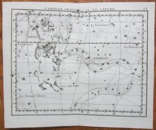
Flamsteed Astronomy Celestial Map Orion - 1776
-
![1737, Xl - Frauendorff, Crimea, Крым, Sevastopol, Simferopol, Kerch, Yalta, Russia, Ukraine]()

1737, Xl - Frauendorff, Crimea, Крым, Sevastopol, Simferopol, Kerch, Yalta, Russia, Ukraine
-
![1640s, Xl - S. Russia, Ukraine, Moscow, Kiev, Charkiv, Voronezh, Rostov, Poltava, Novgorod]()
1640s, Xl - S. Russia, Ukraine, Moscow, Kiev, Charkiv, Voronezh, Rostov, Poltava, Novgorod
-
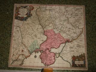
![1750/60sxl - S. Russia, Ukraine, War Map, Tatary - Crimea, Kiev, Sevastopol, Yalta, Cossacks]()
1750/60sxl - S. Russia, Ukraine, War Map, Tatary - Crimea, Kiev, Sevastopol, Yalta, Cossacks
-
![1730s, Xl - S. Russia, Ukraine, War Map, Tatary - Crimea, Kiev, Rostov, Donetsk, Cossacks]()
1730s, Xl - S. Russia, Ukraine, War Map, Tatary - Crimea, Kiev, Rostov, Donetsk, Cossacks
-
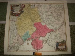
![1734, Xl - Ingria, With View Of St. Petersburg. Russia, Petergof, Kolpino, Gatshina[narva]()
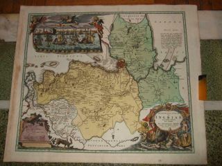
1734, Xl - Ingria, With View Of St. Petersburg. Russia, Petergof, Kolpino, Gatshina[narva
-
![1720s, Xl - View, Panorama Of Moscow Москва́, Russia, Moskau, Moscovie, Moscovia]()
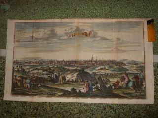
1720s, Xl - View, Panorama Of Moscow Москва́, Russia, Moskau, Moscovie, Moscovia
-
![1580s, Xl - Mercator - Russia, Empire, Moscow, Novgorod, Samara, Kazan, Ufa, Perm]()
1580s, Xl - Mercator - Russia, Empire, Moscow, Novgorod, Samara, Kazan, Ufa, Perm
-
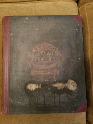
![1876 J D Scott Atlas Bucks County, 108 Pages, Color Maps]()
1876 J D Scott Atlas Bucks County, 108 Pages, Color Maps
-
![Rand Mcnally 12 " Moon Globe Lunar Mid Century Apollo Denoyer Cram Replogle Era]()
Rand Mcnally 12 " Moon Globe Lunar Mid Century Apollo Denoyer Cram Replogle Era
-
![Antique Map - Clinton County Illinois - Warner & Beers/union Atlas Co. 1876]()
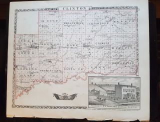
Antique Map - Clinton County Illinois - Warner & Beers/union Atlas Co. 1876
-
![1757 Vaugondy - " Big Folio World Map " Planisphere, Terrestrial Globe, Mappe - Monde]()
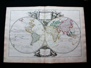
1757 Vaugondy - " Big Folio World Map " Planisphere, Terrestrial Globe, Mappe - Monde
-
![Rare Map 1820 W H Buckland Analysis Of The History Of England Copper Engraving]()
Rare Map 1820 W H Buckland Analysis Of The History Of England Copper Engraving
-
![1757 Vaugondy - " Big Folio Map " : North America, United States, Virginia, Maryland]()
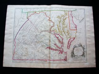
1757 Vaugondy - " Big Folio Map " : North America, United States, Virginia, Maryland
-
![Incredible Vintage Embroidery Sampler 1954 History Of Transportation Usa Map]()
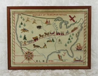
Incredible Vintage Embroidery Sampler 1954 History Of Transportation Usa Map
-
![1747 G. Child Map India Cities Of Cochin & Diu Hand Colored Copper Engraving]()
1747 G. Child Map India Cities Of Cochin & Diu Hand Colored Copper Engraving
-
![Coastal Areas Of China & Shanghai 1750 J Bellin Engraved Hand Colored Map]()
Coastal Areas Of China & Shanghai 1750 J Bellin Engraved Hand Colored Map
-
![1752 Copper Engraved Hand Colored Detailed Map West African Slave Coast]()
1752 Copper Engraved Hand Colored Detailed Map West African Slave Coast
-
![Thomas Fuller Map 1650 Palestine On Both Sides Of Jordan Before Israeli Conquest]()
Thomas Fuller Map 1650 Palestine On Both Sides Of Jordan Before Israeli Conquest
-
![1650 Thomas Fuller Map Palestine Middle East The Wandering Of The Jews]()
1650 Thomas Fuller Map Palestine Middle East The Wandering Of The Jews
-
![1607 Christopher Saxton Map Copper Plate Engraving Cheshire England Cartography]()
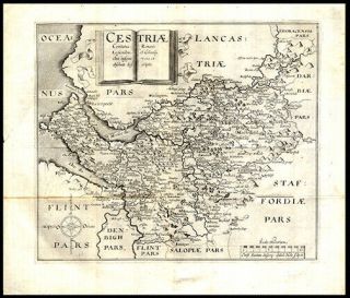
1607 Christopher Saxton Map Copper Plate Engraving Cheshire England Cartography
-
![1784 Hand - Colored Map Of Shropshire & Staffordshire Coat Of Arms Cartouches]()
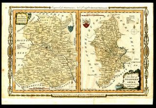
1784 Hand - Colored Map Of Shropshire & Staffordshire Coat Of Arms Cartouches
-
![1771 John Andrews Map Plan Of The City Of Madrid Hand Colored Engraving London]()
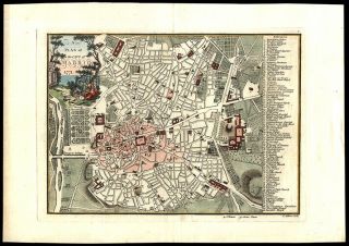
1771 John Andrews Map Plan Of The City Of Madrid Hand Colored Engraving London
-
![1891 Tunison]()
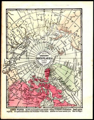
1891 Tunison ' S Map Of The Unknown Polar Sea Showing The Latest Explorations
-
![Map Of Ancient Greece 1831 Hand - Colored Adriatic & Aegian Sea Cartography]()
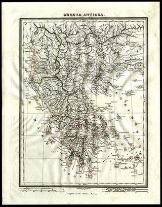
Map Of Ancient Greece 1831 Hand - Colored Adriatic & Aegian Sea Cartography
-
![1639 Map Of Se Asia, India, Australia By Johannes Janssonius Rare]()
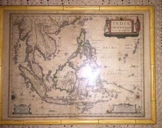
1639 Map Of Se Asia, India, Australia By Johannes Janssonius Rare
-
![1856 Railway Surveyors Cheffins Map Antique Photo Engineer Transport Portugal]()
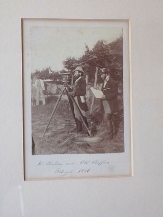
1856 Railway Surveyors Cheffins Map Antique Photo Engineer Transport Portugal
-
![Antique C1800 Needlework Sampler Map British Isles By Harriot Beard Aged 12]()
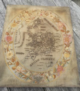
Antique C1800 Needlework Sampler Map British Isles By Harriot Beard Aged 12
-
![1836 Mitchell Folding Map United States Drawing Soldier Texas Rangers Manuscript]()
1836 Mitchell Folding Map United States Drawing Soldier Texas Rangers Manuscript
-
![2 1860 Maps York Central Park, Olmstead & Vaux 3rd Report Commissio]()
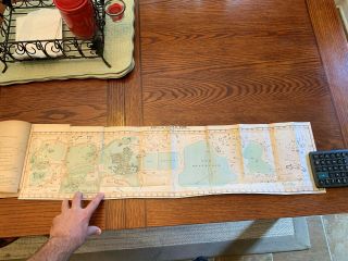
2 1860 Maps York Central Park, Olmstead & Vaux 3rd Report Commissio
-
![1855 Us Coast Survey & Bache Antique Map Golden Gate Entrance To San Francisco]()
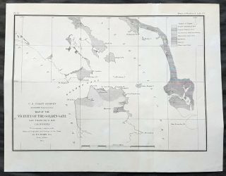
1855 Us Coast Survey & Bache Antique Map Golden Gate Entrance To San Francisco
-
![Map; Mexico & Central America - Map Of West Indies 1887]()
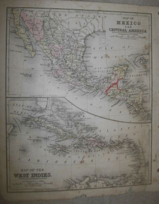
Map; Mexico & Central America - Map Of West Indies 1887
-
![Vintage Sheet Map Of The Isle Of Wight Wight Island Circa. 1600]()
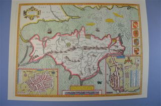
Vintage Sheet Map Of The Isle Of Wight Wight Island Circa. 1600 ' S
-
![1789 Bonne - Rare Map Of North America, United States, Mexico, Canada, Caribbean]()
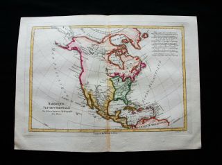
1789 Bonne - Rare Map Of North America, United States, Mexico, Canada, Caribbean
-
![1905 China Canton Macao Macau Guangdong Zhujiang Antique Map Dated]()
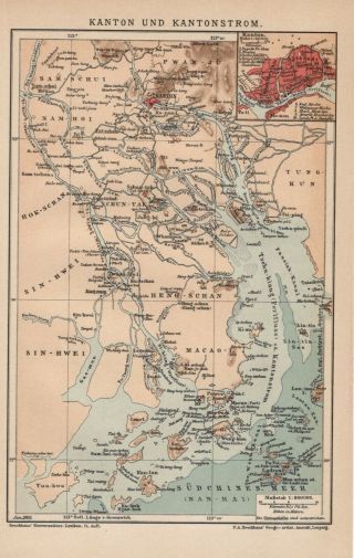
1905 China Canton Macao Macau Guangdong Zhujiang Antique Map Dated
-
![Antique Map. North, Central & South America. 1905]()
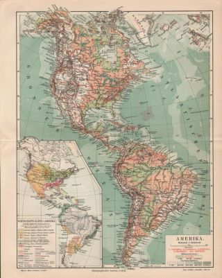
Antique Map. North, Central & South America. 1905
-
![West Point Wwii Map War Japan Malaysia Battle Of Singapore Muar Kampar Jitra Etc]()
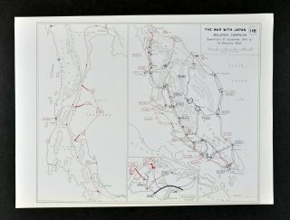
West Point Wwii Map War Japan Malaysia Battle Of Singapore Muar Kampar Jitra Etc
-
![1841 Zealand Admiraly Surveys James Wyld London Linen Cloth Backed Map]()
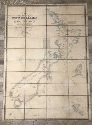
1841 Zealand Admiraly Surveys James Wyld London Linen Cloth Backed Map
© 2022, avaluer.net, Inc. or its affiliates